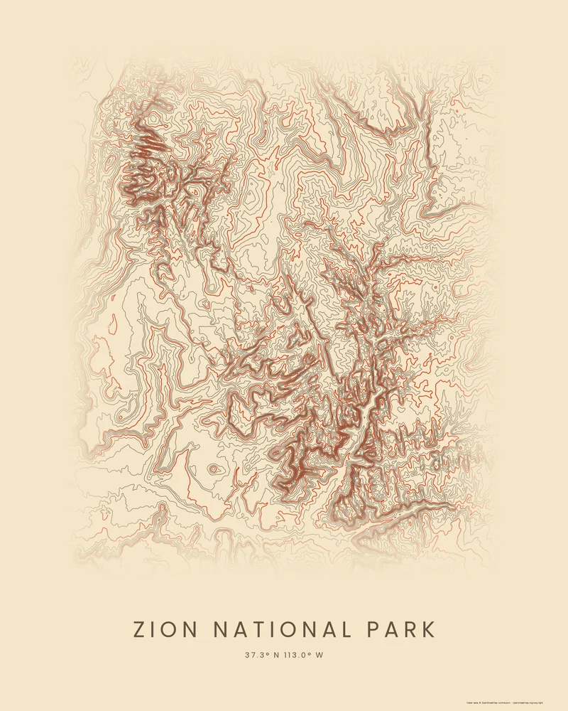
Zion was first protected as Mukuntuweap National Monument on July 31, 1909, and became Zion National Park in 1919; the Kolob Canyons section joined it in 1956. The park covers 148,016 acres, and its elevation runs from 3,666 feet at Coalpits Wash in the southwest to 8,726 feet on Horse Ranch Mountain in the Kolob Canyons. The North Fork of the Virgin River cut Zion Canyon through about 2,000 feet of Navajo Sandstone, leaving towers such as Angels Landing above the canyon floor.
The curated map area is a rectangle of about 38 by 44 kilometers drawn around the park, so it includes land outside it. In the Contours preview, the canyons stand out as dense bands of dark lines where the walls drop steeply, branching through the middle of the frame, while the high terraces and mesas between them open out into wider, calmer rings.
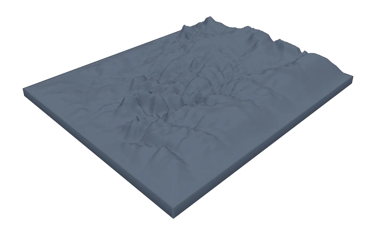
The preview is the Contours export for this map area in the canyon palette on cream paper, generated from public elevation data. In the creator you can change the contour interval, colors and title, or switch to Ridgeline or Strata. Choose 3D Terrain Model to download the park as a printable STL or 3MF; the download credits the elevation source used.
Park facts from the National Park Service: biophysical description, history and culture, nature.
- Starting point
- Map area
- Map area
- 37.13°–37.53° N, 112.82°–113.25° W
- Preview style
- Contours
- Poster files
- PNG, PDF and SVG at print resolution
- Model files
- STL, 3MF and GLB, when you choose the 3D terrain model
- Price
- Pay what you want, including free
What you can make from Zion National Park
Poster. Keep the Contours preview or switch to another poster style. Set the title, colors and size, then download PNG, PDF or SVG and print it yourself or through a print shop.
3D terrain model. Choose the 3D Terrain Model product to turn the same terrain into a printable relief. Adjust the model size, base and vertical exaggeration, preview it in the browser, then download STL or 3MF for your slicer.
Questions about the Zion National Park artwork
- Is there a Zion trail poster with Angels Landing?
- Yes. The Angels Landing place page bundles the National Park Service's trail from the Grotto to the summit as a Ridgeline poster. This page shows the whole park without a route; you can also upload your own GPX file of a Zion hike.
- Can I download this landscape as an STL file?
- Yes. Choose 3D Terrain Model in the creator to turn the same map area into a printable relief model. Download STL or 3MF, open it in your slicer, and check the scale for your printer.
- How much does it cost?
- Downloads are pay what you want, including free. You can add a contribution at checkout if the artwork or model is worth it to you. No account is needed.
- Do you ship a printed poster or a 3D print?
- No. Printed Canyon delivers digital files only: PNG, PDF and SVG for posters, and STL, 3MF and GLB for terrain models. You print them at home or through a print shop or 3D-printing service of your choice.
See every park ready to customize in national park map posters.
Related tools: 3D printed maps, 3D printed topographic maps, the contour map generator, GPX to poster and GPX to STL.