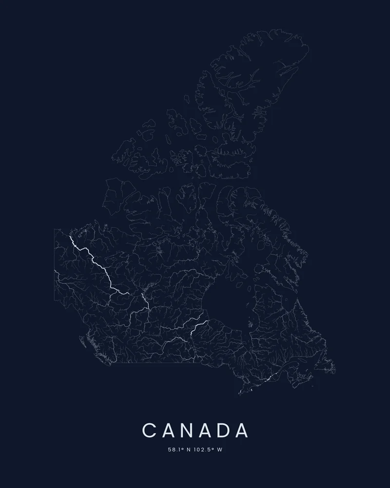
Canada is the second-largest country in the world and has more lakes than any other. Its rivers drain to three oceans and Hudson Bay: the Mackenzie, the longest, flows north to the Arctic Ocean, the St. Lawrence carries the Great Lakes to the Atlantic, and the Fraser and the Columbia reach the Pacific. The highest peak, Mount Logan in Yukon, rises to 5,959 meters (19,551 feet).
The artwork is the whole country cut to its outline, the Arctic Archipelago included. Watershed draws only water, ranked by size, so the great rivers read as the strongest lines while countless smaller streams thread the Canadian Shield around Hudson Bay.
The preview is the Watershed export for this outline, generated from public hydrography data. In the creator you can change the colors and title, or switch to Ridgeline, Contours or Strata to show the terrain instead. Choose 3D Terrain Model for a printable relief model cut to the same outline, as STL or 3MF; the download credits the elevation source used.
- Starting point
- Country or territory
- Boundary
- CA
- Preview style
- Watershed
- Poster files
- PNG, PDF and SVG at print resolution
- Model files
- STL, 3MF and GLB, when you choose the 3D terrain model
- Price
- Pay what you want, including free
What you can make from Canada
Poster. Keep the Watershed preview or switch to another poster style. Set the title, colors and size, then download PNG, PDF or SVG and print it yourself or through a print shop.
3D terrain model. Choose the 3D Terrain Model product to turn the same terrain into a printable relief. Adjust the model size, base and vertical exaggeration, preview it in the browser, then download STL or 3MF for your slicer.
Questions about the Canada artwork
- Where does the country outline come from?
- From Natural Earth's public-domain boundary data. The country's provinces or states are joined into one outline, and every island and overseas part stays in its true position. Borders in disputed areas follow Natural Earth's de facto lines; they are not a statement on any claim.
- Can I 3D print the whole country?
- Yes. Switch the product to 3D Terrain Model in the creator to preview the country as a relief model cut to the same outline, then download STL, 3MF or GLB. Across a whole country, a raised Elevation setting helps the ranges stand out; check the slicer preview before printing.
- How much does it cost?
- Downloads are pay what you want, including free. You can add a contribution at checkout if the artwork or model is worth it to you. No account is needed.
- Do you ship a printed poster or a 3D print?
- No. Printed Canyon delivers digital files only: PNG, PDF and SVG for posters, and STL, 3MF and GLB for terrain models. You print them at home or through a print shop or 3D-printing service of your choice.
Want the conversion pages instead? See GPX to poster or GPX to STL.