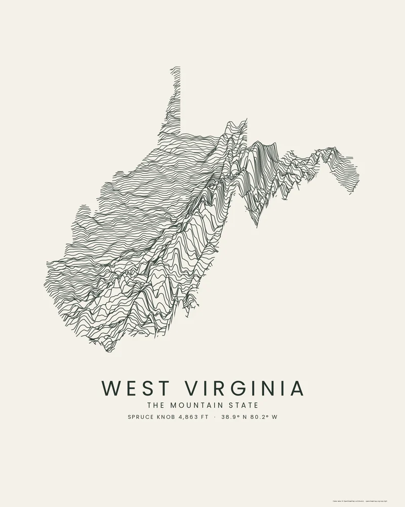
West Virginia is the only state entirely within the Appalachian region, and it has the highest mean elevation east of the Mississippi River, about 1,500 feet (457 m). The Allegheny Mountains and the ridges and valleys of the east hold Spruce Knob, the highest point at 4,863 feet (1,482 m); to the west, rivers have cut the Appalachian Plateau into steep hills and narrow valleys, among them the New River Gorge. The lowest point is the Potomac River at Harpers Ferry, at 240 feet (73 m).
In the Ridgeline preview, the eastern ridges rise as long parallel crests along the southeastern edge, the plateau fills the rest of the outline with tightly packed, jagged lines, and the two panhandles reach up at the top and out to the east.
The preview is the Ridgeline export for West Virginia with dark lines on light paper, at 18 × 24 inches. In the creator you can adjust line density, perspective, colors and title, or switch the state to Contours, Strata or a 3D terrain model.
- Starting point
- US state
- Boundary
- WV
- Preview style
- Ridgeline
- Poster files
- PNG, PDF and SVG at print resolution
- Model files
- STL, 3MF and GLB, when you choose the 3D terrain model
- Price
- Pay what you want, including free
West Virginia elevation
- Highest point
- Spruce Knob, 4,863 ft (1,482 m)
- Lowest point
- Potomac River, 240 ft (73 m)
- Mean elevation
- About 1,500 ft (457 m)
Source: U.S. Census Bureau, Statistical Abstract of the United States: 2012, Table 366, from U.S. Geological Survey figures. Meters are converted from feet and rounded; recent surveys can differ by a few feet.
What you can make from West Virginia
Poster. Keep the Ridgeline preview or switch to another poster style. Set the title, colors and size, then download PNG, PDF or SVG and print it yourself or through a print shop.
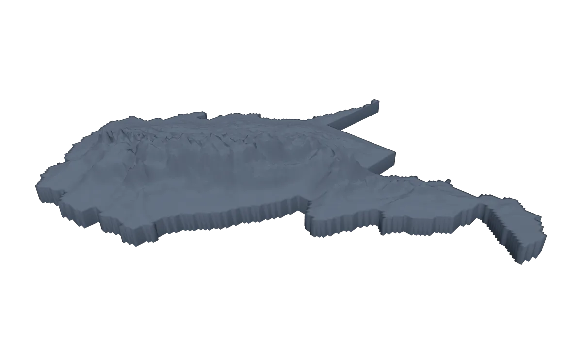
3D terrain model. Choose the 3D Terrain Model product to turn the same state into a printable relief. Adjust the model size, base and vertical exaggeration, preview it in the browser, then download STL or 3MF for your slicer.
Questions about the West Virginia artwork
- Can I make a map of New River Gorge National Park?
- Yes. Search New River Gorge in the creator, or draw your own area, and the gorge and the plateau around it fill the poster instead of a small part of the state.
- Can I make a 3D-printable model of the whole state?
- Yes. Switch the product to 3D Terrain Model in the creator to preview the state as a relief model and download STL, 3MF or GLB. Choose a model size that fits your printer and check the slicer preview before printing.
- How much does it cost?
- Downloads are pay what you want, including free. You can add a contribution at checkout if the artwork or model is worth it to you. No account is needed.
- Do you ship a printed poster or a 3D print?
- No. Printed Canyon delivers digital files only: PNG, PDF and SVG for posters, and STL, 3MF and GLB for terrain models. You print them at home or through a print shop or 3D-printing service of your choice.
Related tools: 3D printed maps, 3D printed topographic maps, the contour map generator, GPX to poster and GPX to STL.