Your route, as terrain you can print.
Printed Canyon converts a GPX track into a 3D-printable terrain model with your hike, ride or run on it. Preview the terrain online, then download STL or 3MF for $0 without an account.
Pay what you want. Digital files. No account.
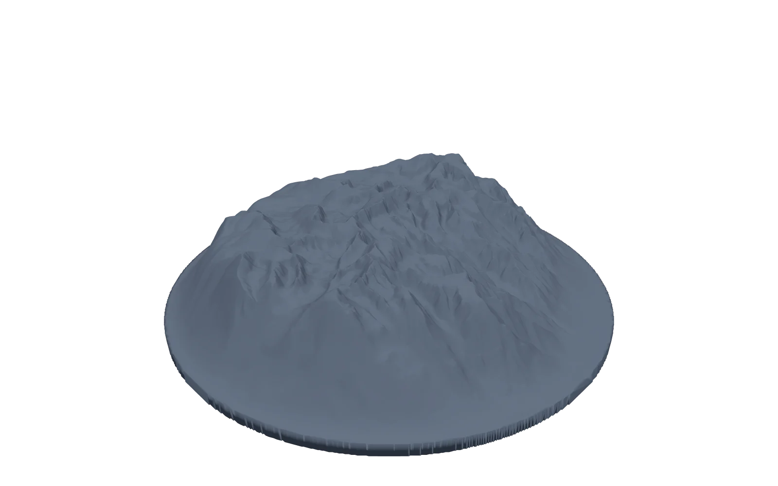
From GPX to STL in three steps
- Step 1
Bring your route
Export a GPX track from your GPS device or activity service and upload it. The GPX describes the route; Printed Canyon adds the terrain around it. You can also start from a curated place.
- Step 2
Shape your landscape
Choose the terrain model. Set the model size, terrain extent, base shape and vertical exaggeration. Turn the preview to inspect the route before exporting.
- Step 3
Download and slice
Download STL or 3MF, open it in your slicer, and check the scale and layer preview for your printer. You print it, or have a service print it.
Keep the terrain, not just the line
Printed Canyon combines your route coordinates with elevation data to model the ridges and valleys around your track. Raise the route above the terrain, recess it into the surface, or export it as a separate part for a second color. Download STL or 3MF for slicing; a GLB is included for viewing.
For a readable print, start with a manageable area and a model size that fits your printer. Vertical exaggeration can emphasize elevation, but preview the result and use your slicer to check the final print. Terrain detail depends on the available elevation data and your settings.
No route to show? Make a 3D printed topographic map of a place, a country or a US state instead.
Need a route file? Download a sample GPX or learn how to export your own. For terrain without a route, use Map to STL.
Before you make your model
Does my GPX file need elevation data?
No. Your GPX supplies the route coordinates; Printed Canyon obtains the surrounding terrain from elevation data. A GPX track alone does not describe the land around your route.
Is the GPX to STL converter free?
You can create and download a model for free. Printed Canyon uses pay-what-you-want pricing, so you can choose to contribute when downloading.
Do I receive a physical 3D print?
No. You receive digital files. Print the model yourself or take it to a 3D-printing service. Materials, printing and shipping are not included.
Should I download STL or 3MF?
Use STL for a single-color print and import it in millimeters, because STL does not store units. Use 3MF to keep a separate route part aligned with the terrain for multi-color printing. Check the dimensions and layer preview in your slicer before printing.
What if I do not have a GPX file?
Start with a curated place, search for a location, or choose a country or US state. You can also export a route from the activity service or GPS device you use.
Can I make a poster instead?
Yes. The same place can become a poster in any of the poster styles, with PNG, PDF and SVG downloads, if you would rather frame your route than print it.
Prefer wall art? Explore five poster styles. Need help with a route or download? Contact Printed Canyon.