Sample GPX files, free to download.
Three real trail routes as GPX files, ready to test a GPX viewer or converter, or to turn into a poster or 3D terrain model. No account needed.
Trail geometry from the National Park Service — NPS Public Trails Geographic. Bundled routes are artwork inputs, not navigation guidance. Check current park guidance before any hike.
Download a sample GPX file
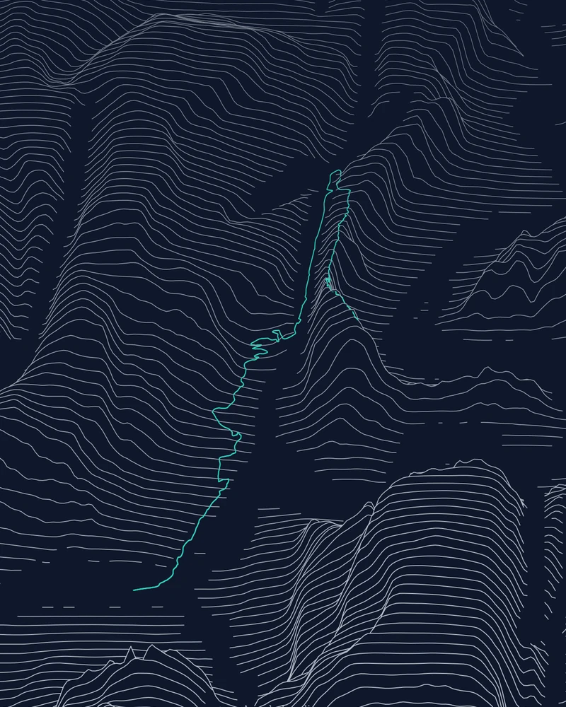
Angels Landing
The Grotto to the summit, route included
angels-landing.gpx · 660 track points
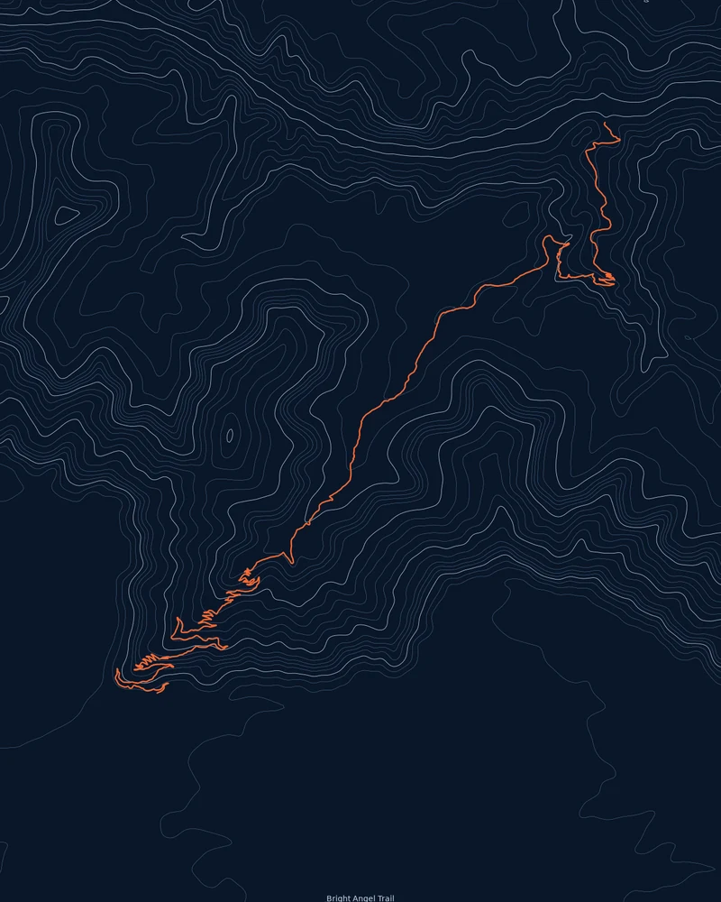
Bright Angel Trail
South Rim to River Resthouse, route included
bright-angel.gpx · 2,286 track points
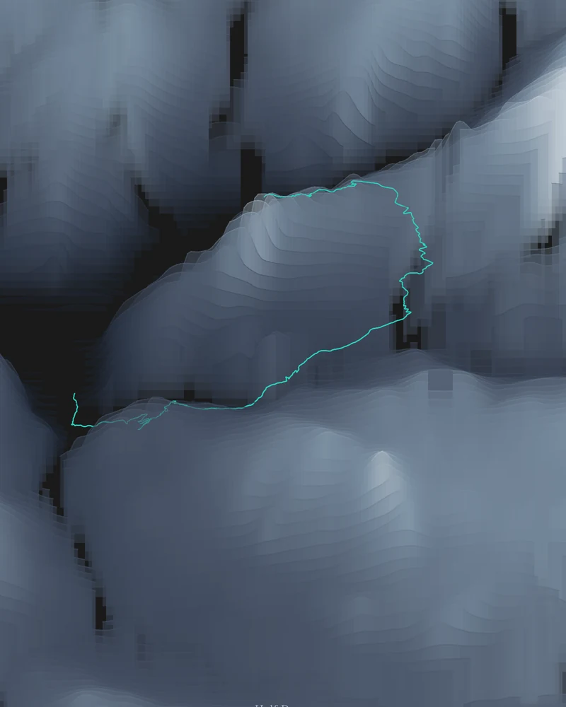
Half Dome
Happy Isles to the summit, route included
half-dome.gpx · 1,117 track points
What to do with a sample GPX file
GPX is a plain XML format for GPS tracks, so a sample file is a quick way to check that an app, script or converter reads tracks correctly. Open it in a text editor to see the structure, or load it into any GPX viewer.
In Printed Canyon, upload one to see how a route becomes art: a GPX poster in Ridgeline, Contours or Strata, or a GPX to STL terrain model with the trail on the surface. Each sample also opens directly in the creator from the buttons above.
Sample GPX file questions
Can I use these GPX files for navigation?
No. They are artwork inputs traced from National Park Service trail data, without elevation, timestamps or waypoints. Trails, closures and permits change, so plan hikes with current park information and a map meant for navigation.
What is inside each sample GPX file?
A GPX 1.1 file with one track: a name, a short description and a single segment of latitude and longitude points. There is no elevation, time or heart-rate data, which keeps the files small and easy to inspect.
Can I share or reuse the sample files?
The trail geometry comes from a National Park Service public dataset. Credit the National Park Service when you reuse it, and keep the note that the route is not navigation guidance.
How do I get a GPX file of my own hike?
Most tracking apps can export one. The illustrated guide on finding and uploading GPX files shows the Strava and AllTrails exports step by step.
Ready to use your own route? Read how to find and upload a GPX file, or upload one now.