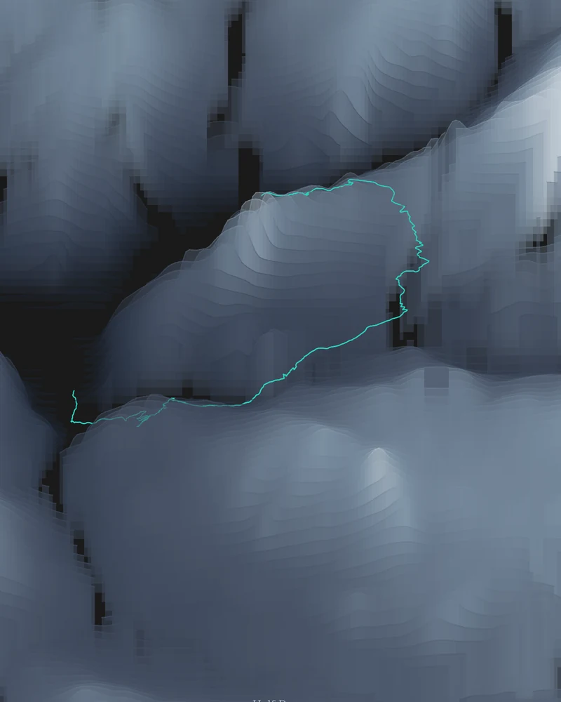
The bundled route runs from Happy Isles via the John Muir Trail and Half Dome Trail to the summit, using 1,117 points of National Park Service trail geometry. It climbs past Vernal and Nevada Falls, through Little Yosemite Valley, and up the cables to the summit. The National Park Service lists the day hike at 14 to 16 miles (23 to 26 km) round trip with 4,800 feet (1,463 m) of elevation gain.
The preview is the Strata export for this route with the shale palette and a turquoise trail highlight. The same route is the example in the illustrated guide, which walks through every setting used to produce a sandstone version. Open it in the creator to make it yours, or switch to a 3D terrain model of the dome with the route embossed.
- Starting point
- National Park Service trail
- Preview style
- Strata
- Poster files
- PNG, PDF and SVG at print resolution
- Model files
- STL, 3MF and GLB, when you choose the 3D terrain model
- Price
- Pay what you want, including free
What you can make from Half Dome
Poster. Keep the Strata preview or switch to another poster style. Set the title, colors and size, then download PNG, PDF or SVG and print it yourself or through a print shop.
3D terrain model. Choose the 3D Terrain Model product to turn the same terrain into a printable relief. Adjust the model size, base and vertical exaggeration, preview it in the browser, then download STL or 3MF for your slicer.
Route. The bundled trail comes from the National Park Service and appears highlighted on the terrain. Bundled routes are artwork inputs, not navigation guidance. Upload your own GPX file to replace it with your recorded hike.
Questions about the Half Dome artwork
- Is there a step-by-step guide for the Half Dome poster?
- Yes. The guide “How to turn a GPX route into a printable trail poster” uses this exact route and shows the upload, style, settings and export screens with real screenshots.
- Can I use my own hike instead of the bundled route?
- Yes. Upload a GPX file from Strava, AllTrails, Garmin or another service and your recorded track replaces the bundled one. The bundled routes are artwork inputs from National Park Service trail data, not navigation guidance.
- Can I 3D print this trail as a terrain model?
- Yes. In the creator, switch the product to 3D Terrain Model. The route is embossed on the surrounding terrain, and you can adjust the model size, terrain extent and vertical exaggeration before downloading STL or 3MF.
- How much does it cost?
- Downloads are pay what you want, including free. You can add a contribution at checkout if the artwork or model is worth it to you. No account is needed.
- Do you ship a printed poster or a 3D print?
- No. Printed Canyon delivers digital files only: PNG, PDF and SVG for posters, and STL, 3MF and GLB for terrain models. You print them at home or through a print shop or 3D-printing service of your choice.
Related guide: How to turn a GPX route into a trail poster.
Related tools: 3D printed maps, 3D printed topographic maps, the contour map generator, GPX to poster and GPX to STL.