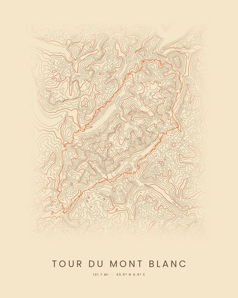
The Tour du Mont Blanc circles the Mont Blanc massif through the Chamonix valley in France, Courmayeur in Italy and Champex in Switzerland. It is usually walked in about ten days and is commonly given as about 170 kilometers (105 miles) with around 10,000 meters (33,000 feet) of climbing, over passes such as the Col de la Seigne and the Grand Col Ferret. Mont Blanc itself measured 4,805.59 meters in the 2023 survey.
The bundled track is joined from the OpenStreetMap hiking route relation for the Tour du Mont Blanc, © OpenStreetMap contributors under the Open Database License. In the Contours preview, the loop is highlighted around the massif, with the contour lines packed tight on the glaciated peaks inside it and spreading out in the valleys the route follows.
The track is artwork, not navigation guidance. In the creator you can change the contour interval, colors, highlight color and title, or switch to Ridgeline or Strata. Choose 3D Terrain Model to emboss the loop on a printable model of the massif; the download credits the elevation source used.
- Starting point
- OpenStreetMap hiking route
- Preview style
- Contours
- Poster files
- PNG, PDF and SVG at print resolution
- Model files
- STL, 3MF and GLB, when you choose the 3D terrain model
- Price
- Pay what you want, including free
What you can make from Tour du Mont Blanc
Poster. Keep the Contours preview or switch to another poster style. Set the title, colors and size, then download PNG, PDF or SVG and print it yourself or through a print shop.
3D terrain model. Choose the 3D Terrain Model product to turn the same terrain into a printable relief. Adjust the model size, base and vertical exaggeration, preview it in the browser, then download STL or 3MF for your slicer.
Route. The bundled trail is an OpenStreetMap hiking route, joined into one track and highlighted on the terrain. Bundled routes are artwork inputs, not navigation guidance. Upload your own GPX file to replace it with your recorded hike.
Questions about the Tour du Mont Blanc artwork
- Does the Tour du Mont Blanc track follow every variant?
- No. It follows the route as mapped in the OpenStreetMap relation, which may differ from the variants you walked or from your guidebook. Upload your own GPX file to draw your exact route.
- Can I use my own hike instead of the bundled route?
- Yes. Upload a GPX file from Strava, AllTrails, Garmin or another service and your recorded track replaces the bundled one. The bundled track is joined from an OpenStreetMap hiking route, © OpenStreetMap contributors under the Open Database License, and it is artwork, not navigation guidance.
- Can I 3D print this trail as a terrain model?
- Yes. In the creator, switch the product to 3D Terrain Model. The route is embossed on the surrounding terrain, and you can adjust the model size, terrain extent and vertical exaggeration before downloading STL or 3MF.
- How much does it cost?
- Downloads are pay what you want, including free. You can add a contribution at checkout if the artwork or model is worth it to you. No account is needed.
Want the conversion pages instead? See GPX to poster or GPX to STL.