From a place to a print.
Practical walkthroughs with real creator screenshots and an example you can make your own.
01 / 6 minute read
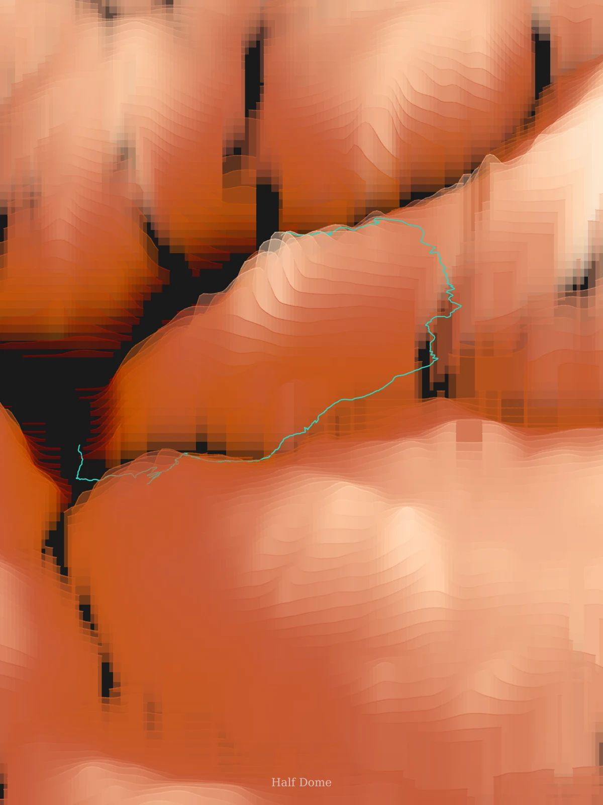
How to turn a GPX route into a trail poster
Follow the Half Dome example from GPX upload to Strata artwork, with real screenshots, exact settings, and PNG, PDF and SVG printing advice.
Read the guide →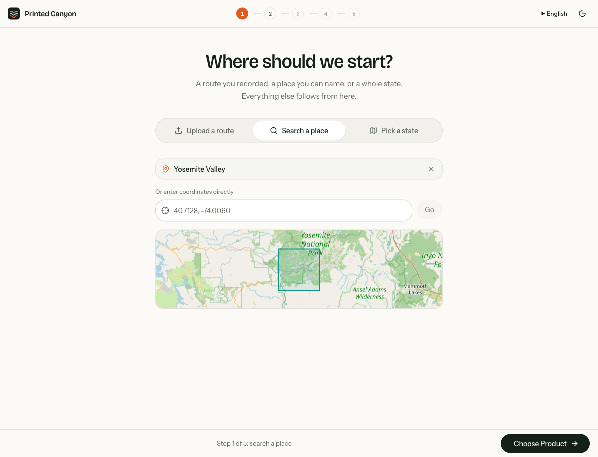
02 / 5 minute read
Create map art without a GPX file
Make map art from a place, a country, a US state or a selected map area. Follow place search, the country and state picker and Ridgeline clipping step by step.
Read the guide →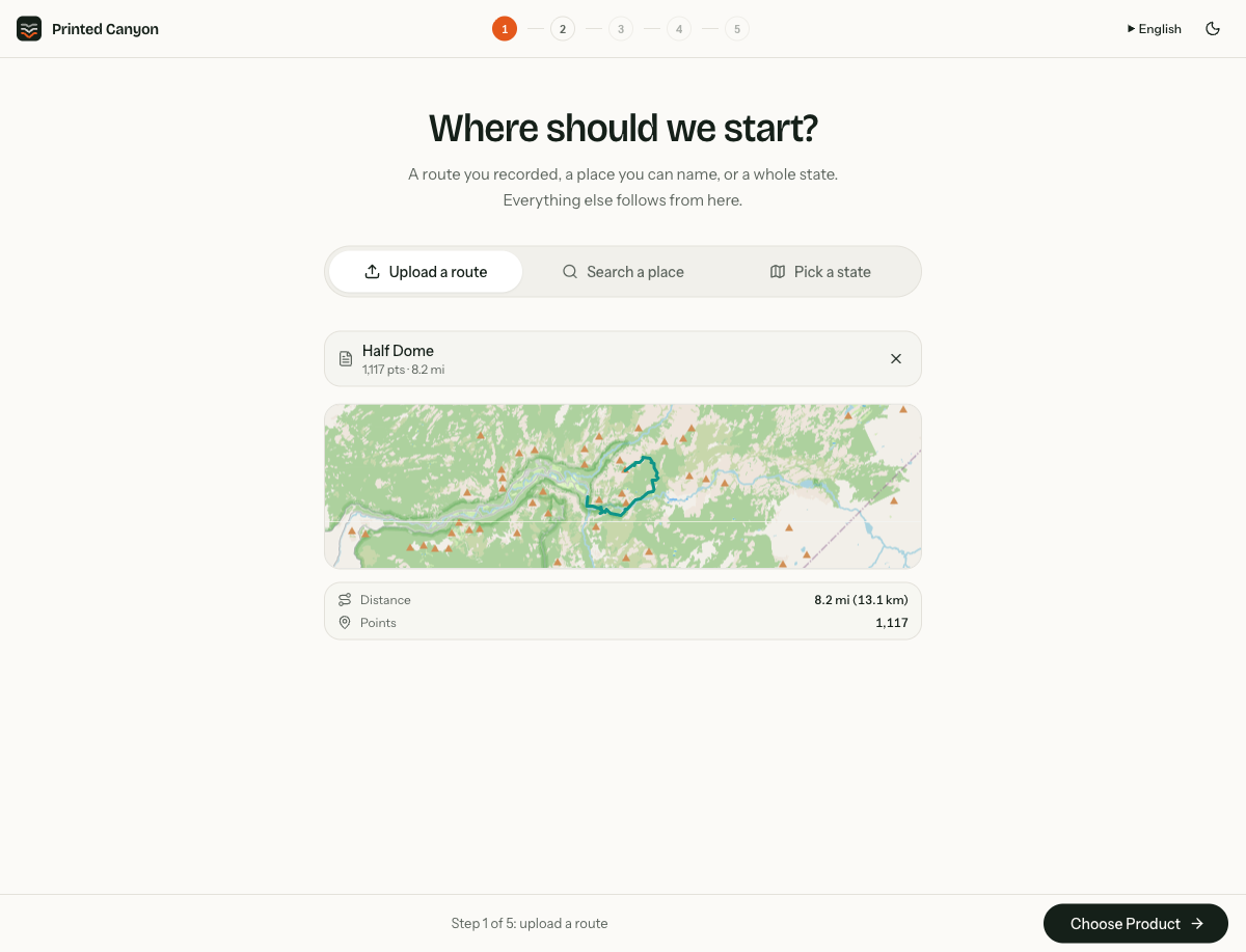
03 / 4 minute read
How to find and upload GPX files
Find a GPX route from an activity service, export the right file, upload it to Printed Canyon and check the route before making your poster.
Read the guide →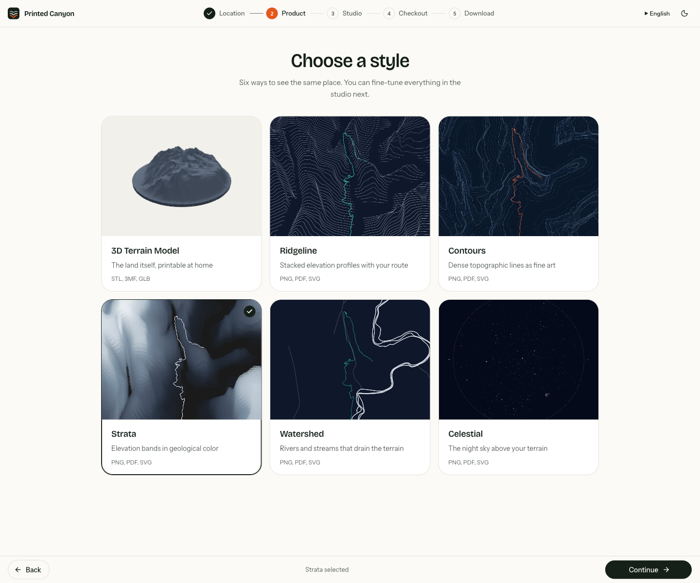
04 / 5 minute read
Free Map2Model alternative: terrain STL
Create 3D terrain and city maps in your browser. Download STL or 3MF files free, add GPX routes, and compare Printed Canyon with other Map2Model alternatives.
Read the guide →