3D printed mountains, from Everest to Mount Fuji.
Turn a famous peak into a 3D-printable terrain model. Each mountain below opens in the creator with its map area set; choose a model size and download STL or 3MF.
Pay what you want. Digital files. No account.
Famous mountains, ready to print
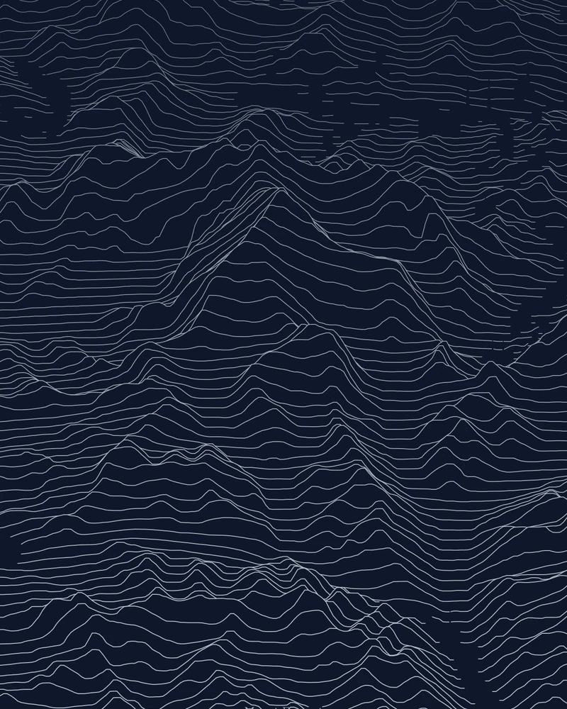
Mount Everest
The summit pyramid of the world's highest mountain, drawn as stacked elevation profiles.
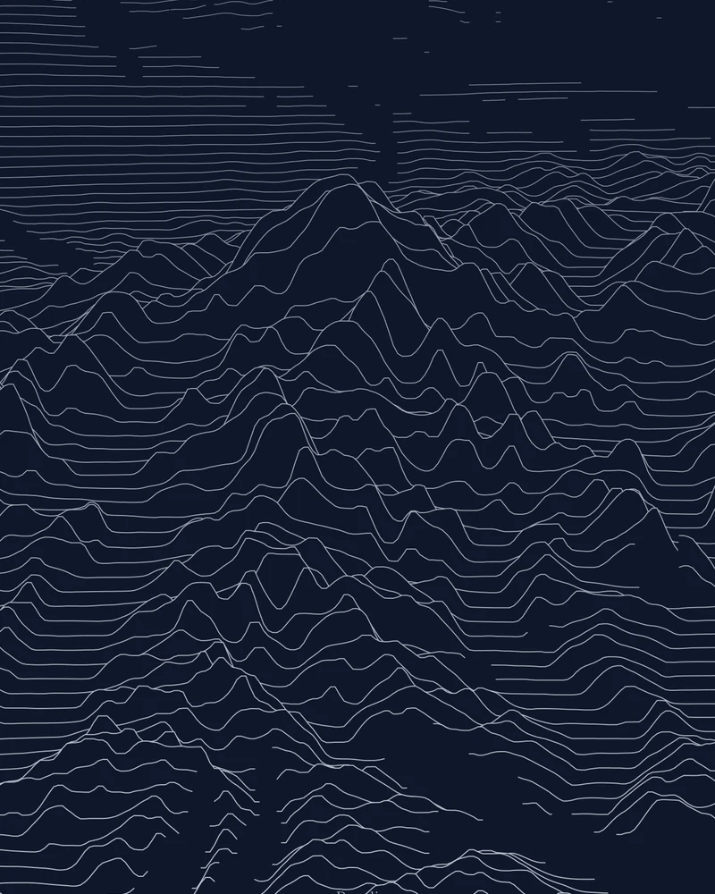
Denali
The massif rising from its base to 20,310 feet, drawn as stacked elevation profiles.
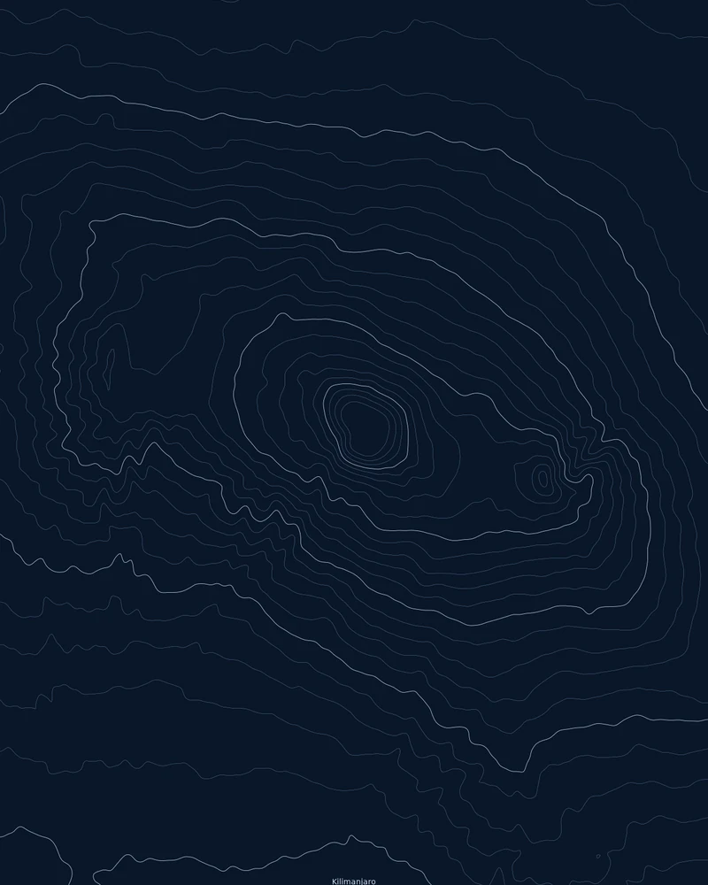
Kilimanjaro
Kibo, Mawenzi and the Shira side of the massif, traced as contour lines.
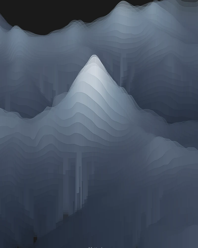
Matterhorn
The peak above Zermatt and Breuil-Cervinia, drawn from the Italian side as layered elevation bands.
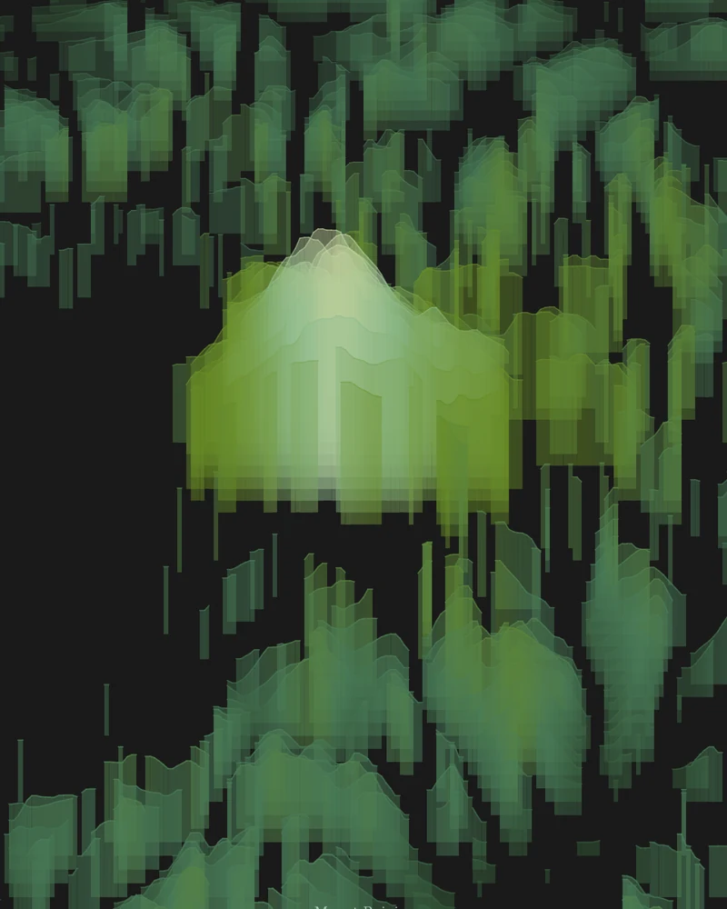
Mount Rainier
The volcano and its glaciers, drawn as layered elevation bands.
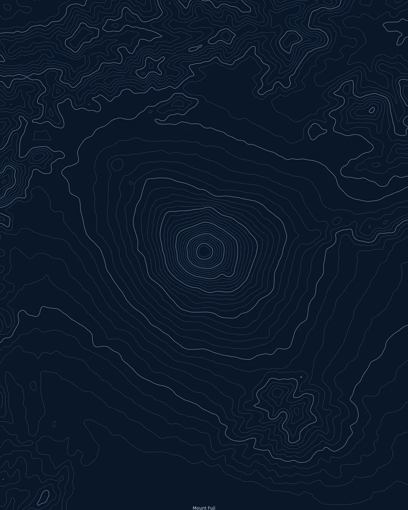
Mount Fuji
Japan's highest mountain, drawn as nearly concentric rings around its summit.
Printing a mountain terrain model
Mountains are the easiest terrain to print well: the relief is tall, so the shape reads even on a small model. In the model studio, choose a base shape and Model size, then use Elevation to set how tall the peaks stand before you generate the files.
The model is the ground surface from public elevation data: USGS 3DEP in the United States where available, and Copernicus GLO-30 elsewhere. Glaciers and snowfields are part of the surface, and summit heights follow the elevation data rather than the surveyed figure.
For a large area such as a whole range or a state, see 3D printed topographic maps. To add your own climb or trek, upload a GPX file and use GPX to STL.
3D printed mountain questions
Can I download a mountain STL file for free?
Yes. Printed Canyon is pay what you want, including $0, and you do not need an account. Each model downloads as STL and 3MF for your slicer, plus a GLB for viewing.
Is the mountain model to scale?
The map area is scaled to your model size, and the Elevation setting controls how tall the relief stands. Raise it to make gentle peaks read on the print, or lower it for a flatter, truer look.
Can I print a mountain that is not listed here?
Yes. Search any peak, range or park, or enter coordinates, and frame the area you want. Detail depends on the elevation data available and on how large the area is.
Do you sell printed mountains?
No. You download digital files and print them yourself or through a 3D-printing service. Nothing is shipped.