Places
Famous landscapes, ready to print.
Each place below opens in the creator with a style already chosen. Make it a poster in PNG, PDF or SVG, or a 3D-printable terrain model in STL or 3MF. Pay what you want, including free.
Countries and territories
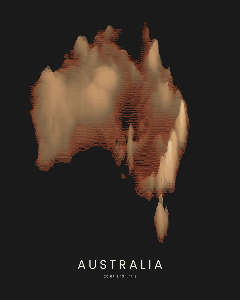
Australia topographic map, a continent in layered color.
The mainland and Tasmania, from the Great Dividing Range to the desert interior, drawn as stacked elevation bands.
See Australia →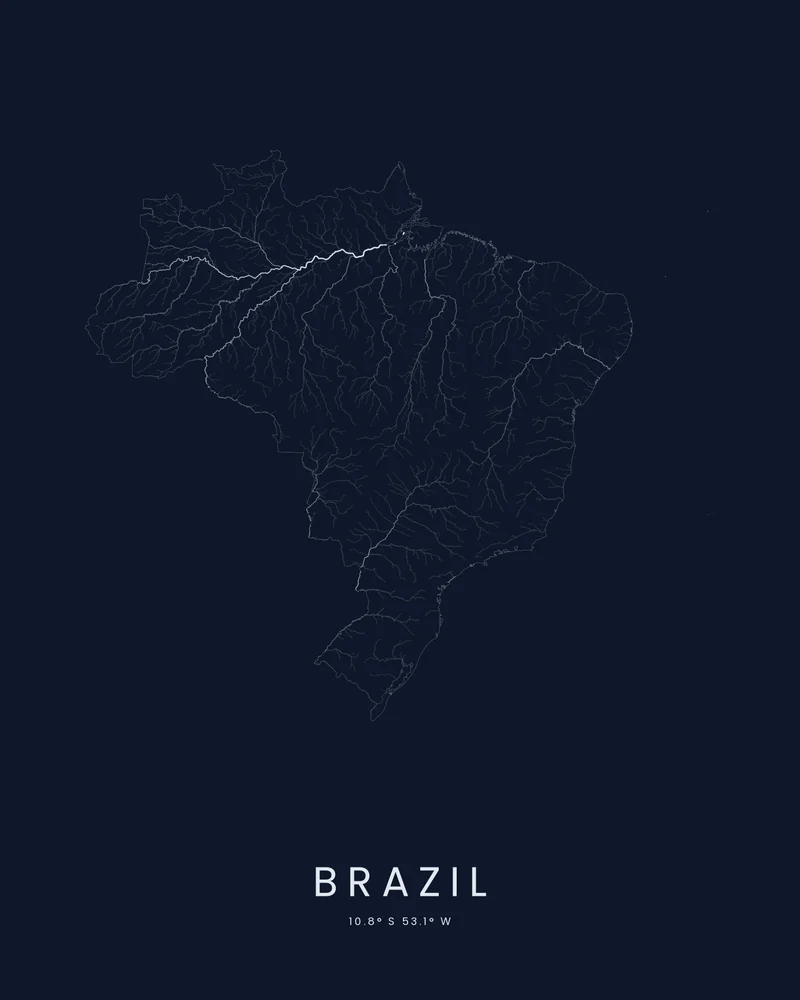
Brazil river map, the Amazon and every river that feeds it.
The Amazon basin, the São Francisco and the rivers of the Paraná system, drawn inside Brazil's outline.
See Brazil →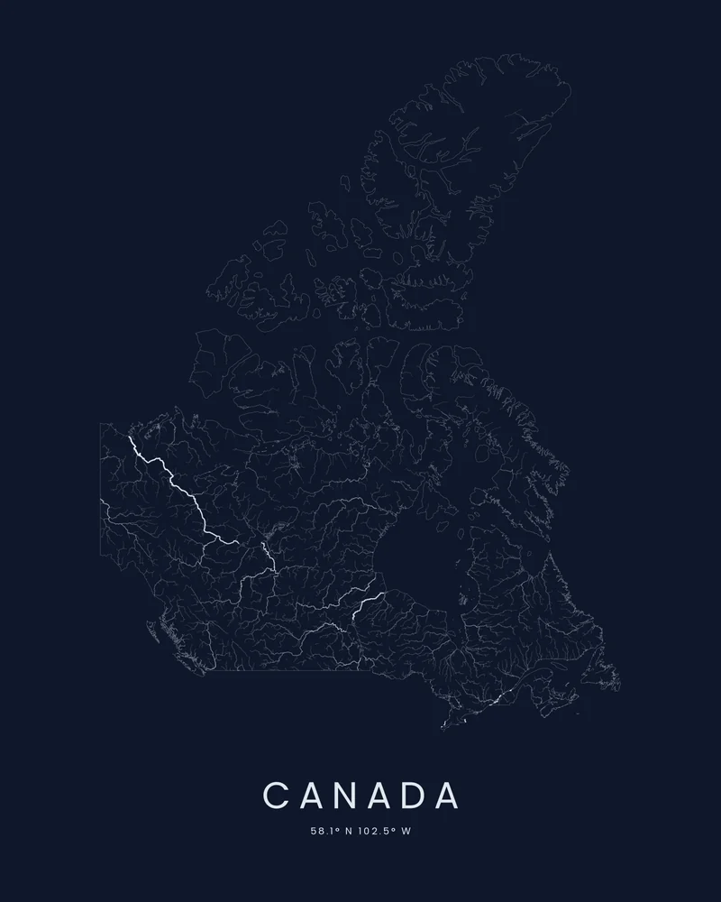
Canada river map, a continent of rivers and lakes.
The Mackenzie, the St. Lawrence, the rivers that drain to Hudson Bay and the Arctic islands, drawn inside Canada's outline.
See Canada →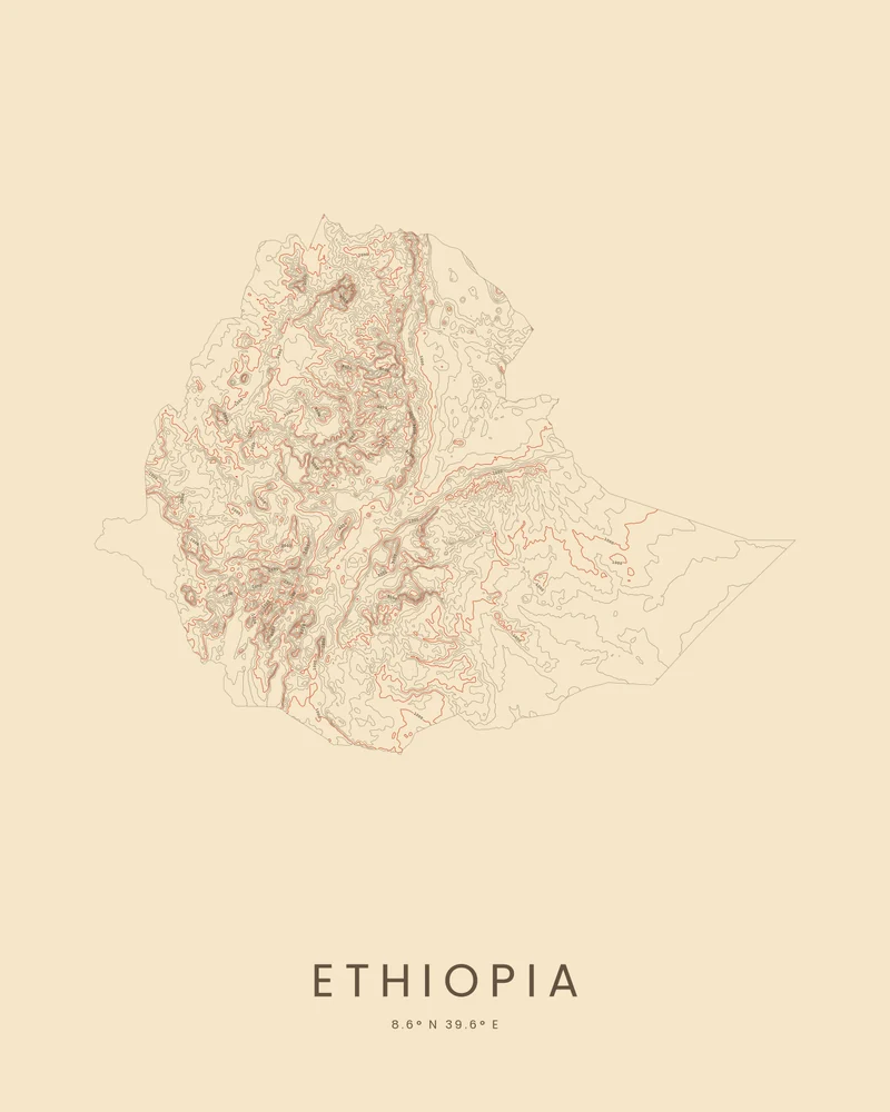
Ethiopia topographic map, the highlands of the Horn of Africa.
The Ethiopian Highlands, split by the Great Rift Valley, traced in contour lines inside the country's border.
See Ethiopia →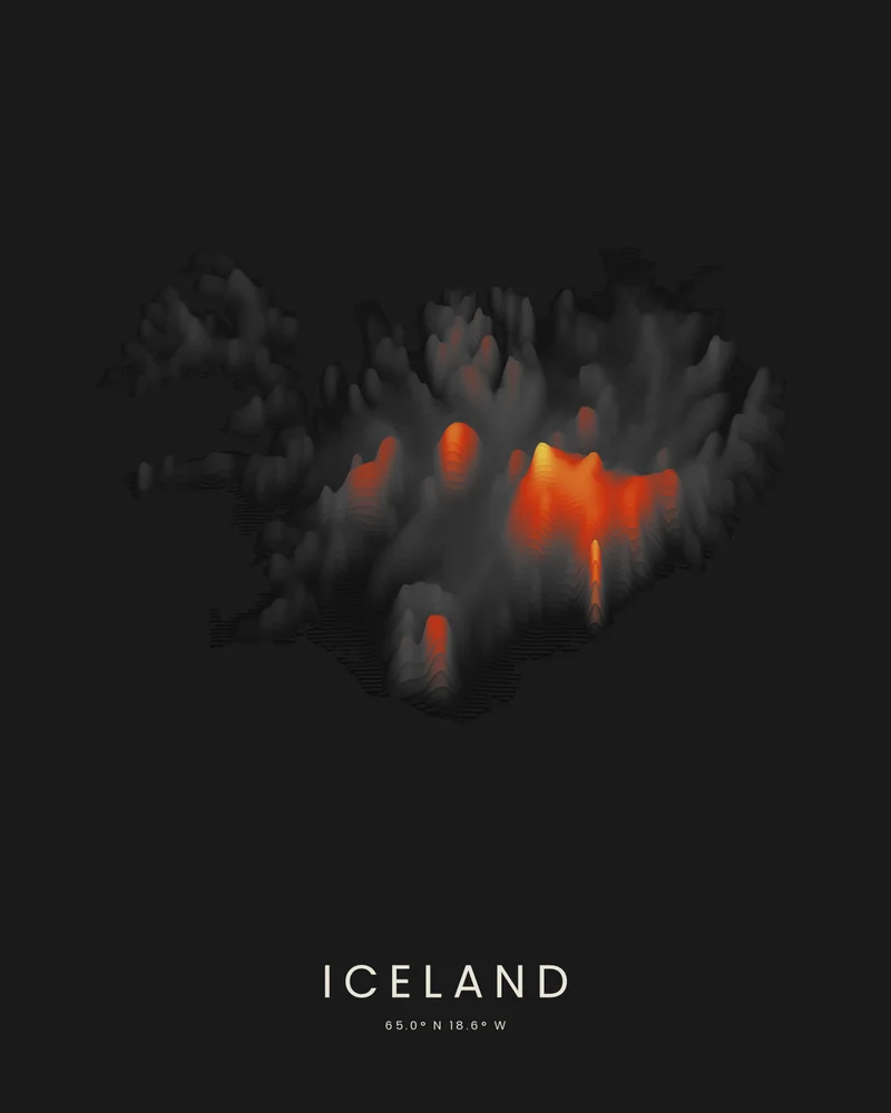
Iceland topographic map, fire and ice in layered color.
Volcanoes, ice caps and fjords, drawn as stacked elevation bands inside the island's outline.
See Iceland →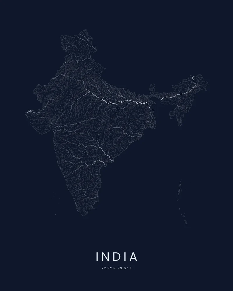
India river map, the Ganges, the Indus and their tributaries.
Himalayan rivers across the northern plains and the rivers of the Deccan, drawn inside India's outline.
See India →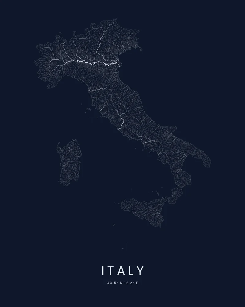
Italy river map, every river from the Alps to Sicily.
The Po, the Tiber, the Arno and thousands of smaller streams, drawn inside Italy's outline with its islands.
See Italy →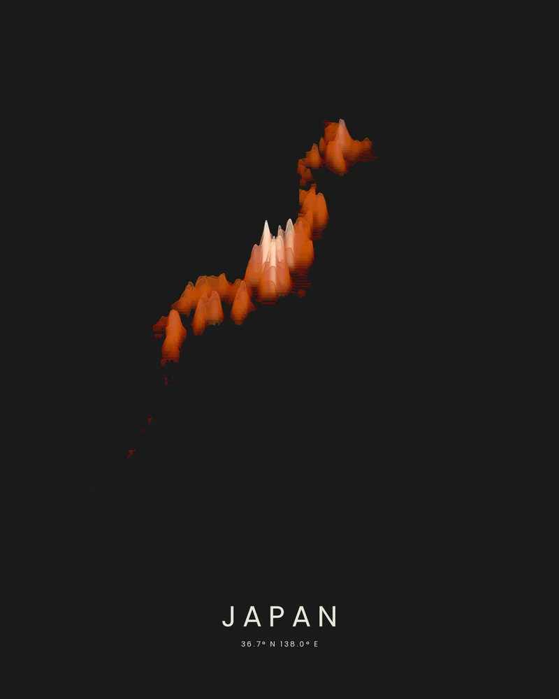
Japan topographic map, an island arc in layered stone.
Hokkaido, Honshu, Shikoku, Kyushu and the island chains to the south, cut to the country's outline and drawn as stacked elevation bands.
See Japan →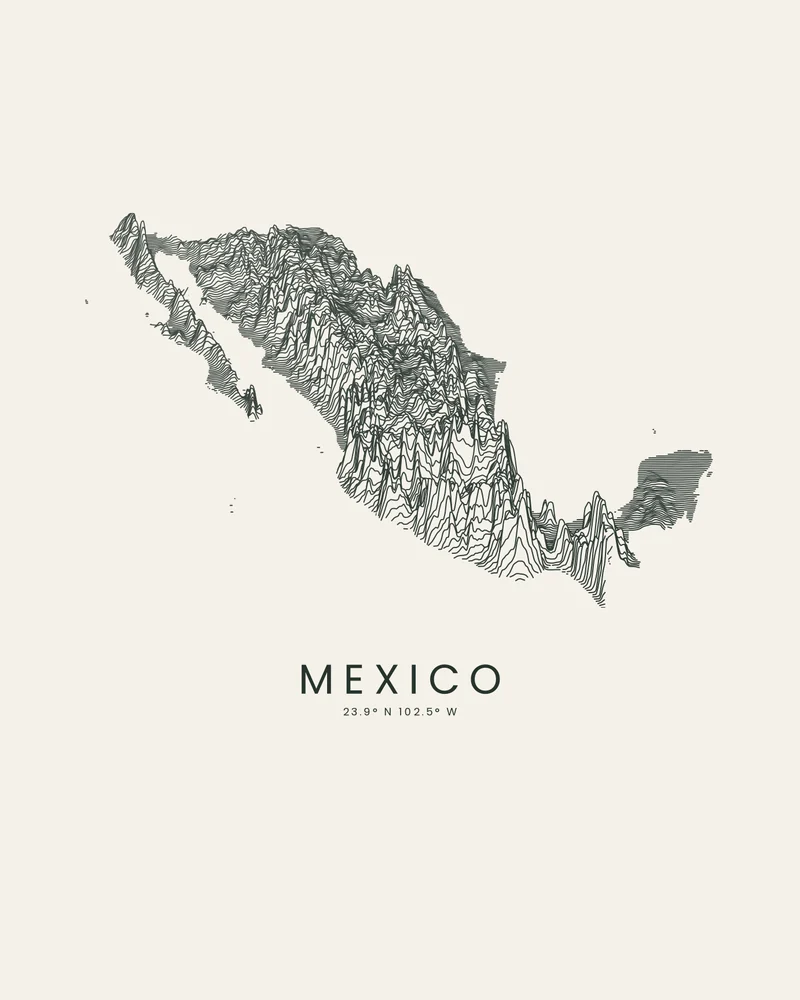
Mexico relief map, the Sierra Madre ridge by ridge.
Baja California, the Sierra Madre, the volcanic belt and the Yucatán, drawn as stacked elevation profiles.
See Mexico →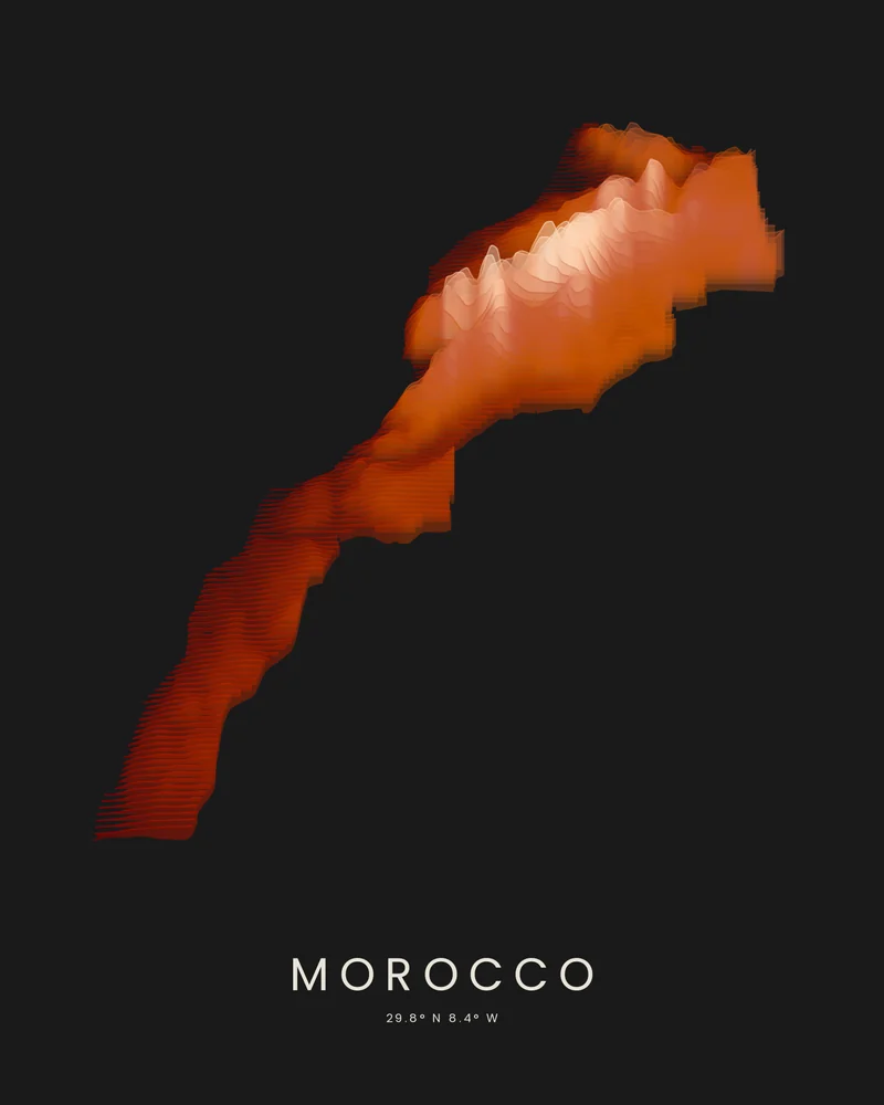
Morocco topographic map, the Atlas Mountains in layered color.
The Rif, the Middle Atlas, the High Atlas and the Anti-Atlas, drawn as stacked elevation bands.
See Morocco →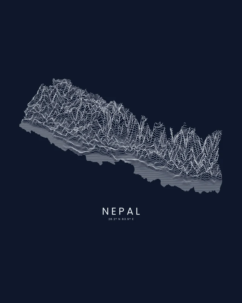
Nepal relief map, from the plains to the roof of the world.
The Terai, the middle hills and the Himalaya, drawn as stacked elevation profiles inside Nepal's border.
See Nepal →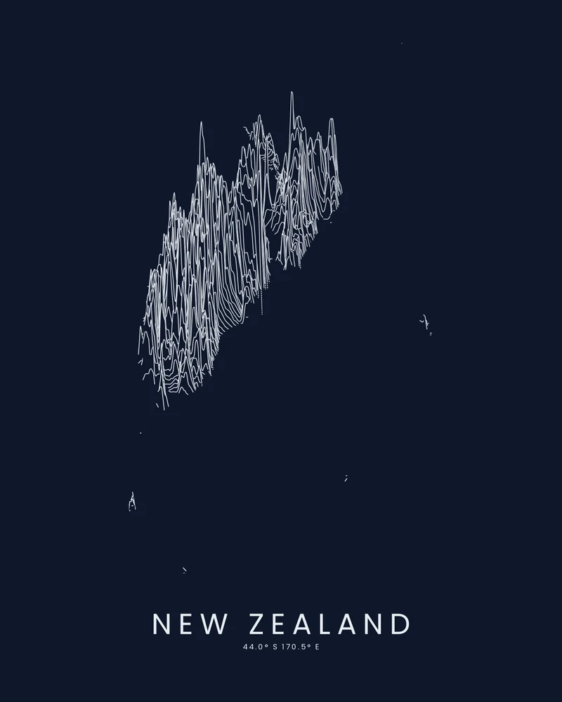
New Zealand relief map, the Southern Alps ridge by ridge.
The North Island, the South Island and the outlying islands, drawn as stacked elevation profiles.
See New Zealand →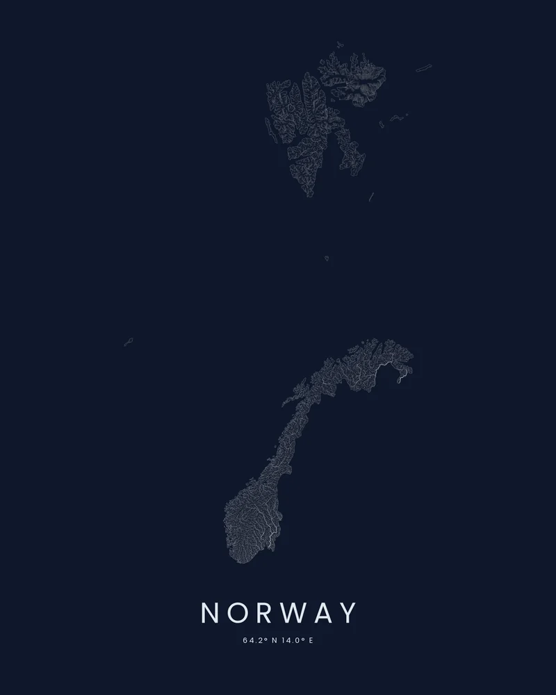
Norway river map, the rivers that carved the fjords.
Short, steep rivers on the fjord coast and the long valleys of the east, drawn inside Norway's outline.
See Norway →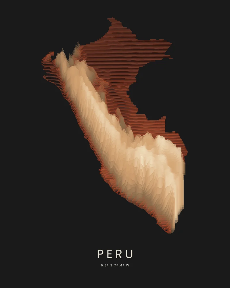
Peru topographic map, the Andes between desert and rainforest.
The coastal desert, the Andes and the Amazon lowlands, drawn as stacked elevation bands inside Peru's border.
See Peru →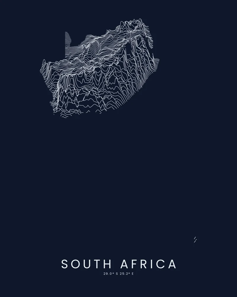
South Africa relief map, the Cape and the Drakensberg ridge by ridge.
The high interior plateau, the Great Escarpment and the coastal ranges, drawn as stacked elevation profiles.
See South Africa →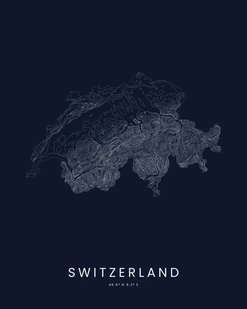
Switzerland topographic map, the Alps as a survey sheet.
The Jura, the Plateau and the Alps, traced in contour lines inside the Swiss border.
See Switzerland →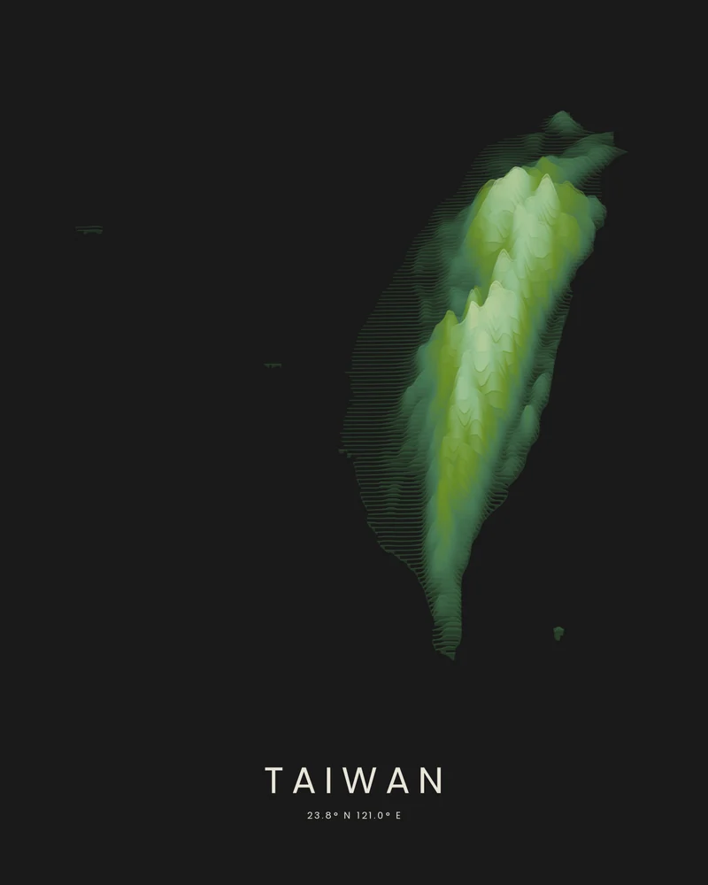
Taiwan topographic map, a mountain island in layered color.
The Central Mountain Range and the western plains, drawn as stacked elevation bands.
See Taiwan →Kona course
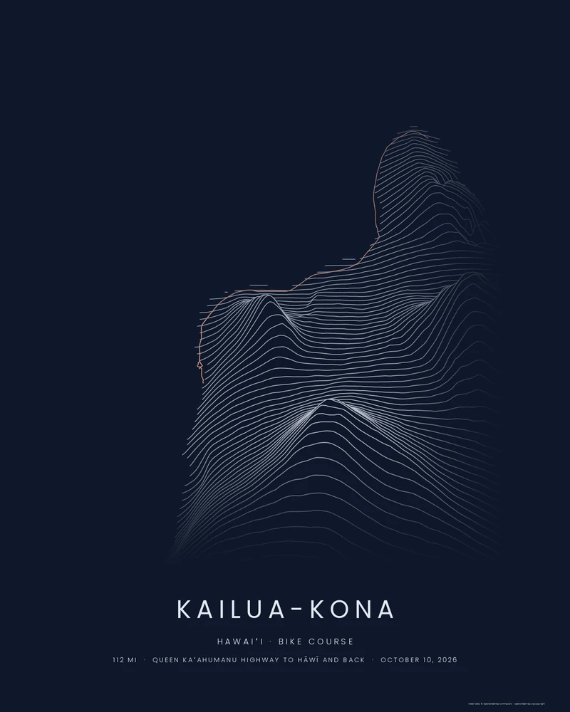
The Kona bike course, 112 miles through the lava to Hāwī.
Palani Road, the Kuakini loop, then the Queen K north across the Kohala lava fields to the Hāwī turnaround and home, set into the island's elevation lines.
See Kona Bike Course →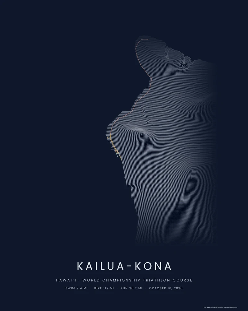
The whole Kona course, swim, bike and run, on one print.
The whole world championship triathlon course in Kailua-Kona, swim to finish line, drawn over the lava slopes of Hualālai and Kohala. Put your name and times under it.
See Kona Course →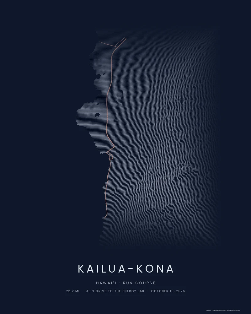
The Kona run course, 26.2 miles to the Energy Lab and back.
South along Aliʻi Drive, up Palani Road, out the Queen K to the Natural Energy Laboratory and back down to the finish line on Aliʻi Drive.
See Kona Run Course →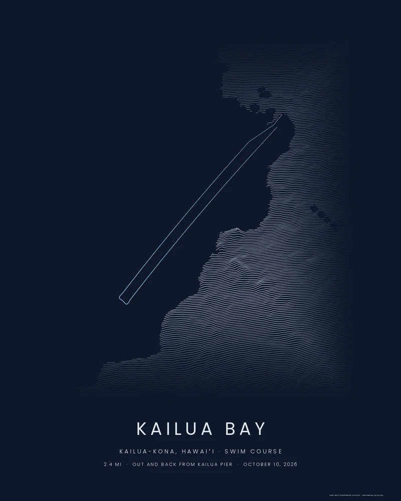
The Kona swim course, 2.4 miles out and back in Kailua Bay.
From Kailua Pier past the Royal Kona Resort to the turnaround boat and back, with the lava coast of Kailua-Kona in ridgelines beside it.
See Kona Swim Course →NYC Marathon
Iconic trails
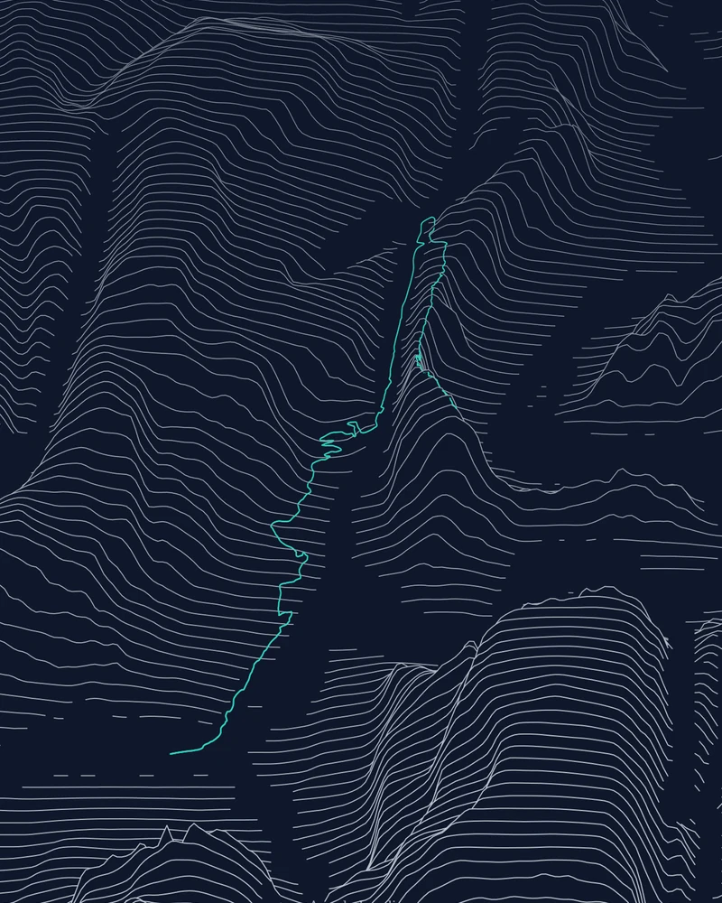
Angels Landing trail map, route included.
The Grotto through Scout Lookout to the summit, on Zion Canyon terrain. The park lists 5.4 miles (8.7 km) round trip.
See Angels Landing →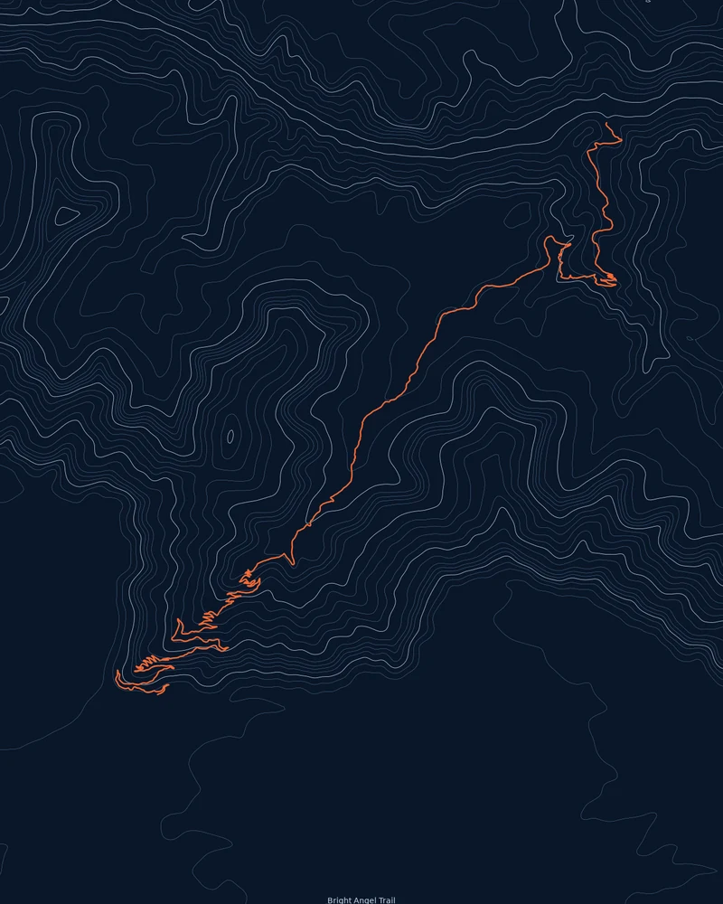
Bright Angel Trail map, rim to river.
South Rim trailhead to River Resthouse, drawn through the canyon's contour lines. The park lists 7.7 miles (12.4 km) one way.
See Bright Angel Trail →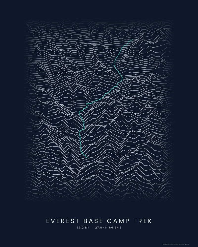
Everest Base Camp trek map, up the Khumbu to the foot of Everest.
Lukla, Namche Bazaar, Tengboche and Gorak Shep to Base Camp, highlighted on stacked elevation profiles.
See Everest Base Camp →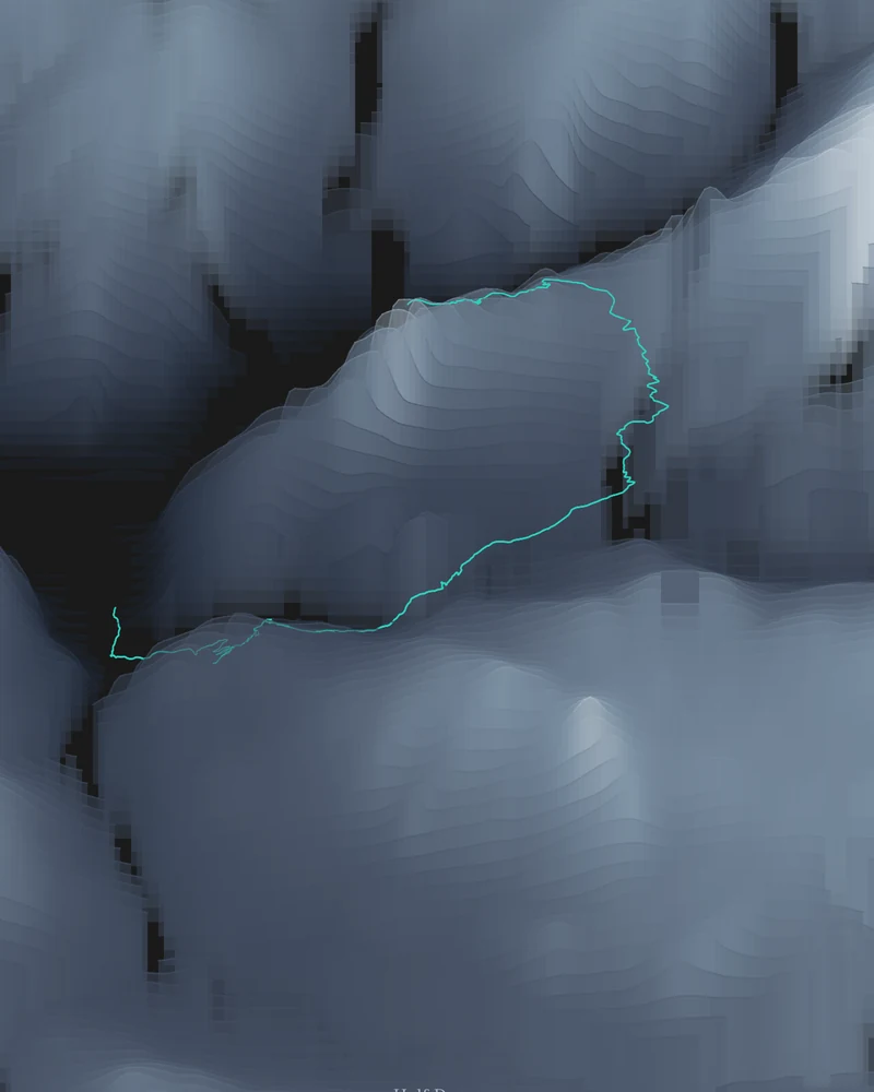
Half Dome trail map, from Happy Isles to the summit.
The John Muir Trail and Half Dome Trail through Yosemite's granite, in geological color. The park lists 14 to 16 miles (23 to 26 km) round trip.
See Half Dome →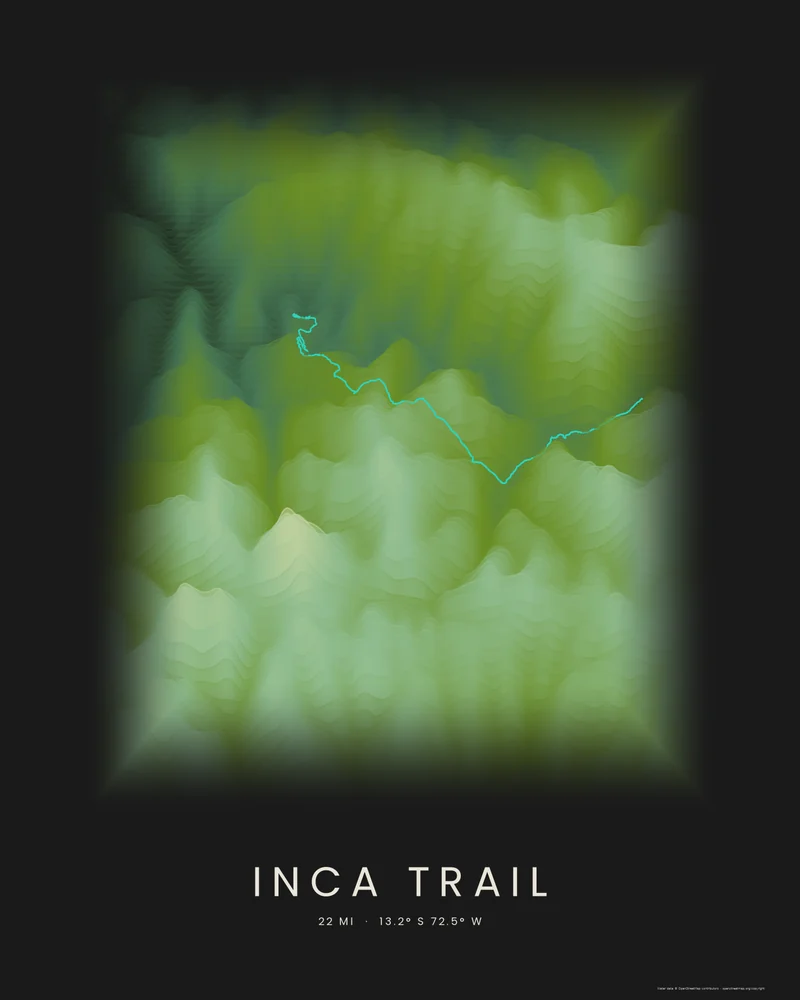
Inca Trail map, Dead Woman's Pass to Machu Picchu.
The classic four-day route from the Urubamba valley over the passes to the Sun Gate, highlighted on stacked elevation bands.
See Inca Trail →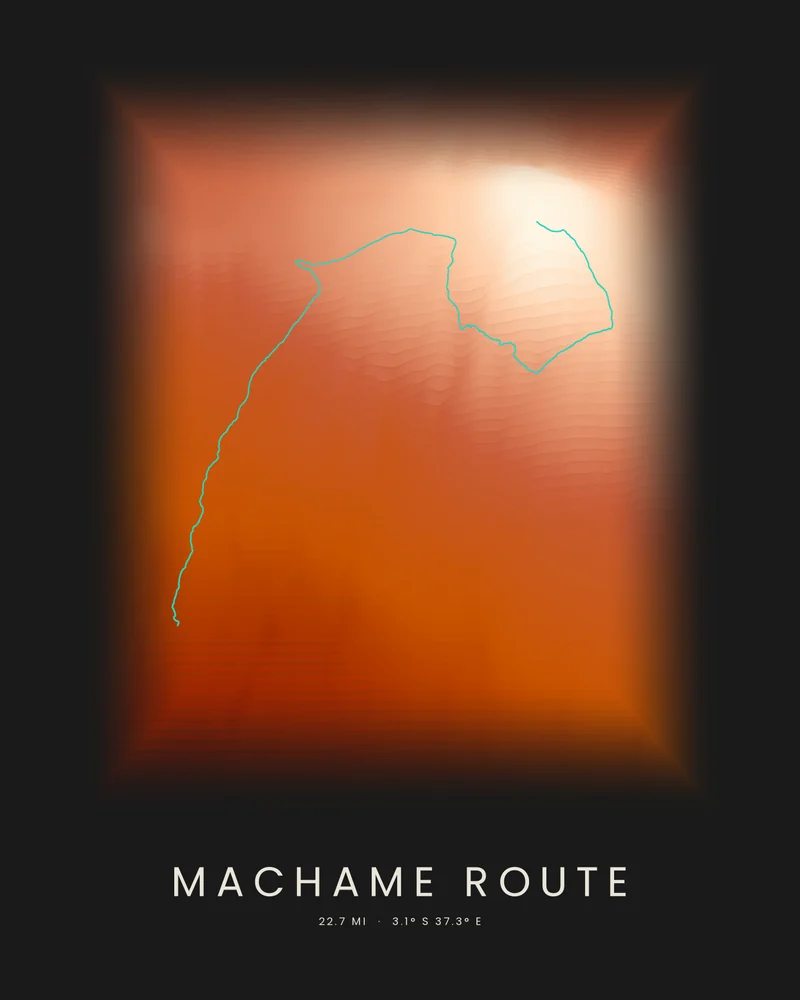
Machame Route map, from the rainforest to Kilimanjaro's summit.
Machame Gate, the Shira Plateau, the Barranco Wall and Uhuru Peak, highlighted on stacked elevation bands.
See Machame Route →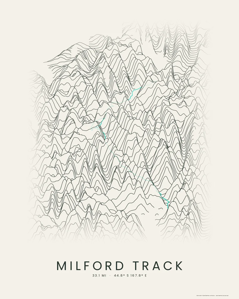
Milford Track map, over Mackinnon Pass to Milford Sound.
Glade Wharf, the Clinton valley, Mackinnon Pass and the Arthur valley to Sandfly Point, highlighted on stacked elevation profiles.
See Milford Track →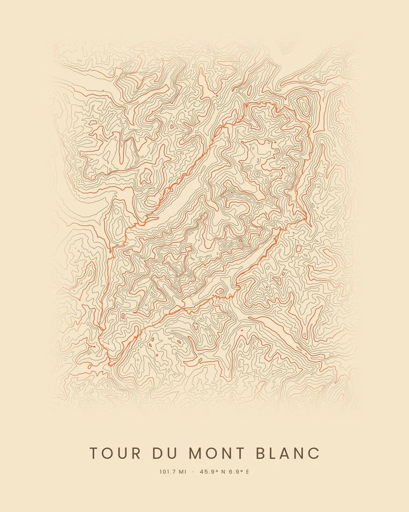
Tour du Mont Blanc map, route included.
The classic loop around the Mont Blanc massif through France, Italy and Switzerland, highlighted on contour lines.
See Tour du Mont Blanc →Iconic locations
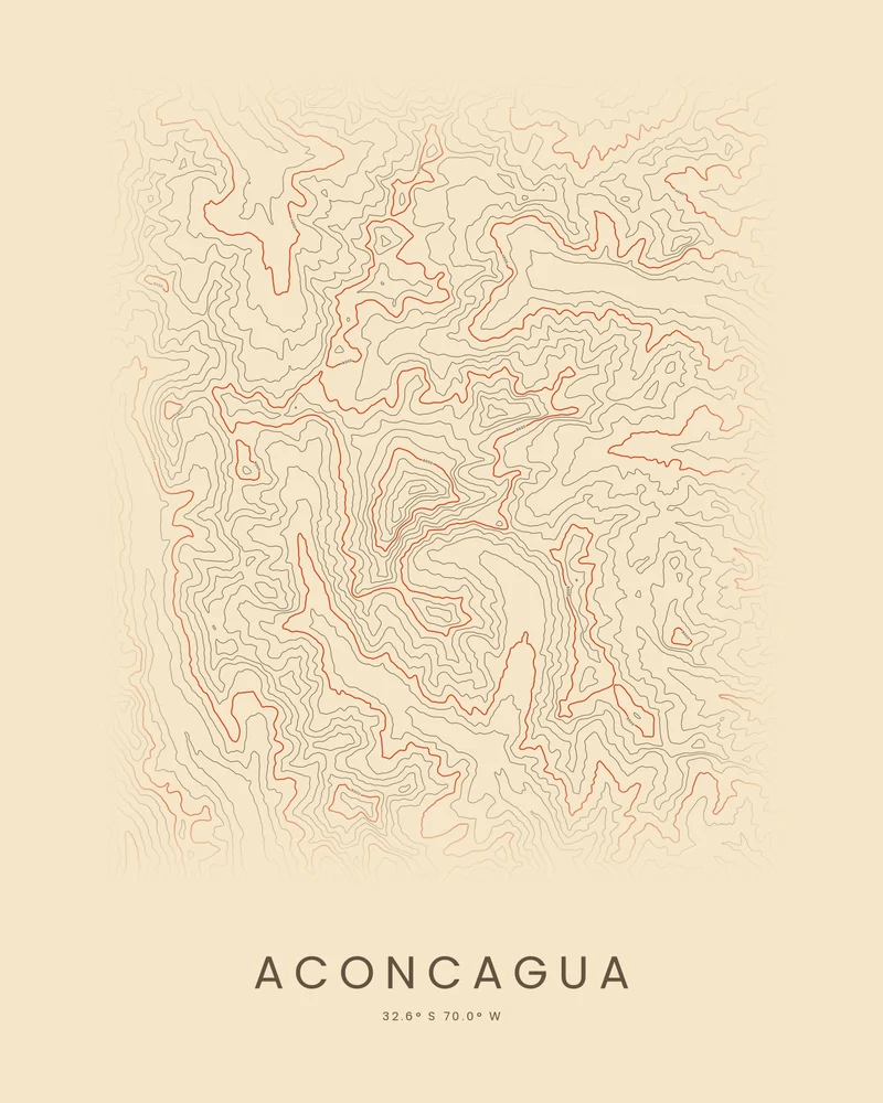
Aconcagua topographic map, the highest summit outside Asia.
The highest peak of the Andes and its glaciers in Argentina's Mendoza Province, traced in contour lines.
See Aconcagua →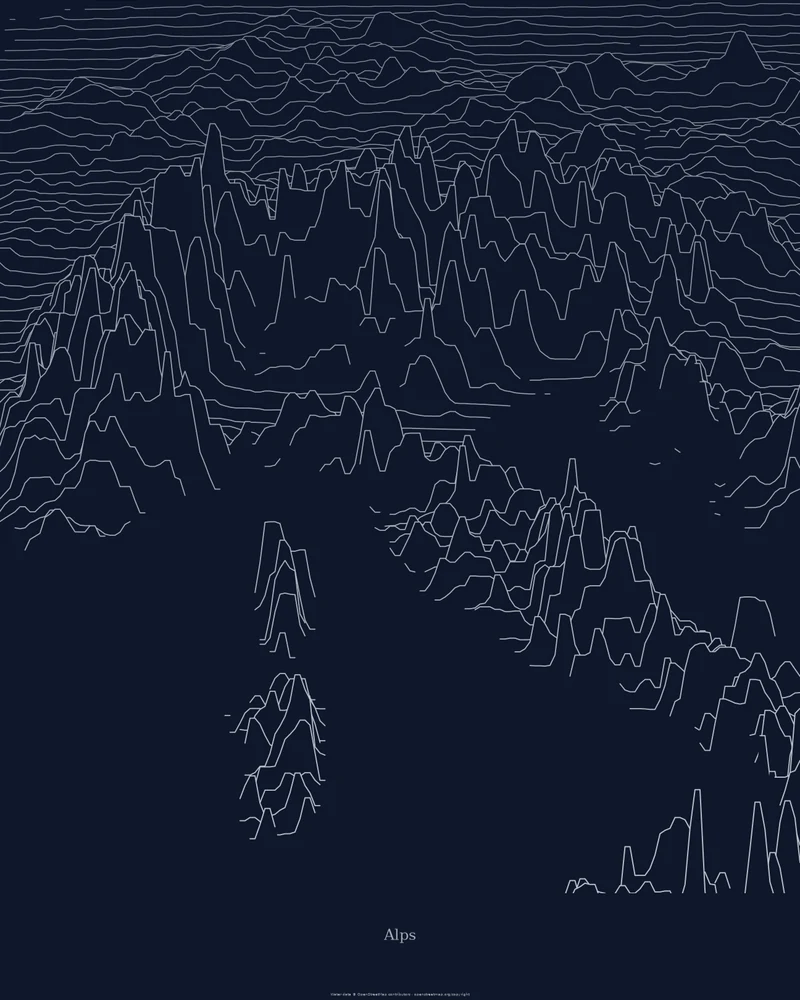
Alps relief map, the whole arc in one frame.
Europe's great mountain range, drawn as stacked elevation profiles from the plains to Mont Blanc.
See Alps →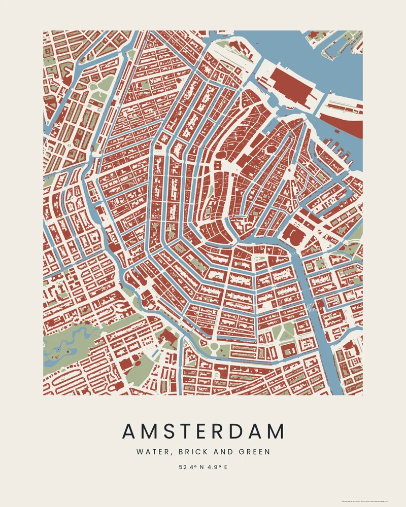
Amsterdam city map, the canal ring in water and brick.
The Singel, Herengracht, Keizersgracht and Prinsengracht curving around the old center, with every building in brick red.
See Amsterdam →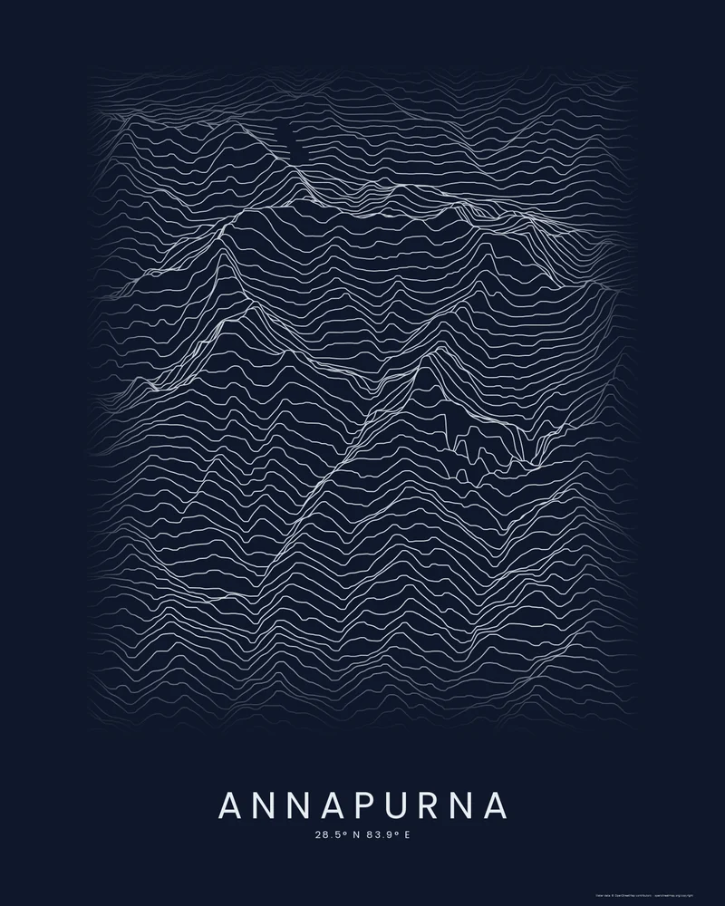
Annapurna poster, the massif around its sanctuary.
Annapurna I, Annapurna South, Machapuchare and the glacial basin of the Sanctuary, drawn as stacked elevation profiles.
See Annapurna →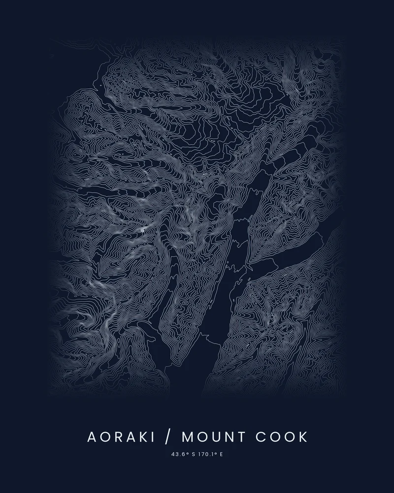
Aoraki / Mount Cook topographic map, New Zealand's highest peak in contour.
Aoraki, the Tasman and Hooker glaciers and the main divide of the Southern Alps, traced in contour lines.
See Aoraki / Mount Cook →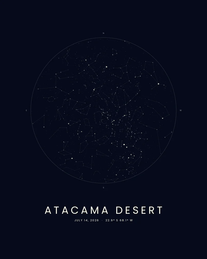
Atacama Desert star map, the night sky over the driest desert.
The stars over San Pedro de Atacama at midnight near the July 2026 new moon, charted as a Celestial poster.
See Atacama Desert →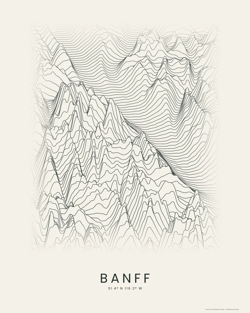
Banff poster, Lake Louise and the Canadian Rockies in ridgelines.
Lake Louise, Moraine Lake, the Valley of the Ten Peaks and Mount Temple, drawn as stacked elevation profiles.
See Banff →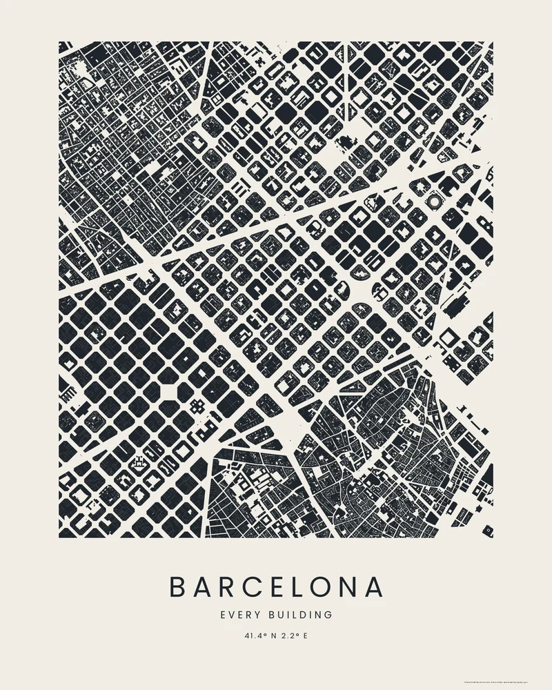
Barcelona city map, the Eixample block by block.
Ildefons Cerdà's grid of chamfered blocks between Passeig de Gràcia and the Sagrada Família, every building drawn in ink.
See Barcelona →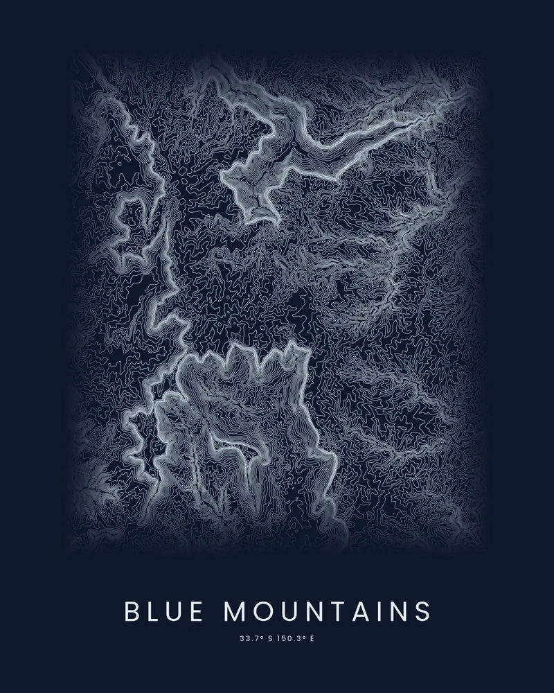
Blue Mountains topographic map, sandstone escarpments in contour.
The Jamison and Grose valleys, the Three Sisters and the plateau around Katoomba, traced in contour lines.
See Blue Mountains →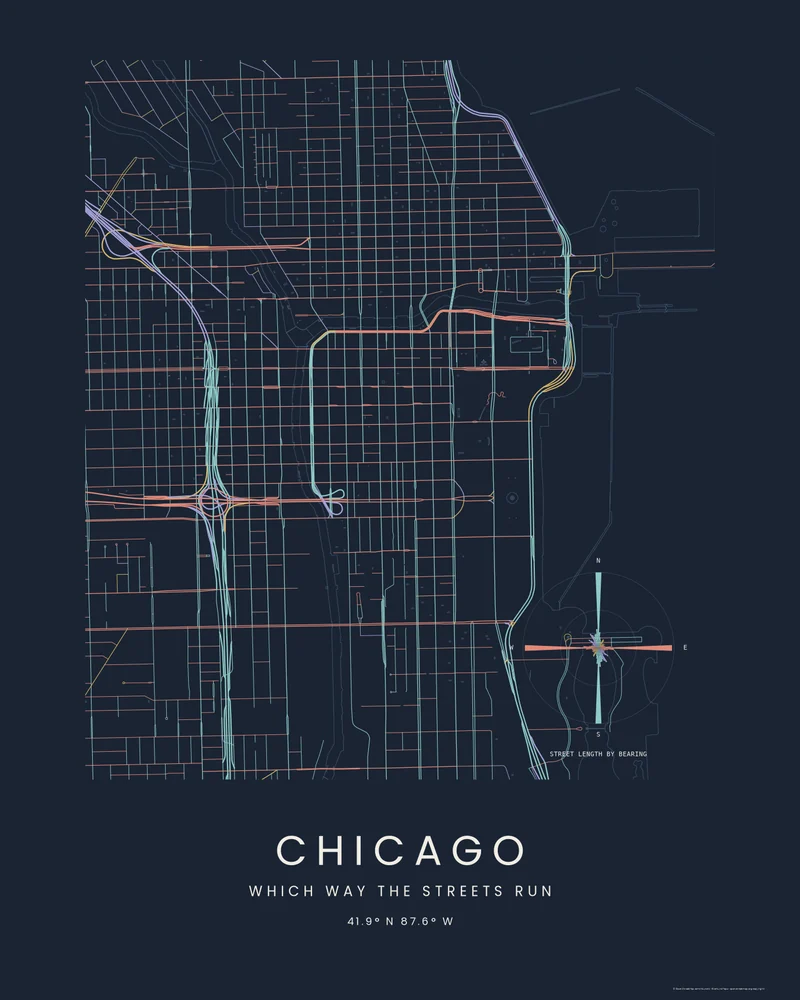
Chicago street map, the Loop by street bearing.
Downtown Chicago between the river and Lake Michigan, every street colored by its compass bearing.
See Chicago →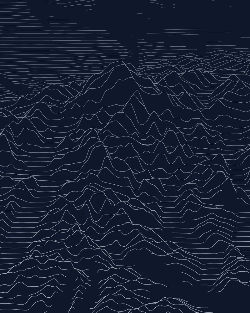
Denali topographic map, North America's highest peak in ridgelines.
The massif rising from its base to 20,310 feet, drawn as stacked elevation profiles.
See Denali →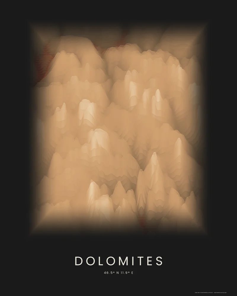
Dolomites poster, pale towers in layered color.
The Sella, the Sassolungo, the Marmolada and the peaks around Cortina d'Ampezzo, drawn as stacked elevation bands.
See Dolomites →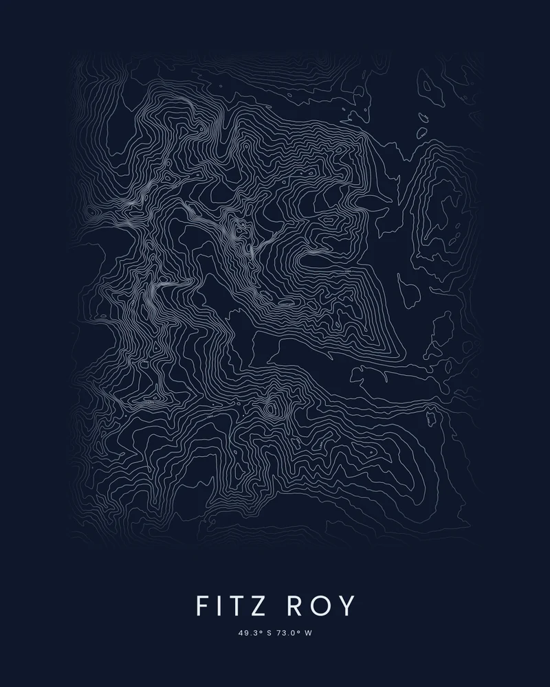
Fitz Roy topographic map, Patagonia's sharpest skyline in contour.
Monte Fitz Roy, Cerro Torre and their glaciers, traced in contour lines.
See Fitz Roy →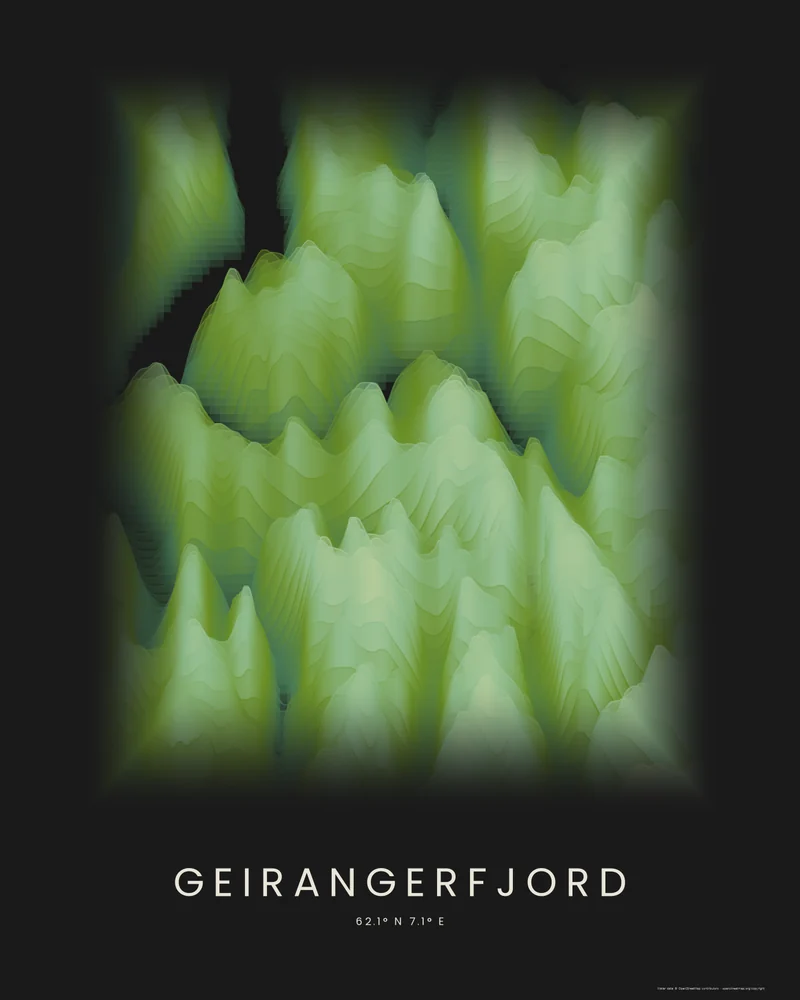
Geirangerfjord poster, a fjord cut deep into the mountains.
The fjord, the village of Geiranger and the mountains above it, drawn as stacked elevation bands.
See Geirangerfjord →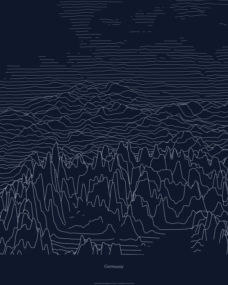
Germany relief map, from the coast to the Alps.
The northern lowlands, central uplands and Bavarian Alps, drawn as stacked elevation profiles.
See Germany →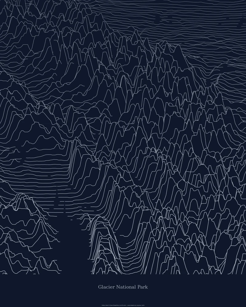
Glacier National Park topographic map, peak by peak.
The Montana park's glacier-carved ranges drawn as stacked elevation profiles.
See Glacier National Park →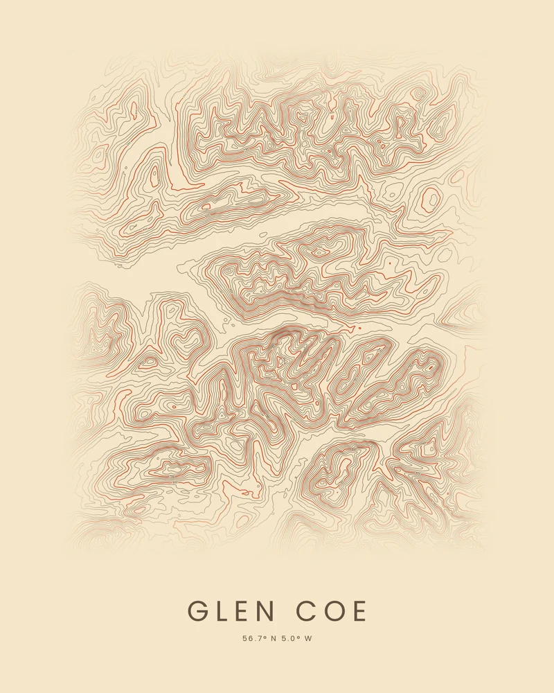
Glen Coe topographic map, the Highlands' most famous glen.
The glen, the Three Sisters, Bidean nam Bian and Buachaille Etive Mòr, traced in contour lines.
See Glen Coe →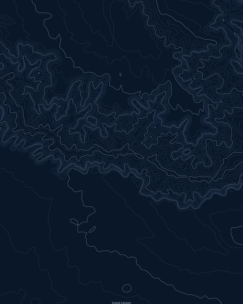
Grand Canyon topographic map, a contour study of the walls.
Roughly 45 by 55 kilometers of canyon around the South Rim, drawn as topographic contour lines.
See Grand Canyon →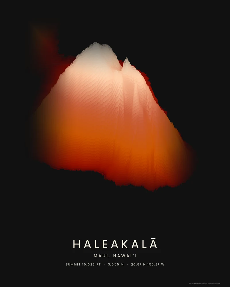
Haleakalā poster, East Maui in sandstone bands.
The volcano that forms East Maui, rising from the sea to 10,023 feet in layered elevation bands.
See Haleakalā →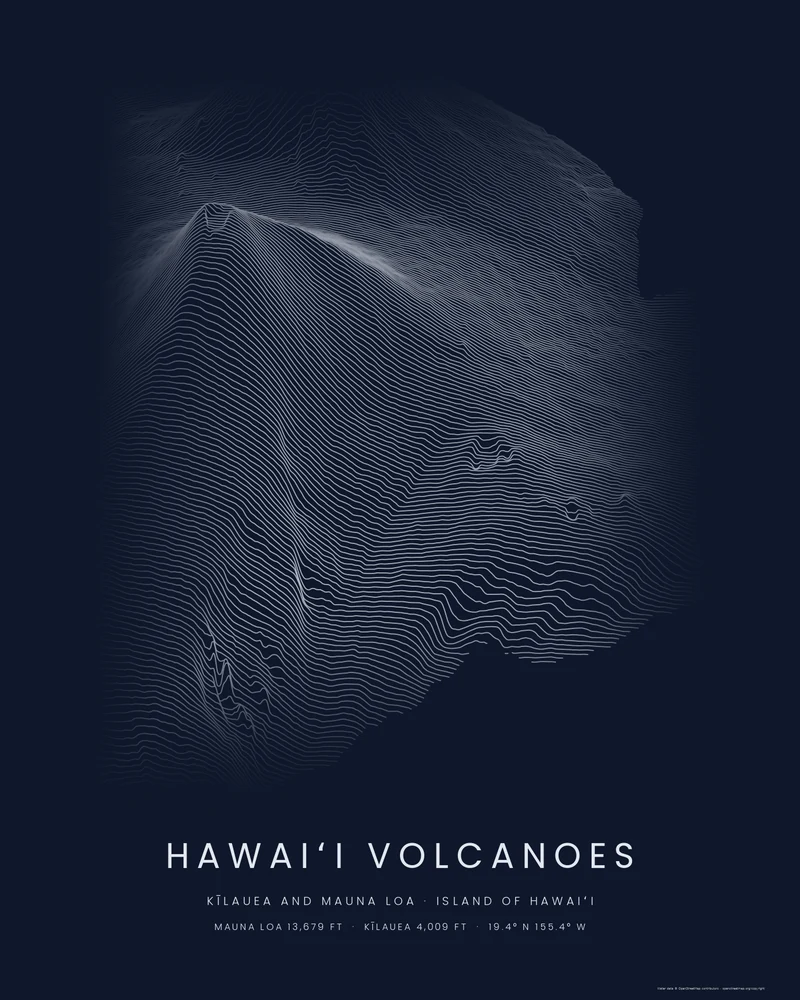
Hawaiʻi Volcanoes poster, Kīlauea and Mauna Loa in ridgelines.
Two of the most active volcanoes on Earth, drawn as stacked elevation profiles from the summit of Mauna Loa to the sea.
See Hawaiʻi Volcanoes →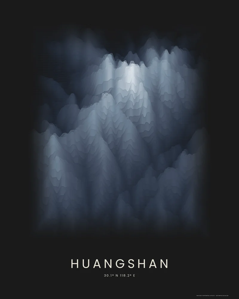
Huangshan poster, the Yellow Mountains in layered color.
The granite peaks of Huangshan around Lotus Peak, drawn as stacked elevation bands.
See Huangshan →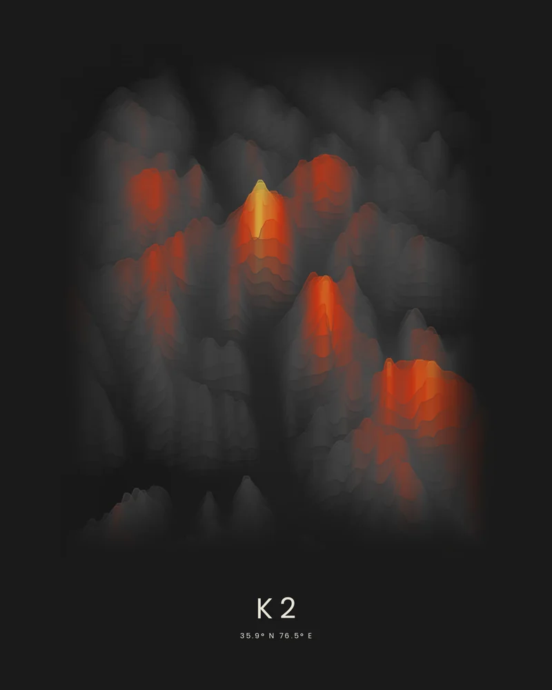
K2 3D model and topographic map, the Karakoram's savage mountain.
K2, Broad Peak and the glaciers at their feet, drawn as stacked elevation bands.
See K2 →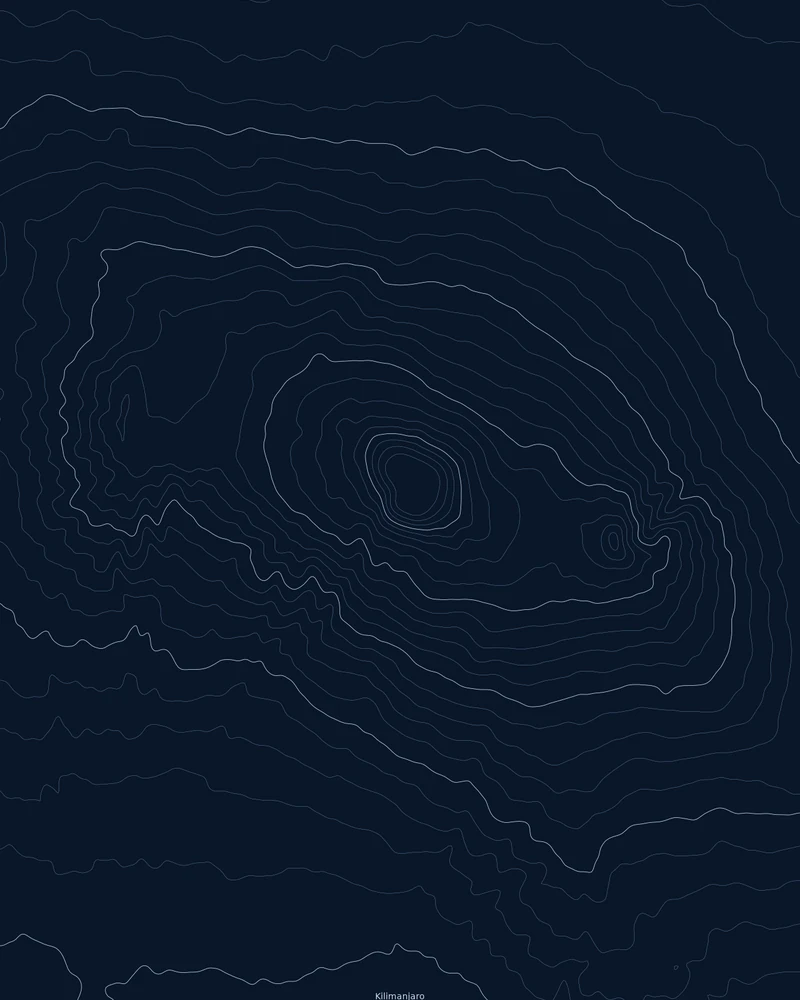
Kilimanjaro topographic map, Africa's highest peak in contour lines.
Kibo, Mawenzi and the Shira side of the massif, traced as contour lines.
See Kilimanjaro →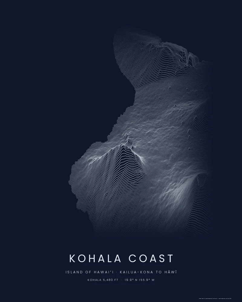
Kohala Coast map poster, from Kailua-Kona to Hāwī in ridgelines.
The leeward coast of the Island of Hawaiʻi, with Hualālai and the Kohala Mountains rising inland, drawn as stacked elevation profiles.
See Kohala Coast →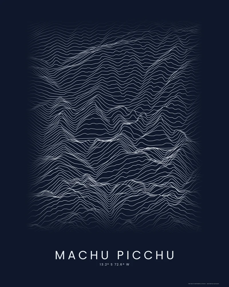
Machu Picchu poster, the Inca citadel among Andean peaks.
The citadel's ridge, Huayna Picchu and the gorge of the Urubamba River, drawn as stacked elevation profiles.
See Machu Picchu →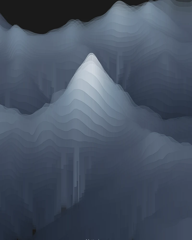
Matterhorn poster, a pyramid in shale-gray bands.
The peak above Zermatt and Breuil-Cervinia, drawn from the Italian side as layered elevation bands.
See Matterhorn →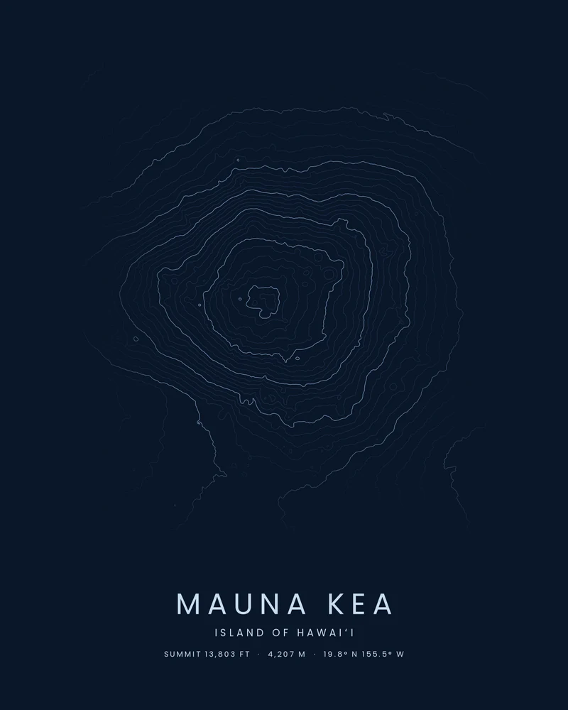
Mauna Kea topographic map, Hawaiʻi's highest summit in contour rings.
The summit and broad upper slopes of Mauna Kea, traced as contour lines.
See Mauna Kea →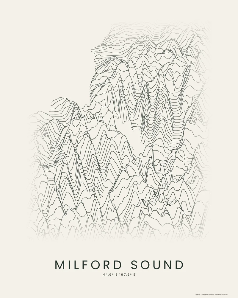
Milford Sound poster, a fiord walled by cliffs.
Piopiotahi, Mitre Peak and the mountains of northern Fiordland, drawn as stacked elevation profiles.
See Milford Sound →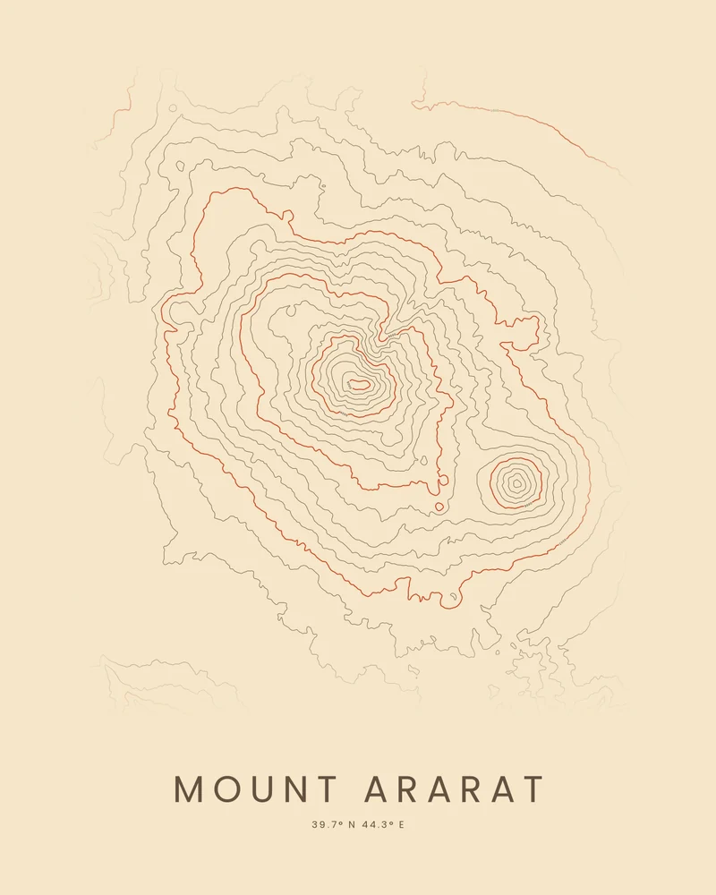
Mount Ararat topographic map, twin volcanoes in contour rings.
Greater Ararat and Lesser Ararat above the plain, traced in contour lines.
See Mount Ararat →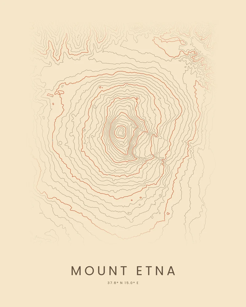
Mount Etna topographic map, a volcano in contour rings.
Sicily's volcano, its summit craters and the Valle del Bove, traced as rings of contour lines.
See Mount Etna →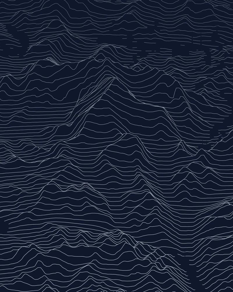
Mount Everest 3D model and topographic map, seen from the north.
The summit pyramid of the world's highest mountain, drawn as stacked elevation profiles.
See Mount Everest →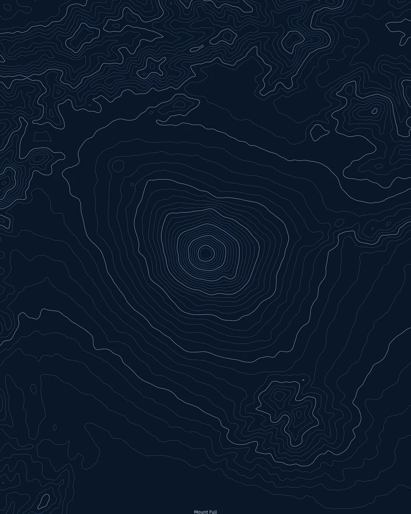
Mount Fuji poster, a topographic map in contour rings.
Japan's highest mountain, drawn as nearly concentric rings around its summit.
See Mount Fuji →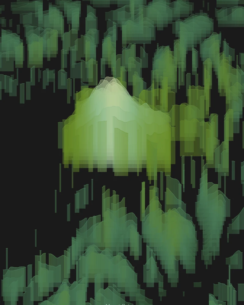
Mount Rainier topographic map in geological color.
The volcano and its glaciers, drawn as layered elevation bands.
See Mount Rainier →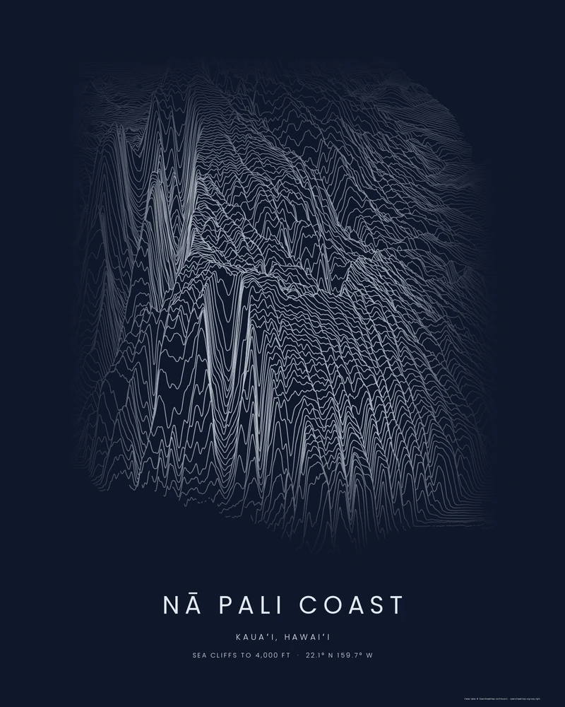
Nā Pali Coast poster, Kauaʻi's sea cliffs in ridgelines.
Fluted ridges and deep valleys along Kauaʻi's northwest shore, seen from the sea as stacked elevation profiles.
See Nā Pali Coast →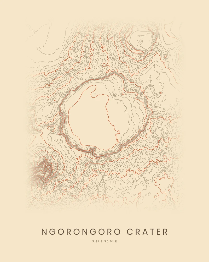
Ngorongoro Crater topographic map, an unbroken caldera in contour.
The crater rim, its open floor and the highlands around it in northern Tanzania, traced in contour lines.
See Ngorongoro Crater →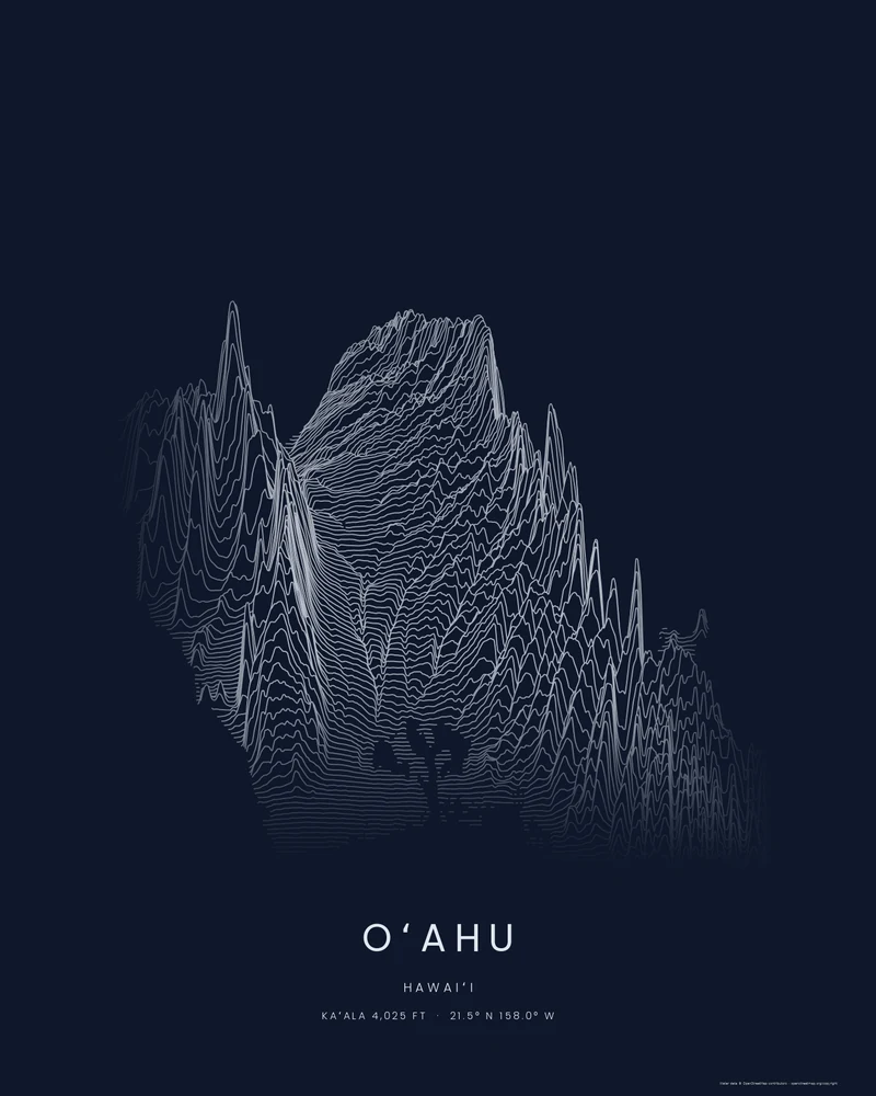
Oʻahu topographic map, two mountain ranges in ridgelines.
The Waiʻanae and Koʻolau ranges and the plateau between them, drawn as stacked elevation profiles.
See Oʻahu →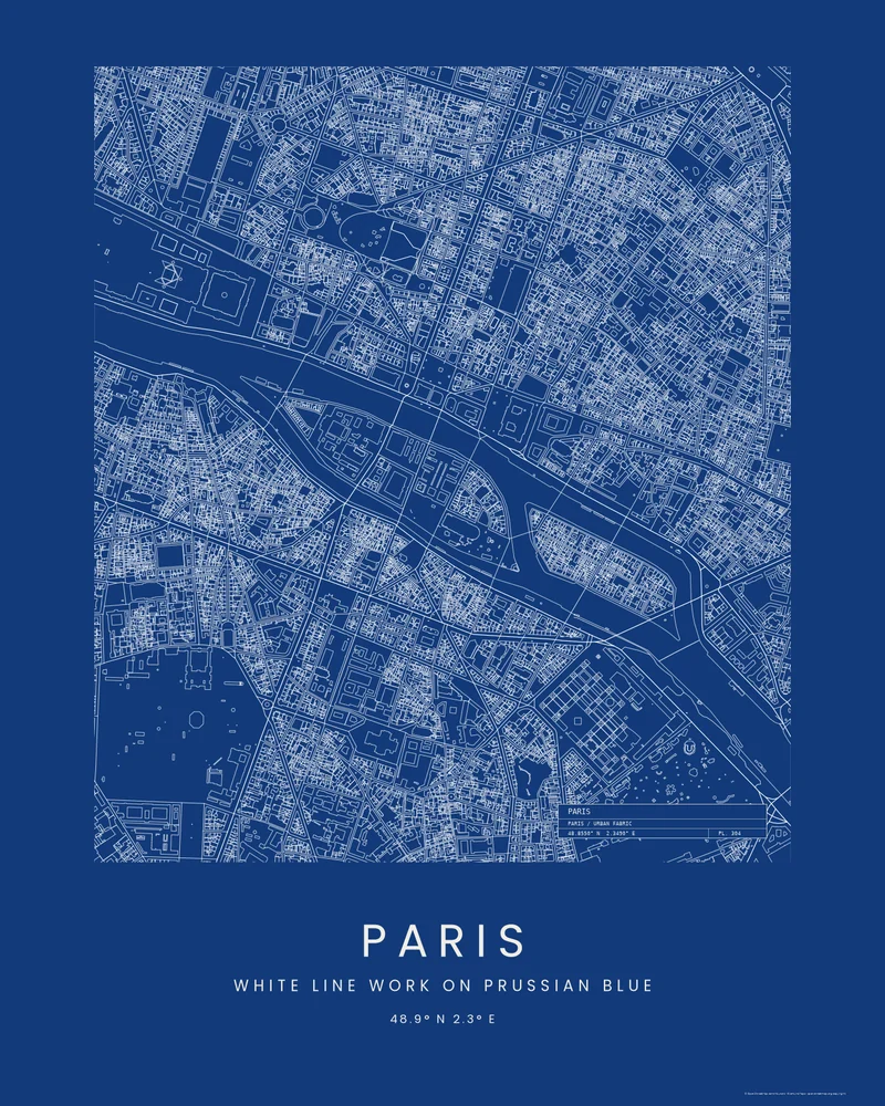
Paris city map, Île de la Cité as a blueprint.
The islands of the Seine and the streets of the Latin Quarter and the Marais, every building outlined in white.
See Paris →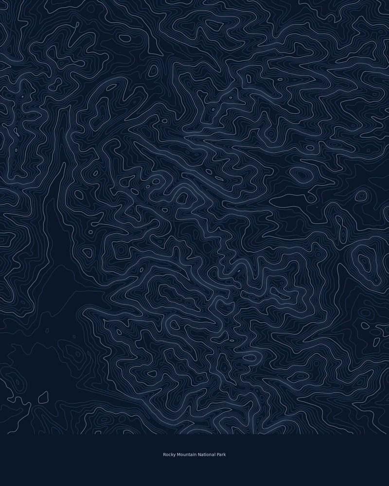
Rocky Mountain National Park topographic map in contour lines.
Longs Peak, Trail Ridge and the Continental Divide, traced line by line.
See Rocky Mountain National Park →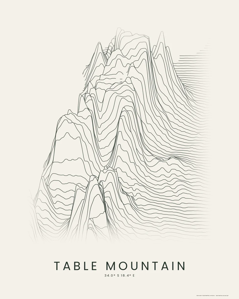
Table Mountain poster, Cape Town's flat-topped mountain in ridgelines.
Table Mountain, Devil's Peak, Lion's Head and the Twelve Apostles above Cape Town, drawn as stacked elevation profiles.
See Table Mountain →
Teide topographic map, a volcano rising from the sea.
Teide, Pico Viejo and the Las Cañadas caldera on Tenerife, traced in contour lines.
See Teide →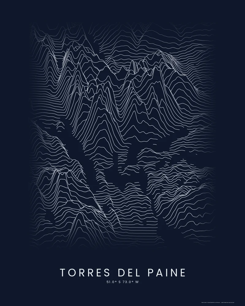
Torres del Paine poster, granite horns above Patagonian lakes.
The Paine massif, its towers and horns, the lakes below and the Grey Glacier, drawn as stacked elevation profiles.
See Torres del Paine →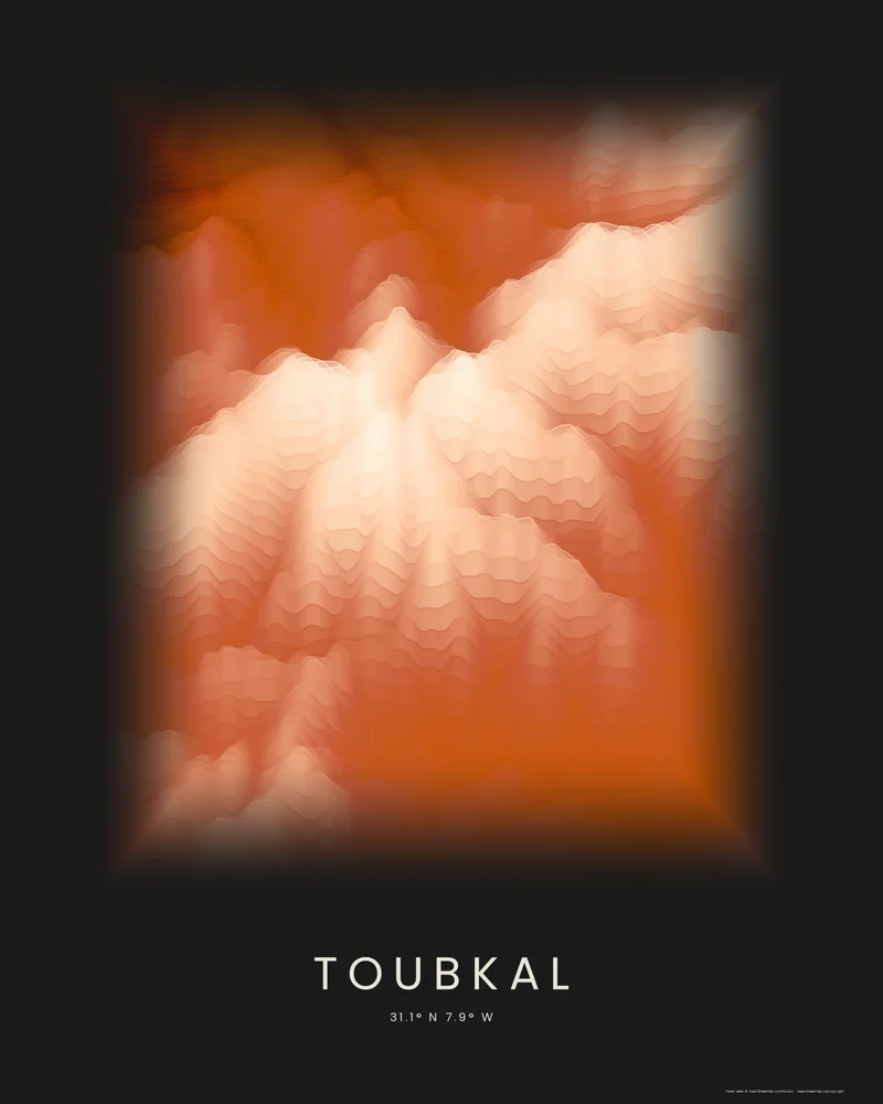
Toubkal 3D model and topographic map, the roof of North Africa.
Jebel Toubkal and the High Atlas above Imlil, drawn as stacked elevation bands.
See Toubkal →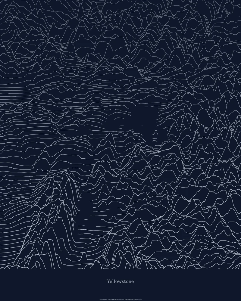
Yellowstone topographic map and elevation map of the whole park.
The park's high volcanic plateau and the ranges around it, drawn as stacked elevation profiles.
See Yellowstone →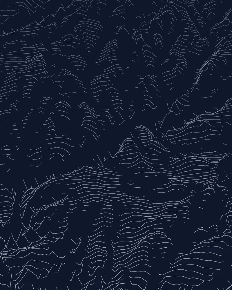
Yosemite Valley topographic map, granite as ridgelines.
El Capitan, Half Dome and the valley floor, drawn as stacked elevation profiles.
See Yosemite Valley →States
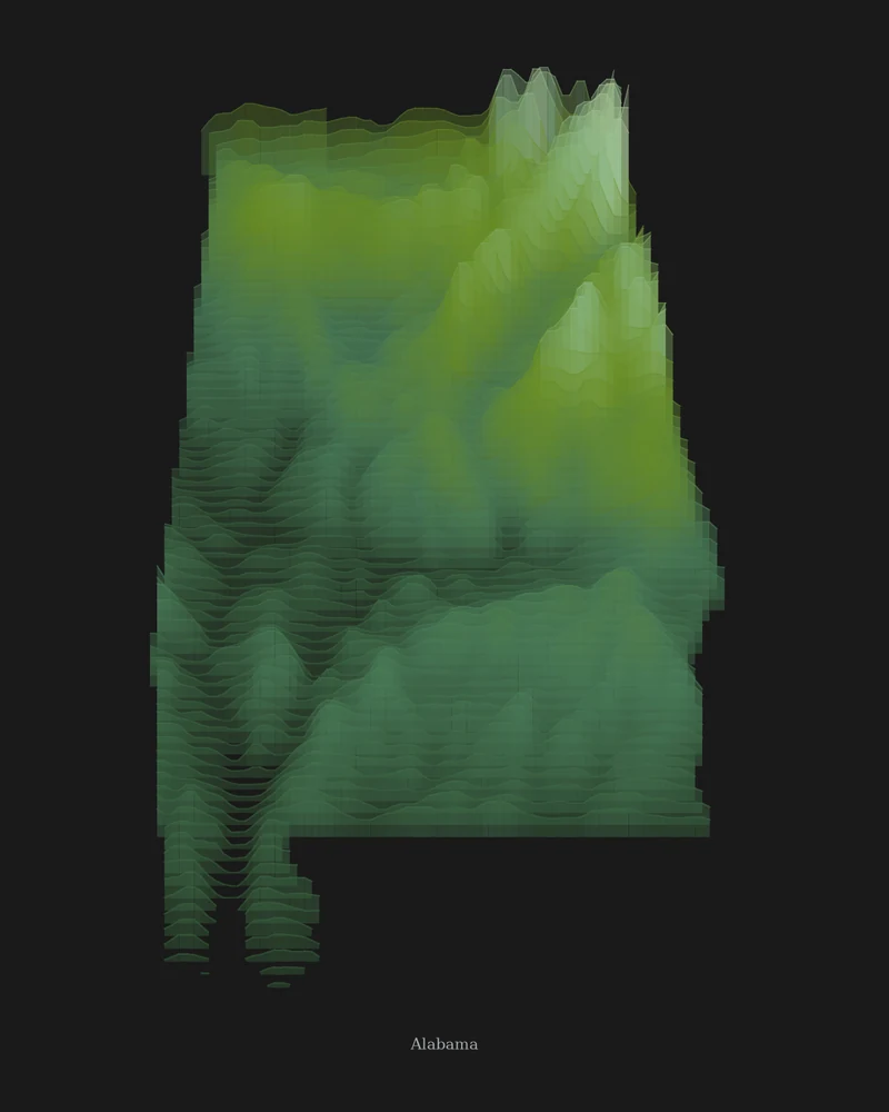
Alabama topographic map, Appalachian foothills to the Gulf.
The southern end of the Appalachians in the northeast and the Coastal Plain to the south, in layered forest green.
See Alabama →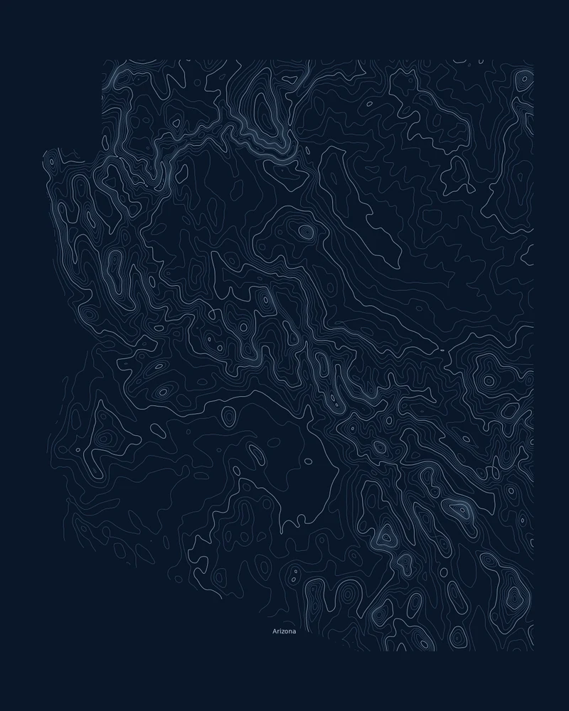
Arizona topographic map, from plateau to desert basin.
The Colorado Plateau, the Transition Zone and the Basin and Range, traced in contour lines.
See Arizona →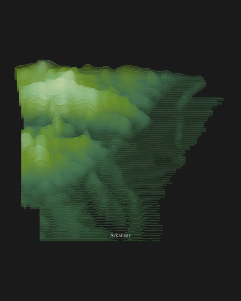
Arkansas topographic map, from the Ozarks to the lowlands.
Highlands in the northwest, lowlands to the south and east, in layered forest green.
See Arkansas →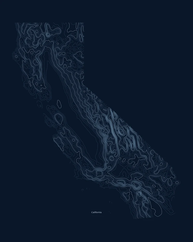
California topographic map in contour lines.
A topographic portrait of the Golden State, from Death Valley to Mount Whitney.
See California →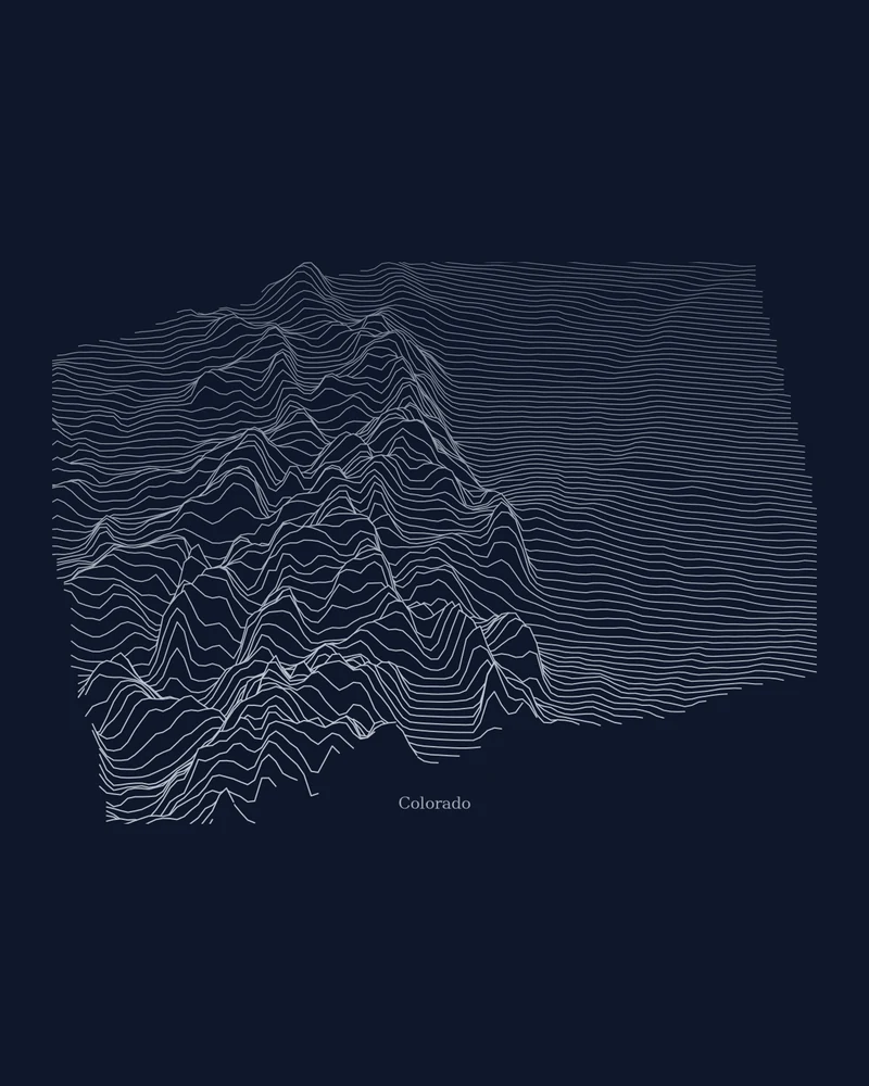
Colorado topographic map, ridge by ridge.
Stacked elevation profiles trace the Rockies across the state outline.
See Colorado →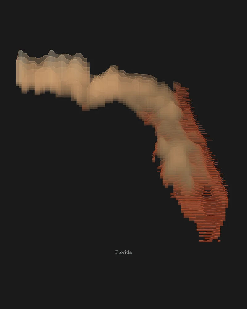
Florida topographic map, a few hundred feet made visible.
Sea level to 345 feet at Britton Hill, stretched into color so gentle rises show.
See Florida →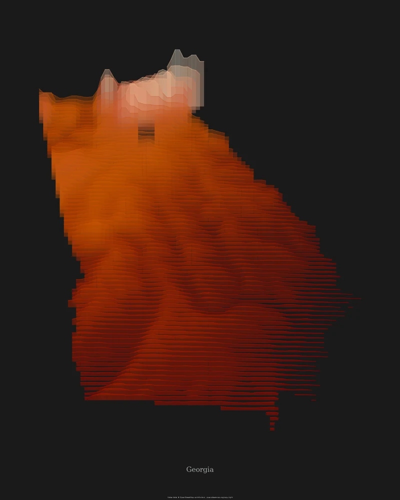
Georgia topographic map, from the Blue Ridge to the coast.
Mountains in the north, the Piedmont in the middle and the Coastal Plain below the Fall Line, in sandstone bands.
See Georgia →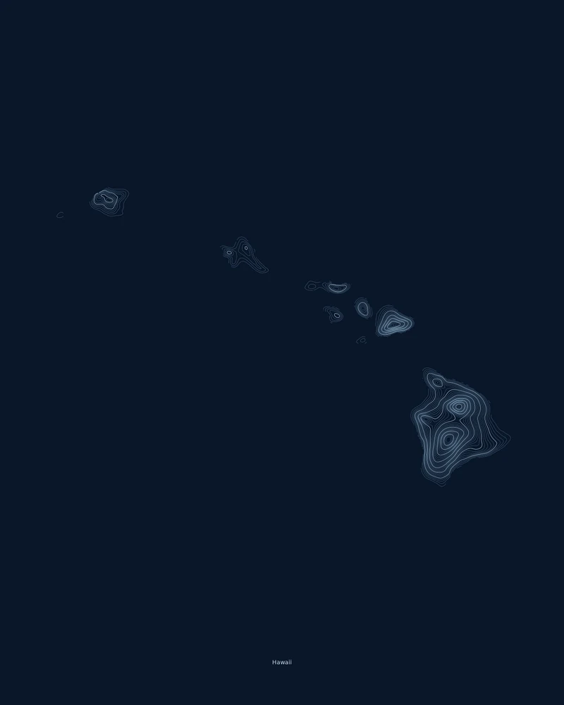
Hawaii topographic map, the main islands in contour rings.
Niʻihau to the Island of Hawaiʻi, each volcano traced as its own set of contour lines.
See Hawaii →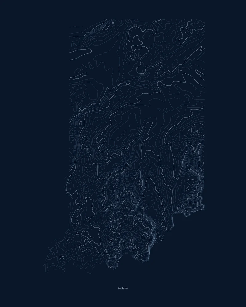
Indiana topographic map, glacial plains to southern hills.
Till plains smoothed by the ice sheets in the north, rugged hills in the south, in contour lines.
See Indiana →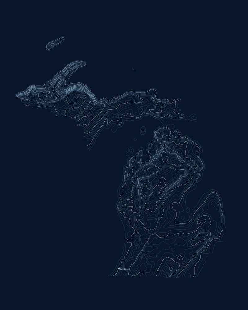
Michigan topographic map, both peninsulas in contour.
From the Lake Erie shore to Mount Arvon in the Upper Peninsula, traced in contour lines.
See Michigan →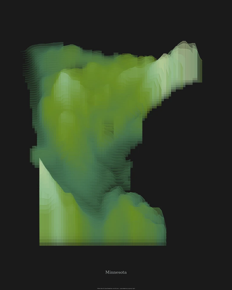
Minnesota topographic map, an elevation map of glacial country.
Highlands above Lake Superior, prairie uplands in the southwest and a flat lake bed in the northwest.
See Minnesota →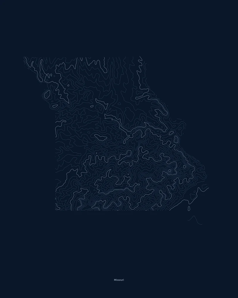
Missouri topographic map, the Ozarks in contour lines.
Dissected Ozark hills in the south, glaciated plains in the north and Mississippi lowlands in the Bootheel.
See Missouri →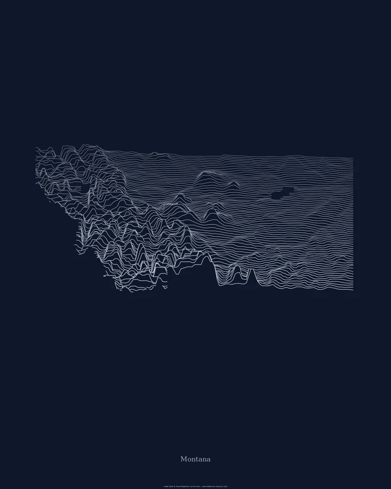
Montana topographic map, where the Rockies meet the plains.
Mountain ranges crowded into the west and island ranges scattered across the plains, in stacked elevation profiles.
See Montana →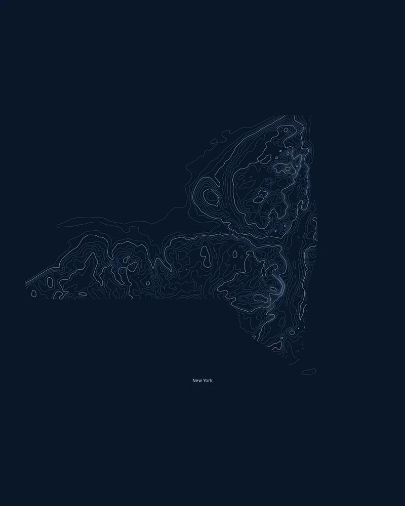
New York State topographic map, Adirondacks to the Catskills.
Mountains upstate and a glacial island downstate, traced in contour lines.
See New York →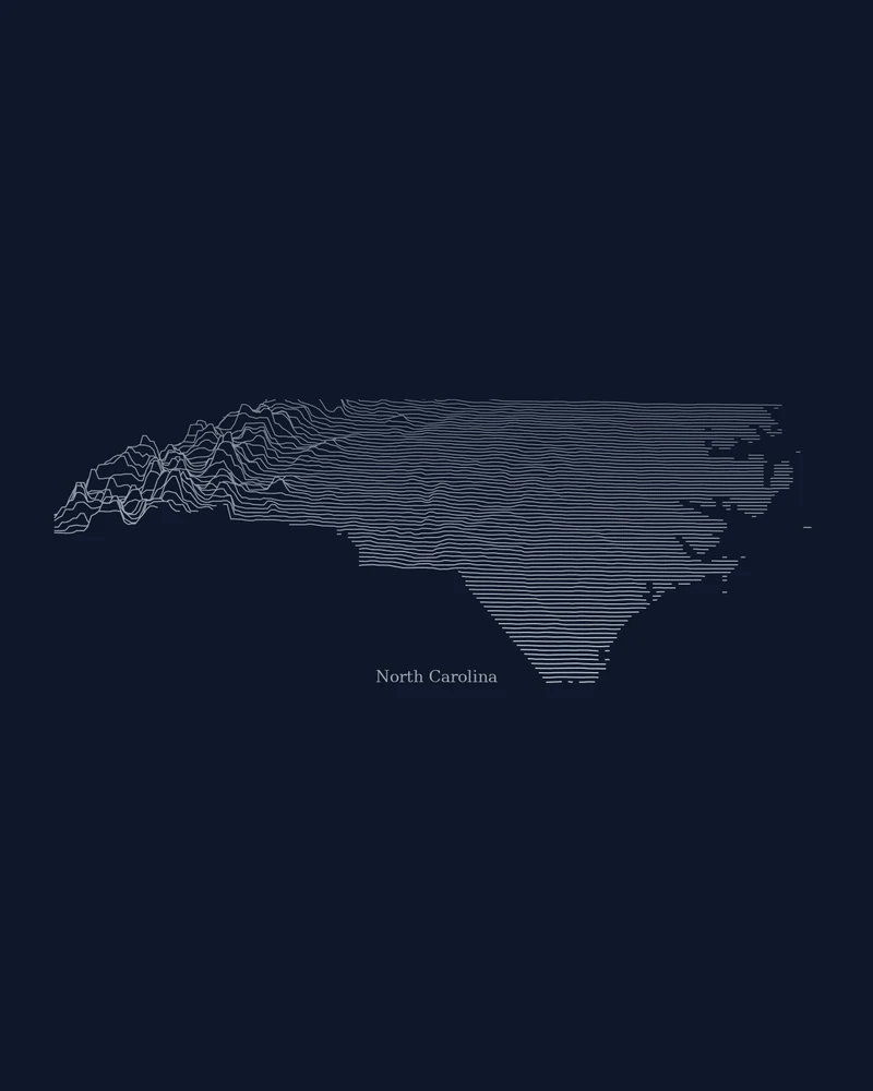
North Carolina topographic map, mountains to the sea.
The Blue Ridge, the Piedmont and the Coastal Plain, drawn as stacked elevation profiles.
See North Carolina →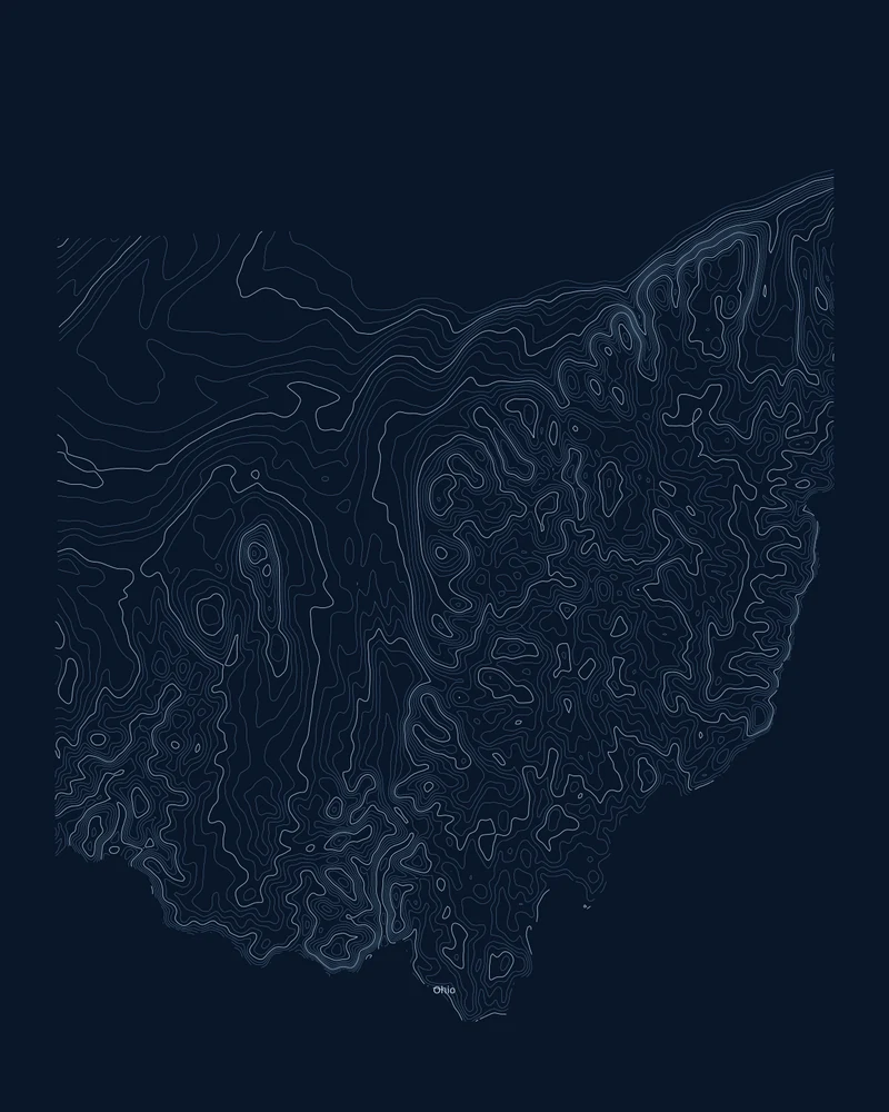
Ohio topographic map, from lake plain to Appalachian hills.
Glacier-flattened plains in the northwest, a dissected plateau in the southeast, in contour lines.
See Ohio →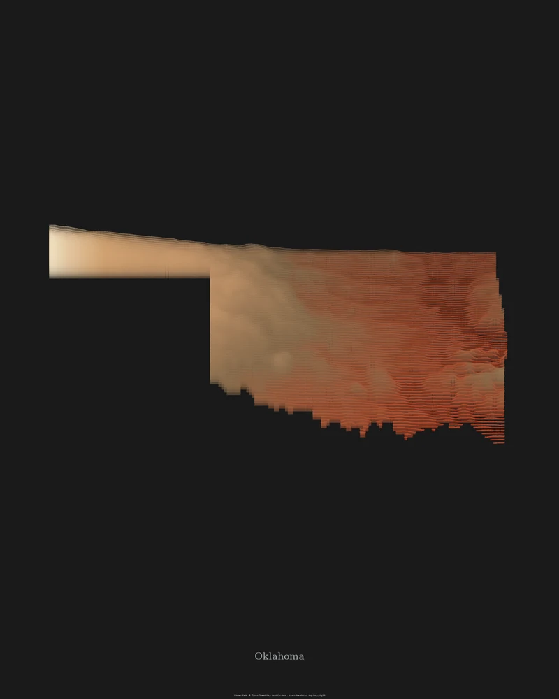
Oklahoma topographic map, an elevation map from mesa to river.
Land that tilts from the High Plains of the Panhandle down to the southeastern hills, in canyon reds.
See Oklahoma →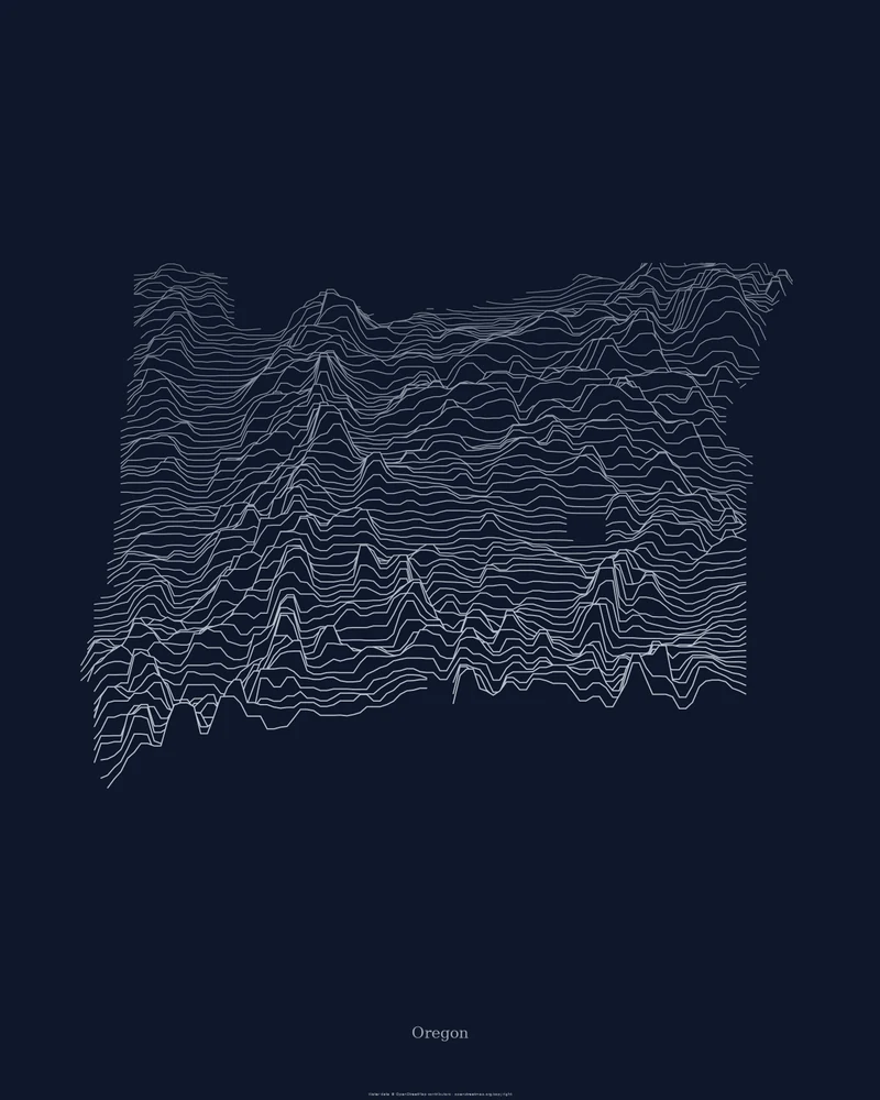
Oregon topographic map, the Cascades in ridgelines.
Coast Range, Willamette Valley, Cascade volcanoes and high desert, drawn as stacked elevation profiles.
See Oregon →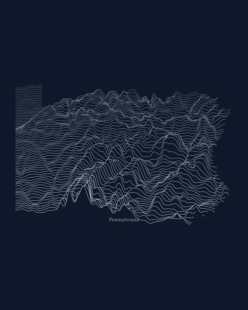
Pennsylvania topographic map, fold by fold.
The long ridges of central Pennsylvania, drawn as stacked elevation profiles.
See Pennsylvania →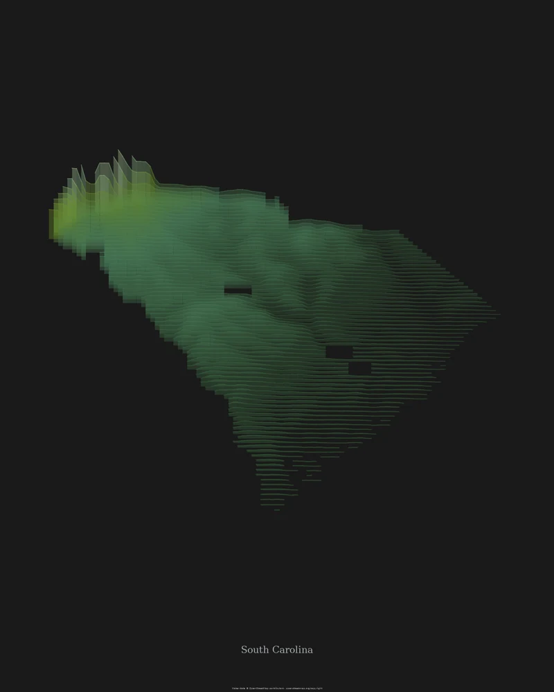
South Carolina topographic map, Upstate to Lowcountry.
A sliver of Blue Ridge in the northwest, then the Piedmont, the Sandhills and the Coastal Plain, in forest green.
See South Carolina →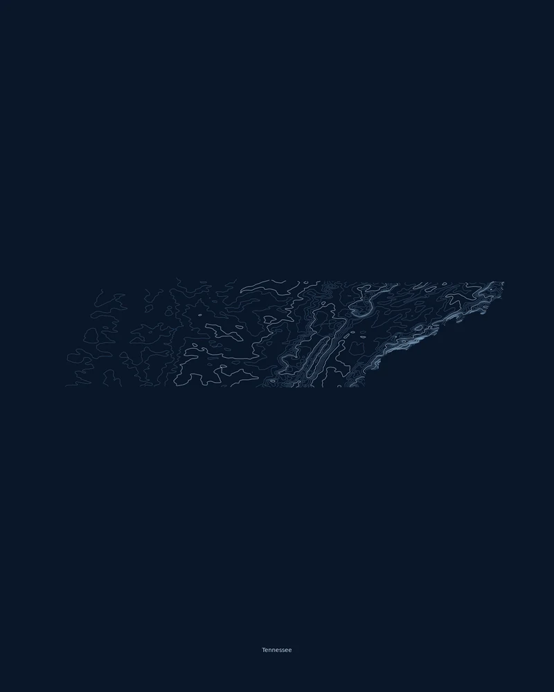
Tennessee topographic map, the Smokies to the Mississippi.
Mountains and parallel ridges in the east, plateau and basin in the middle, lowlands in the west, in contour lines.
See Tennessee →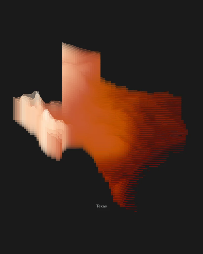
Texas topographic map, from the Gulf Coast to the Guadalupes.
Sea level on the coast to Guadalupe Peak in the far west, drawn as layered elevation bands.
See Texas →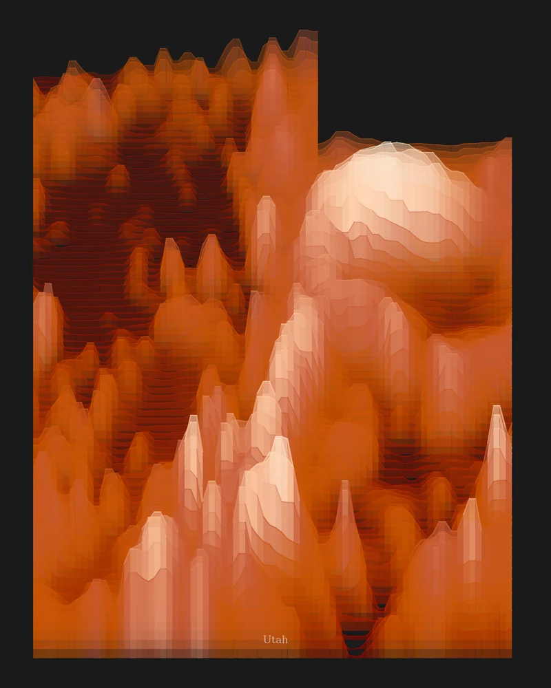
Utah topographic map, canyon country in geological color.
A state outline filled with stacked elevation bands, from the Wasatch to the canyon country.
See Utah →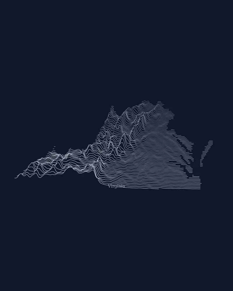
Virginia topographic map, from the Blue Ridge to the bay.
Five physiographic provinces stepping down from the western mountains to the coast.
See Virginia →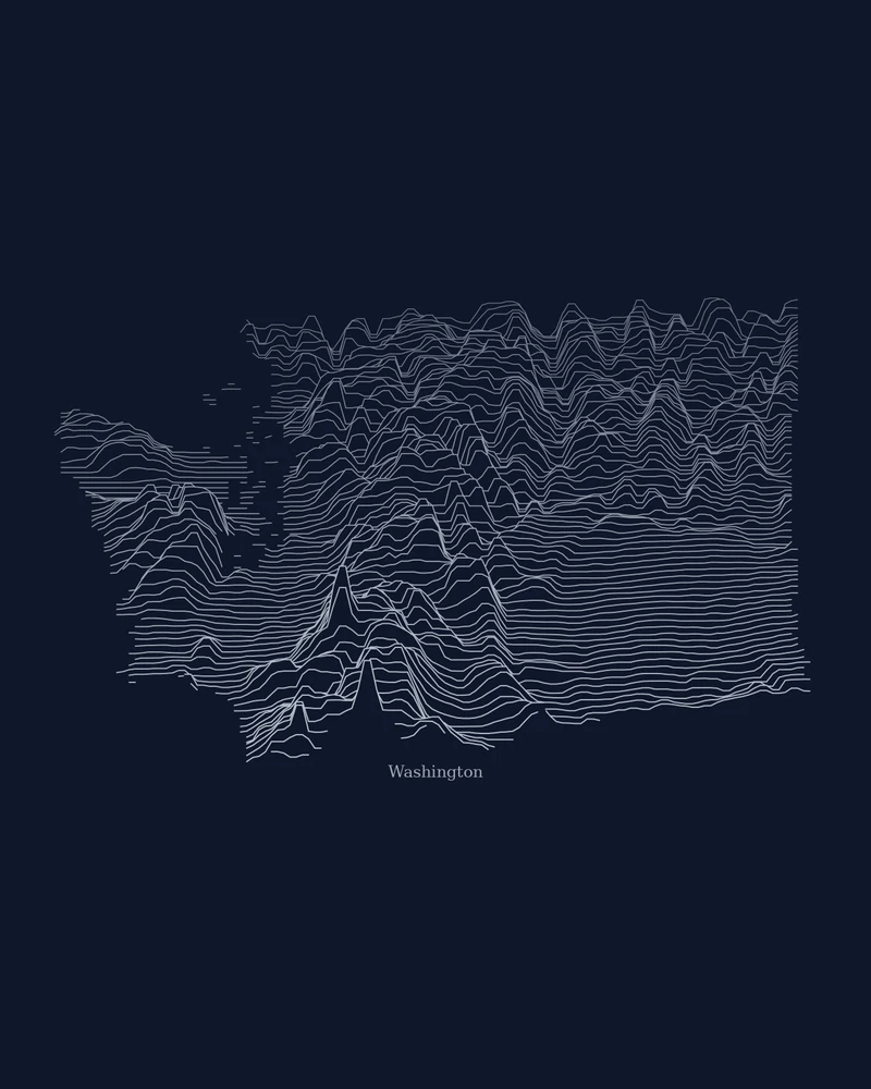
Washington State topographic map, peak by peak.
The Olympics and the Cascades in the west, the Columbia Basin in the east, as stacked profiles.
See Washington →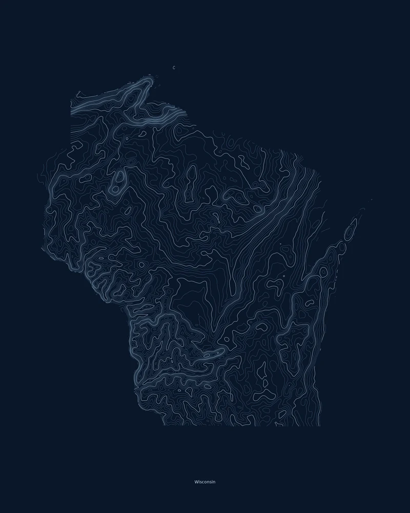
Wisconsin topographic map, glacial country and the Driftless.
Moraines and lake country shaped by the ice, and the unglaciated Driftless Area in the southwest, in contour lines.
See Wisconsin →Trail geometry from the National Park Service — NPS Public Trails Geographic. Bundled routes are artwork inputs, not navigation guidance. Somewhere else in mind? Search any place or upload a GPX route.