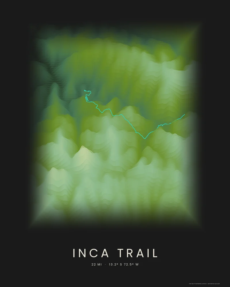
The classic Inca Trail follows a stone path built by the Incas from the Urubamba valley over the Andes to Machu Picchu. Over about four days it climbs to Warmiwañusqa, or Dead Woman's Pass, at 4,215 meters (13,829 feet), passes Inca sites such as Runkurakay, Sayacmarca and Wiñay Wayna, and enters Machu Picchu through the Sun Gate.
The bundled track is joined from the OpenStreetMap hiking route relation for the trail, © OpenStreetMap contributors under the Open Database License. In the Strata preview, the route climbs through the bands to the high passes and drops toward the citadel above the river.
The track is artwork, not navigation guidance. Hiking the trail requires a permit, sold in limited numbers through licensed tour operators, and the trail closes every February for maintenance. In the creator you can change the palette, highlight color and title, or switch to Ridgeline or Contours, and choose 3D Terrain Model to emboss the route on a printable model; the download credits the elevation source used.
- Starting point
- OpenStreetMap hiking route
- Preview style
- Strata
- Poster files
- PNG, PDF and SVG at print resolution
- Model files
- STL, 3MF and GLB, when you choose the 3D terrain model
- Price
- Pay what you want, including free
What you can make from Inca Trail
Poster. Keep the Strata preview or switch to another poster style. Set the title, colors and size, then download PNG, PDF or SVG and print it yourself or through a print shop.
3D terrain model. Choose the 3D Terrain Model product to turn the same terrain into a printable relief. Adjust the model size, base and vertical exaggeration, preview it in the browser, then download STL or 3MF for your slicer.
Route. The bundled trail is an OpenStreetMap hiking route, joined into one track and highlighted on the terrain. Bundled routes are artwork inputs, not navigation guidance. Upload your own GPX file to replace it with your recorded hike.
Questions about the Inca Trail artwork
- Do I need a permit to hike the Inca Trail?
- Yes. Peru limits the number of people on the classic Inca Trail each day, and permits are sold only through licensed tour operators, often months ahead. The trail closes every February. Check the official Machu Picchu site before you plan; this poster is artwork, not trip guidance.
- Can I use my own hike instead of the bundled route?
- Yes. Upload a GPX file from Strava, AllTrails, Garmin or another service and your recorded track replaces the bundled one. The bundled track is joined from an OpenStreetMap hiking route, © OpenStreetMap contributors under the Open Database License, and it is artwork, not navigation guidance.
- Can I 3D print this trail as a terrain model?
- Yes. In the creator, switch the product to 3D Terrain Model. The route is embossed on the surrounding terrain, and you can adjust the model size, terrain extent and vertical exaggeration before downloading STL or 3MF.
- How much does it cost?
- Downloads are pay what you want, including free. You can add a contribution at checkout if the artwork or model is worth it to you. No account is needed.
Want the conversion pages instead? See GPX to poster or GPX to STL.