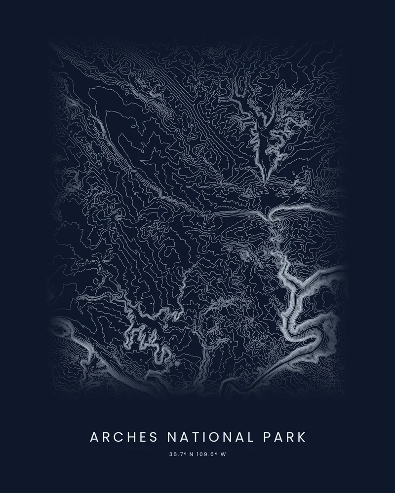
Arches National Park holds more than 2,000 documented natural stone arches, the densest concentration in the world, among them Landscape Arch, whose opening spans 306 feet. Arches National Monument was established on April 12, 1929, and Congress made it a national park on November 12, 1971. The park covers 76,519 acres, from 4,085 feet at the visitor center to 5,653 feet on Elephant Butte.
The curated map area is about 21 by 27 kilometers around the park, so it also takes in the Colorado River and land outside the boundary. In the Contours preview, the river winds through the lower right as a bright, deeply cut channel, canyons draw branching bands of lines across the frame, and the higher ground between them opens into wider rings.
The preview is the Contours export for this map area in the shale palette on a dark background, generated from public elevation data. The arches themselves are far smaller than the elevation grid, so the poster shows the fins and canyons they formed in. In the creator you can change the interval, colors and title, or choose 3D Terrain Model for a printable STL or 3MF.
Park facts from the National Park Service: Arches quick facts, arches.
- Starting point
- Map area
- Map area
- 38.60°–38.84° N, 109.46°–109.70° W
- Preview style
- Contours
- Poster files
- PNG, PDF and SVG at print resolution
- Model files
- STL, 3MF and GLB, when you choose the 3D terrain model
- Price
- Pay what you want, including free
What you can make from Arches National Park
Poster. Keep the Contours preview or switch to another poster style. Set the title, colors and size, then download PNG, PDF or SVG and print it yourself or through a print shop.
3D terrain model. Choose the 3D Terrain Model product to turn the same terrain into a printable relief. Adjust the model size, base and vertical exaggeration, preview it in the browser, then download STL or 3MF for your slicer.
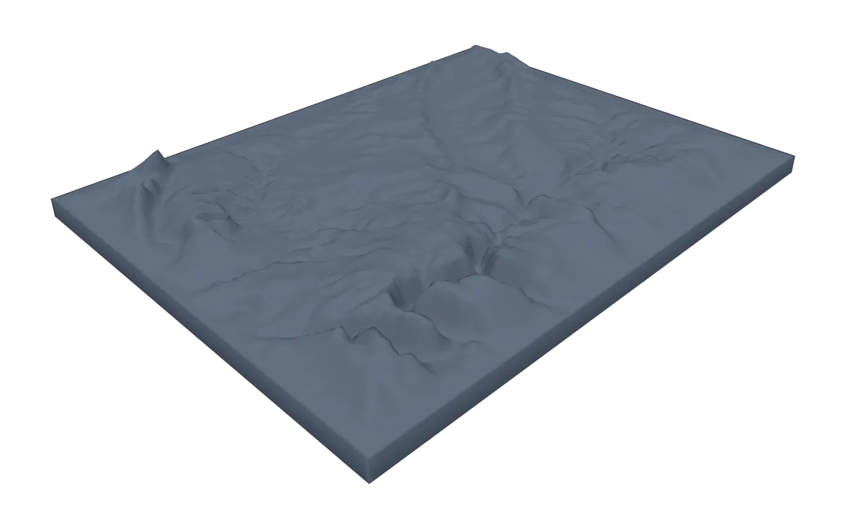
Questions about the Arches National Park artwork
- Can I see Delicate Arch on the map?
- No. Arches are far smaller than the grid of public elevation data, so they do not appear as shapes. The poster shows the fins, valleys and canyons they formed in; search Delicate Arch in the creator to center a smaller area on it.
- Can I download this landscape as an STL file?
- Yes. Choose 3D Terrain Model in the creator to turn the same map area into a printable relief model. Download STL or 3MF, open it in your slicer, and check the scale for your printer.
- How much does it cost?
- Downloads are pay what you want, including free. You can add a contribution at checkout if the artwork or model is worth it to you. No account is needed.
- Do you ship a printed poster or a 3D print?
- No. Printed Canyon delivers digital files only: PNG, PDF and SVG for posters, and STL, 3MF and GLB for terrain models. You print them at home or through a print shop or 3D-printing service of your choice.
See every park ready to customize in national park map posters.
Related tools: 3D printed maps, 3D printed topographic maps, the contour map generator, GPX to poster and GPX to STL.