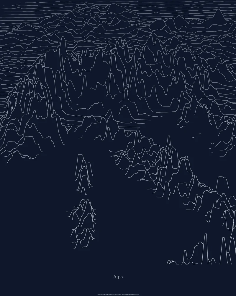
According to the Alpine Convention, the Alps span eight countries: Austria, France, Germany, Italy, Liechtenstein, Monaco, Slovenia and Switzerland. Their highest summit, Mont Blanc, measured 4,805.59 meters in the 2023 survey; its snow cap changes height from one survey to the next.
The curated map area runs from the Mediterranean coast near Nice to the edge of the Vienna Basin. The portrait poster extends it north and south, so the frame also takes in the Alpine foreland, the Po Valley, the northern Apennines and part of the sea. In the Ridgeline preview, the Alps sweep across the middle of the poster as one dense arc of peaks.
The preview is the Ridgeline export for this map area, generated from public global elevation data. In the creator you can change line density, perspective, colors and title, switch to Strata or Contours, or frame one massif instead. Choose 3D Terrain Model to download a printable STL or 3MF; outside the United States, models use Copernicus DEM GLO-30 elevation data.
- Starting point
- Map area
- Map area
- 43.70°–48.40° N, 5.00°–16.40° E
- Preview style
- Ridgeline
- Poster files
- PNG, PDF and SVG at print resolution
- Model files
- STL, 3MF and GLB, when you choose the 3D terrain model
- Price
- Pay what you want, including free
What you can make from Alps
Poster. Keep the Ridgeline preview or switch to another poster style. Set the title, colors and size, then download PNG, PDF or SVG and print it yourself or through a print shop.
3D terrain model. Choose the 3D Terrain Model product to turn the same terrain into a printable relief. Adjust the model size, base and vertical exaggeration, preview it in the browser, then download STL or 3MF for your slicer.
Questions about the Alps artwork
- Can I 3D print a relief map of the Alps?
- Yes. Choose 3D Terrain Model in the creator and download STL or 3MF. Across an area this large, a raised Elevation setting helps the ranges stand out; for sharper peaks, frame a smaller area such as the Mont Blanc massif or the Matterhorn.
- How much does it cost?
- Downloads are pay what you want, including free. You can add a contribution at checkout if the artwork or model is worth it to you. No account is needed.
- Do you ship a printed poster or a 3D print?
- No. Printed Canyon delivers digital files only: PNG, PDF and SVG for posters, and STL, 3MF and GLB for terrain models. You print them at home or through a print shop or 3D-printing service of your choice.
Want the conversion pages instead? See GPX to poster or GPX to STL.