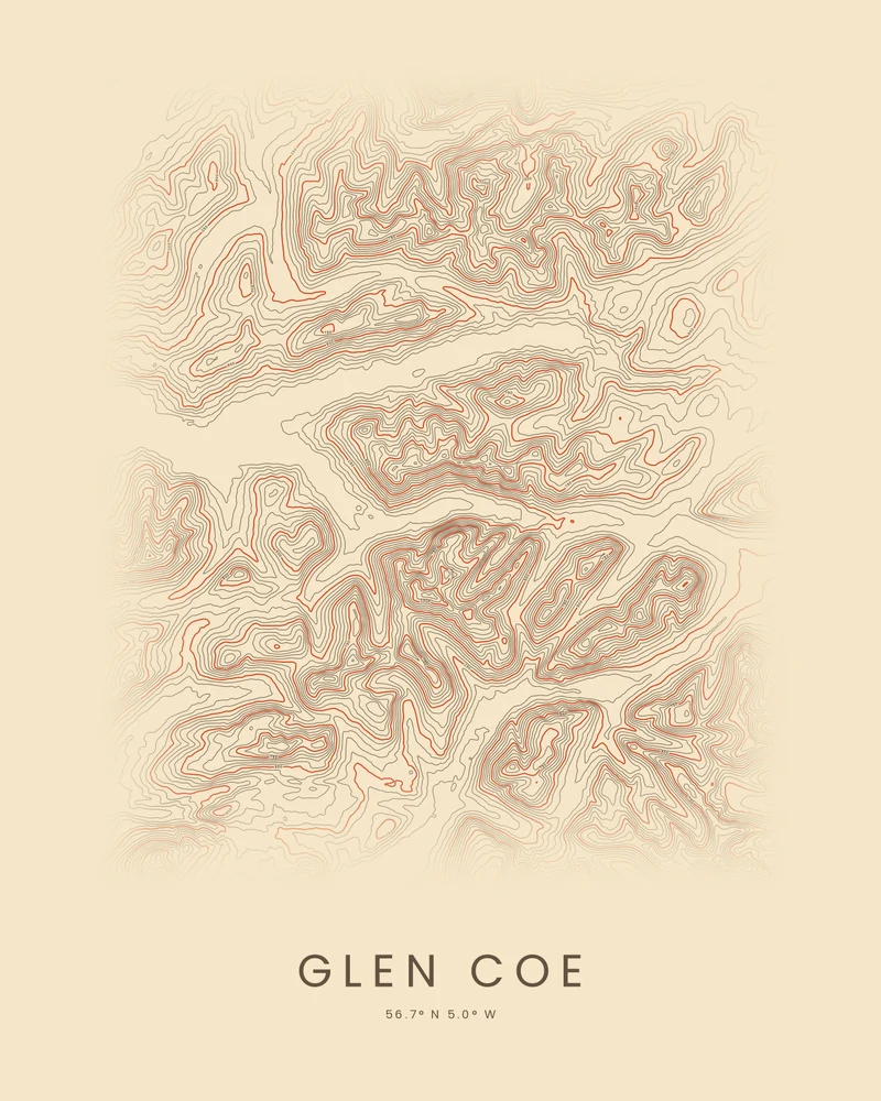
Glen Coe is a glacial valley in the Scottish Highlands, cut through the remains of an ancient volcano. Bidean nam Bian, the highest mountain in Argyll at 1,150 meters (3,773 feet), rises behind the Three Sisters on its south side, the Aonach Eagach ridge walls the north, and Buachaille Etive Mòr stands at its eastern entrance. The glen is also remembered for the massacre of 1692.
The curated map area is about 21 by 17 kilometers around the glen. In the Contours preview, the lines crowd on the steep walls of the glen and the mountains on both sides, and spread apart along the valley floor toward Loch Leven in the west.
The preview is the Contours export for this map area, generated from public global elevation data. In the creator you can change the contour interval, colors and title, move the area, or switch to Ridgeline or Strata. Choose 3D Terrain Model to download the glen as a printable STL or 3MF; the download credits the elevation source used.
- Starting point
- Map area
- Map area
- 56.60°–56.75° N, 4.85°–5.20° W
- Preview style
- Contours
- Poster files
- PNG, PDF and SVG at print resolution
- Model files
- STL, 3MF and GLB, when you choose the 3D terrain model
- Price
- Pay what you want, including free
What you can make from Glen Coe
Poster. Keep the Contours preview or switch to another poster style. Set the title, colors and size, then download PNG, PDF or SVG and print it yourself or through a print shop.
3D terrain model. Choose the 3D Terrain Model product to turn the same terrain into a printable relief. Adjust the model size, base and vertical exaggeration, preview it in the browser, then download STL or 3MF for your slicer.
Questions about the Glen Coe artwork
- Can I add my Glen Coe hill walk to the poster?
- Yes, from your own GPX file. This page has no bundled route, so upload the track you recorded and the creator draws it on the terrain. The artwork is not navigation guidance.
- Can I download this landscape as an STL file?
- Yes. Choose 3D Terrain Model in the creator to turn the same map area into a printable relief model. Download STL or 3MF, open it in your slicer, and check the scale for your printer.
- How much does it cost?
- Downloads are pay what you want, including free. You can add a contribution at checkout if the artwork or model is worth it to you. No account is needed.
- Do you ship a printed poster or a 3D print?
- No. Printed Canyon delivers digital files only: PNG, PDF and SVG for posters, and STL, 3MF and GLB for terrain models. You print them at home or through a print shop or 3D-printing service of your choice.
Want the conversion pages instead? See GPX to poster or GPX to STL.