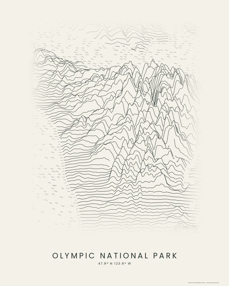
Olympic National Park covers 922,651 acres at the center of the Olympic Peninsula, and 95 percent of it is designated wilderness. Mount Olympus, at 7,980 feet, is its highest peak, and 32 named glaciers cling to the mountains around it. The park also takes in 73 miles of wilderness coast and the temperate rainforests of the western valleys. President Theodore Roosevelt protected the mountains as a national monument in 1909, and they became a national park in 1938; the park is a World Heritage Site and a Biosphere Reserve.
The curated map area is about 135 by 94 kilometers and covers most of the peninsula, so it includes land outside the park and the water around it. In the Ridgeline preview, the Olympic Mountains rise as a tall cluster of peaks in the middle of the frame, the profiles fall away toward the coast, and short broken strokes mark islands and shorelines in the surrounding water.
The preview is the Ridgeline export for this map area with dark lines on light paper, generated from public elevation data. In the creator you can change line density, perspective, colors and title, or switch to Contours or Strata. Choose 3D Terrain Model to download the peninsula as a printable STL or 3MF.
Park facts from the National Park Service: Olympic fun facts, park brochure, mountains.
- Starting point
- Map area
- Map area
- 47.35°–48.20° N, 122.95°–124.75° W
- Preview style
- Ridgeline
- Poster files
- PNG, PDF and SVG at print resolution
- Model files
- STL, 3MF and GLB, when you choose the 3D terrain model
- Price
- Pay what you want, including free
What you can make from Olympic National Park
Poster. Keep the Ridgeline preview or switch to another poster style. Set the title, colors and size, then download PNG, PDF or SVG and print it yourself or through a print shop.
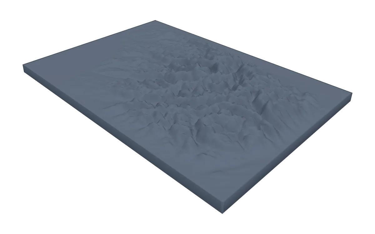
3D terrain model. Choose the 3D Terrain Model product to turn the same terrain into a printable relief. Adjust the model size, base and vertical exaggeration, preview it in the browser, then download STL or 3MF for your slicer.
Questions about the Olympic National Park artwork
- Does the Olympic map show the park's coast strip?
- Partly. The map area covers the mountains and the peninsula's western shore, but not the full length of the park's coastal section. Draw your own area in the creator to frame the coast from Lake Ozette to the Hoh, for example.
- Can I download this landscape as an STL file?
- Yes. Choose 3D Terrain Model in the creator to turn the same map area into a printable relief model. Download STL or 3MF, open it in your slicer, and check the scale for your printer.
- How much does it cost?
- Downloads are pay what you want, including free. You can add a contribution at checkout if the artwork or model is worth it to you. No account is needed.
- Do you ship a printed poster or a 3D print?
- No. Printed Canyon delivers digital files only: PNG, PDF and SVG for posters, and STL, 3MF and GLB for terrain models. You print them at home or through a print shop or 3D-printing service of your choice.
See every park ready to customize in national park map posters.
Related tools: 3D printed maps, 3D printed topographic maps, the contour map generator, GPX to poster and GPX to STL.