Despite its name, Bryce Canyon is not a canyon: it is a series of more than a dozen amphitheaters, each carved at least 1,000 feet into the eastern edge of the Paunsaugunt Plateau, holding the world's largest collection of hoodoos. The park covers 35,835 acres, and its elevation runs from 6,620 feet at Yellow Creek to 9,115 feet at Rainbow Point. It was established as a national monument in 1923 and as Bryce Canyon National Park in 1928.
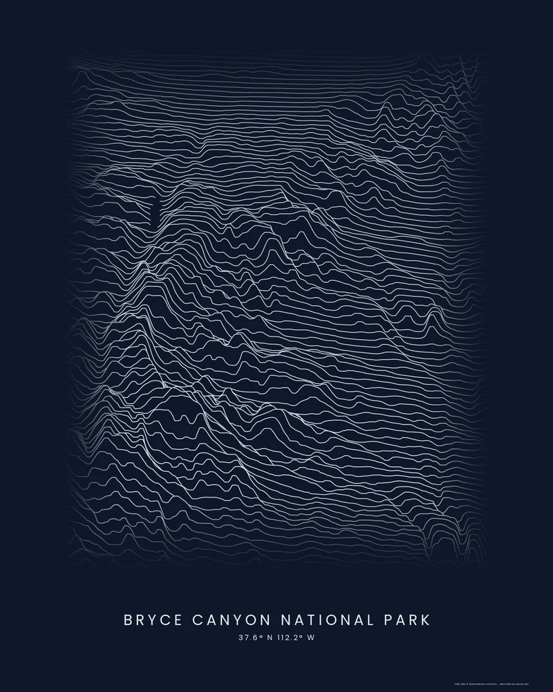
The curated map area is a narrow rectangle of about 22 by 31 kilometers along the plateau. In the Ridgeline preview, the high plateau fills the back of the frame with calm lines, and the profiles buckle and drop where the rim breaks into the amphitheaters, before flattening again across the lower country in front.
The preview is the Ridgeline export for this map area, light lines on a dark background, generated from public elevation data. Individual hoodoos are smaller than the elevation data's grid, so the poster shows the rim and amphitheaters rather than single spires. In the creator you can change the style, colors and title, or choose 3D Terrain Model for a printable STL or 3MF.
Park facts from the National Park Service: park statistics, park history, park brochure.
- Starting point
- Map area
- Map area
- 37.44°–37.72° N, 112.05°–112.30° W
- Preview style
- Ridgeline
- Poster files
- PNG, PDF and SVG at print resolution
- Model files
- STL, 3MF and GLB, when you choose the 3D terrain model
- Price
- Pay what you want, including free
What you can make from Bryce Canyon National Park
Poster. Keep the Ridgeline preview or switch to another poster style. Set the title, colors and size, then download PNG, PDF or SVG and print it yourself or through a print shop.
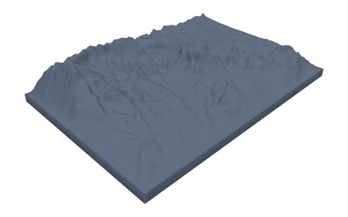
3D terrain model. Choose the 3D Terrain Model product to turn the same terrain into a printable relief. Adjust the model size, base and vertical exaggeration, preview it in the browser, then download STL or 3MF for your slicer.
Questions about the Bryce Canyon National Park artwork
- Will the hoodoos show on a Bryce Canyon poster or model?
- Not individually. Public elevation data is sampled on a grid tens of meters across, larger than most hoodoos, so the poster and the 3D model show the plateau rim and the amphitheaters the hoodoos stand in.
- Can I download this landscape as an STL file?
- Yes. Choose 3D Terrain Model in the creator to turn the same map area into a printable relief model. Download STL or 3MF, open it in your slicer, and check the scale for your printer.
- How much does it cost?
- Downloads are pay what you want, including free. You can add a contribution at checkout if the artwork or model is worth it to you. No account is needed.
- Do you ship a printed poster or a 3D print?
- No. Printed Canyon delivers digital files only: PNG, PDF and SVG for posters, and STL, 3MF and GLB for terrain models. You print them at home or through a print shop or 3D-printing service of your choice.
See every park ready to customize in national park map posters.
Related tools: 3D printed maps, 3D printed topographic maps, the contour map generator, GPX to poster and GPX to STL.