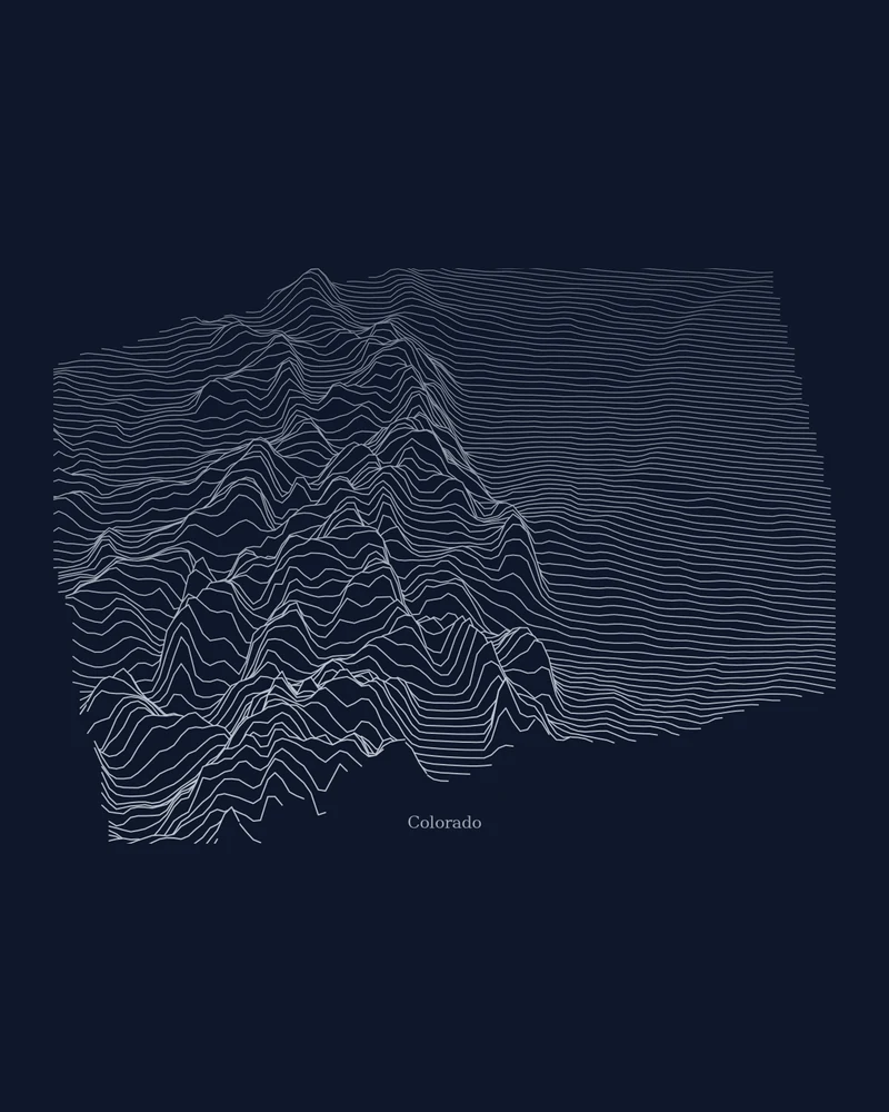
Colorado's eastern plains rise into the Front Range, then the Sawatch, Elk and San Juan mountains, before dropping into the western plateaus. Drawn as Ridgeline art, each horizontal line is an elevation profile across the state, so the mountains build up as dense, overlapping peaks and the plains stay calm.
The preview is the Ridgeline export for Colorado with a dark background and light lines. In the creator you can change line density, colors, perspective and the title, or switch the same state to Contours, Strata or a printable 3D terrain model.
- Starting point
- US state
- Boundary
- CO
- Preview style
- Ridgeline
- Poster files
- PNG, PDF and SVG at print resolution
- Model files
- STL, 3MF and GLB, when you choose the 3D terrain model
- Price
- Pay what you want, including free
Colorado elevation
- Highest point
- Mount Elbert, 14,433 ft (4,399 m)
- Lowest point
- Arikaree River, 3,315 ft (1,010 m)
- Mean elevation
- About 6,800 ft (2,073 m)
Source: U.S. Census Bureau, Statistical Abstract of the United States: 2012, Table 366, from U.S. Geological Survey figures. Meters are converted from feet and rounded; recent surveys can differ by a few feet.
What you can make from Colorado
Poster. Keep the Ridgeline preview or switch to another poster style. Set the title, colors and size, then download PNG, PDF or SVG and print it yourself or through a print shop.
3D terrain model. Choose the 3D Terrain Model product to turn the same state into a printable relief. Adjust the model size, base and vertical exaggeration, preview it in the browser, then download STL or 3MF for your slicer.
Questions about the Colorado artwork
- Can I add my own route to the Colorado poster?
- State posters use the state outline as the subject. To feature a specific hike or ride, upload a GPX file instead and the creator builds the artwork around your route.
- Can I make a 3D-printable model of the whole state?
- Yes. Switch the product to 3D Terrain Model in the creator to preview the state as a relief model and download STL, 3MF or GLB. Choose a model size that fits your printer and check the slicer preview before printing.
- How much does it cost?
- Downloads are pay what you want, including free. You can add a contribution at checkout if the artwork or model is worth it to you. No account is needed.
- Do you ship a printed poster or a 3D print?
- No. Printed Canyon delivers digital files only: PNG, PDF and SVG for posters, and STL, 3MF and GLB for terrain models. You print them at home or through a print shop or 3D-printing service of your choice.
Related tools: 3D printed maps, 3D printed topographic maps, the contour map generator, GPX to poster and GPX to STL.