Turn your GPX route into a poster.
Give a favorite hike, ride or run a place on the wall. Choose a style, shape it in the studio, and download a print-ready file.
Pay what you want. Digital download. No account.
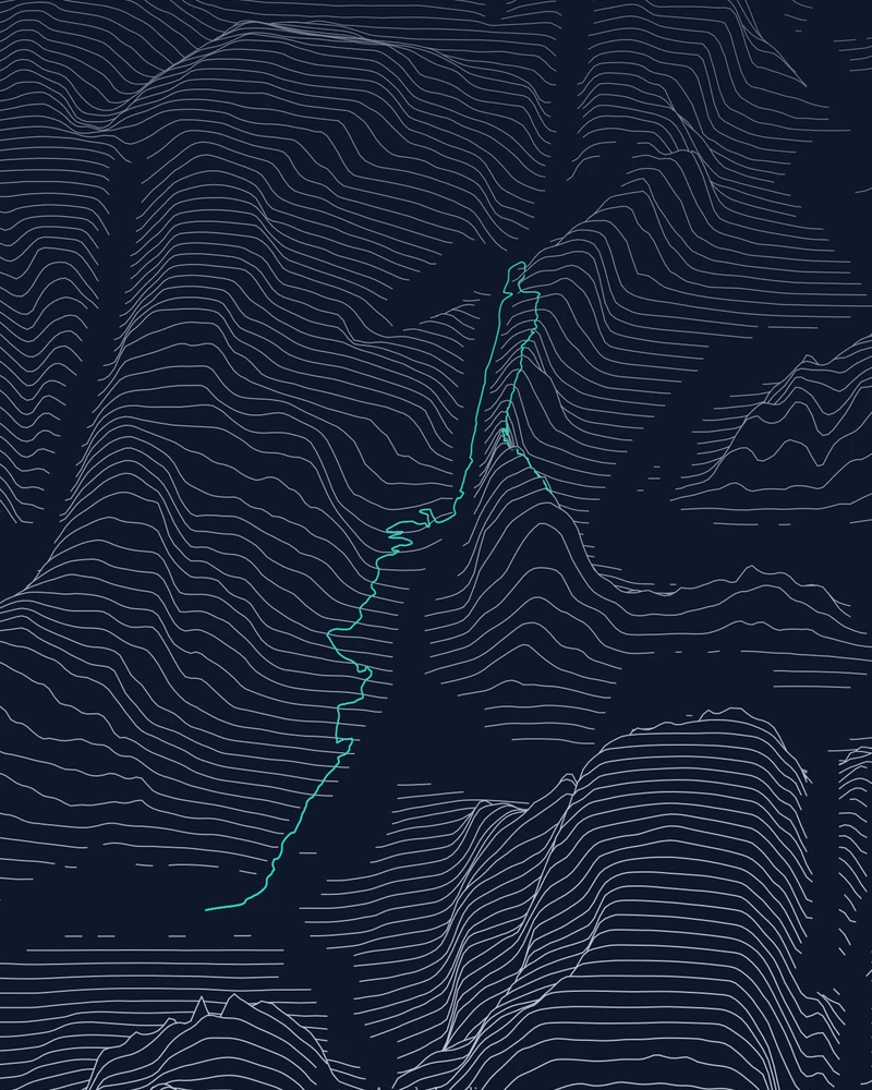
One place, six ways to see it.
Start with your GPX route, then explore the landscape through different styles. Preview the artwork and adjust the options for your chosen design before downloading.
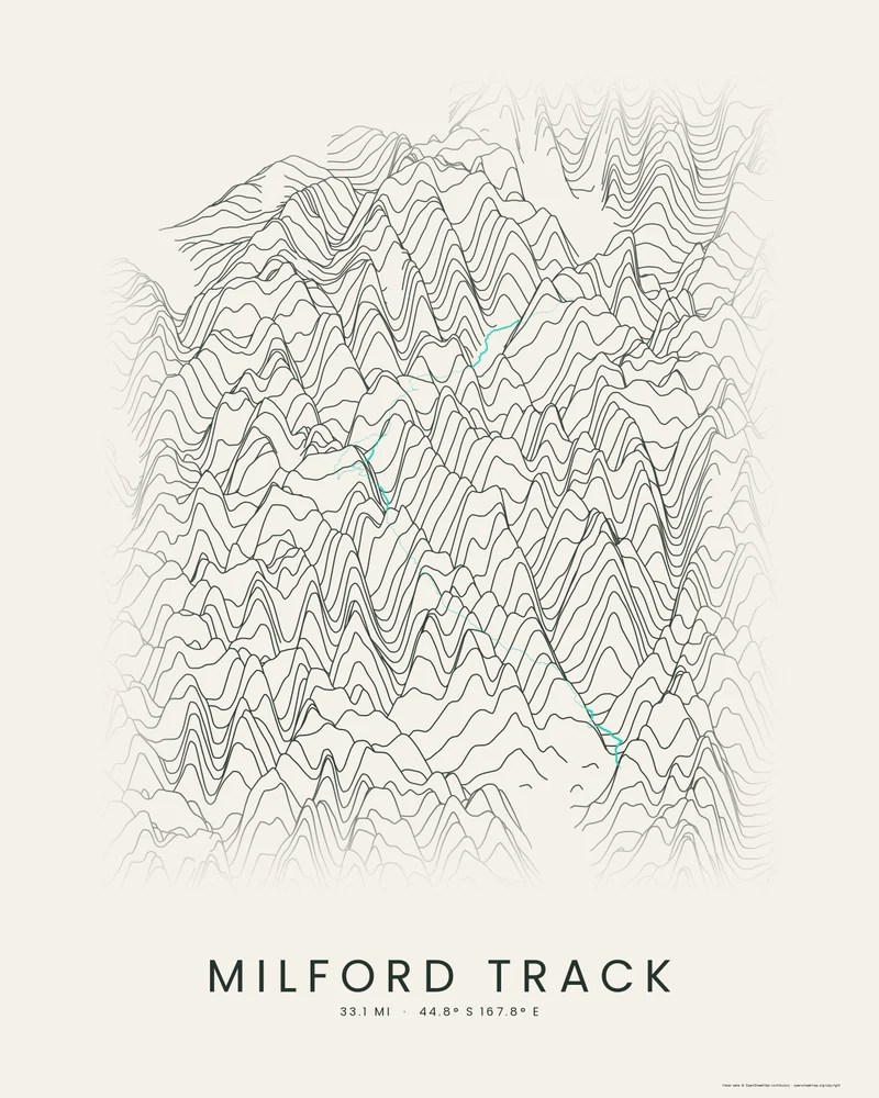
Ridgeline
Elevation lines trace the shape of the landscape around your route. A natural starting point for a hiking or cycling keepsake.
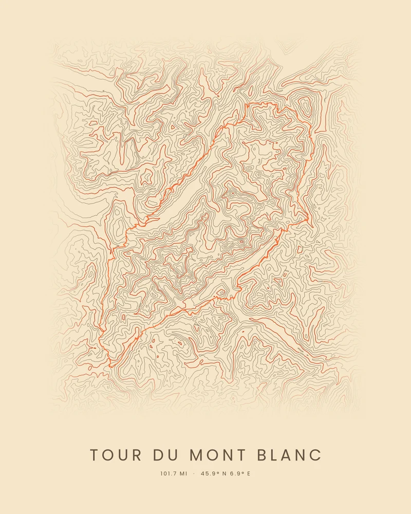
Contours
Fine topographic contour lines reveal the slopes, summits and valleys surrounding your trail.
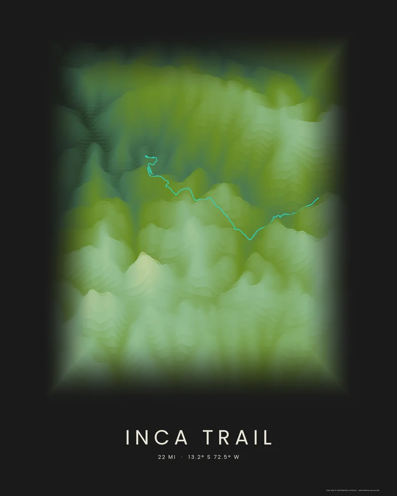
Strata
Elevation-banded ridgelines bring geological color palettes to your landscape.
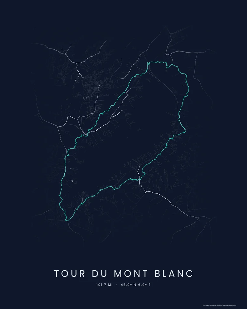
Watershed
Explore the rivers and streams flowing through the area around your route.
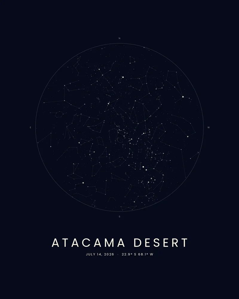
Celestial
Chart the stars over a place on a night worth remembering.
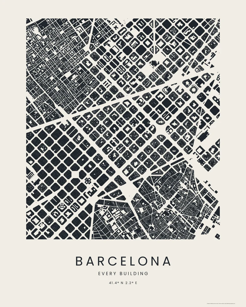
City
Map every building footprint and street along your route as ink, a watercolour wash, a blueprint or a street compass.
From a recorded route to printable art
- Step 1
Bring the miles
Export a GPX file from your GPS device or activity service and upload it. Use a route you know: a first summit, a regular run, or a long ride.
- Step 2
Find your style
Choose a poster style and refine it with a live preview. Different styles emphasize different parts of the landscape.
- Step 3
Make it yours
Download PNG, PDF or SVG. Print at home or take the file to a shop. You choose the paper and the frame.
Before you make your poster
Which file format should I choose?
PNG is convenient for sharing an image or using an image-based print workflow. PDF is useful for printing, and SVG can be opened in vector design tools. Ask your print shop which format and dimensions it accepts, and check the exported artwork before ordering.
Is the GPX to poster tool free?
Yes. Downloads are pay what you want, including free. You can choose to contribute when downloading if you would like to support Printed Canyon.
Can I start without a GPX file?
Yes. You can also start from a curated place, a country or US state, or a searched location. A GPX file is useful when you want your own recorded route on the poster.
Will you mail me a framed poster?
No. This is a digital download. You choose the paper, printing service and frame, and pay those providers separately.
Want to hold the landscape instead? Make a 3D terrain model and download STL, 3MF or GLB. For help with any format, contact Printed Canyon.