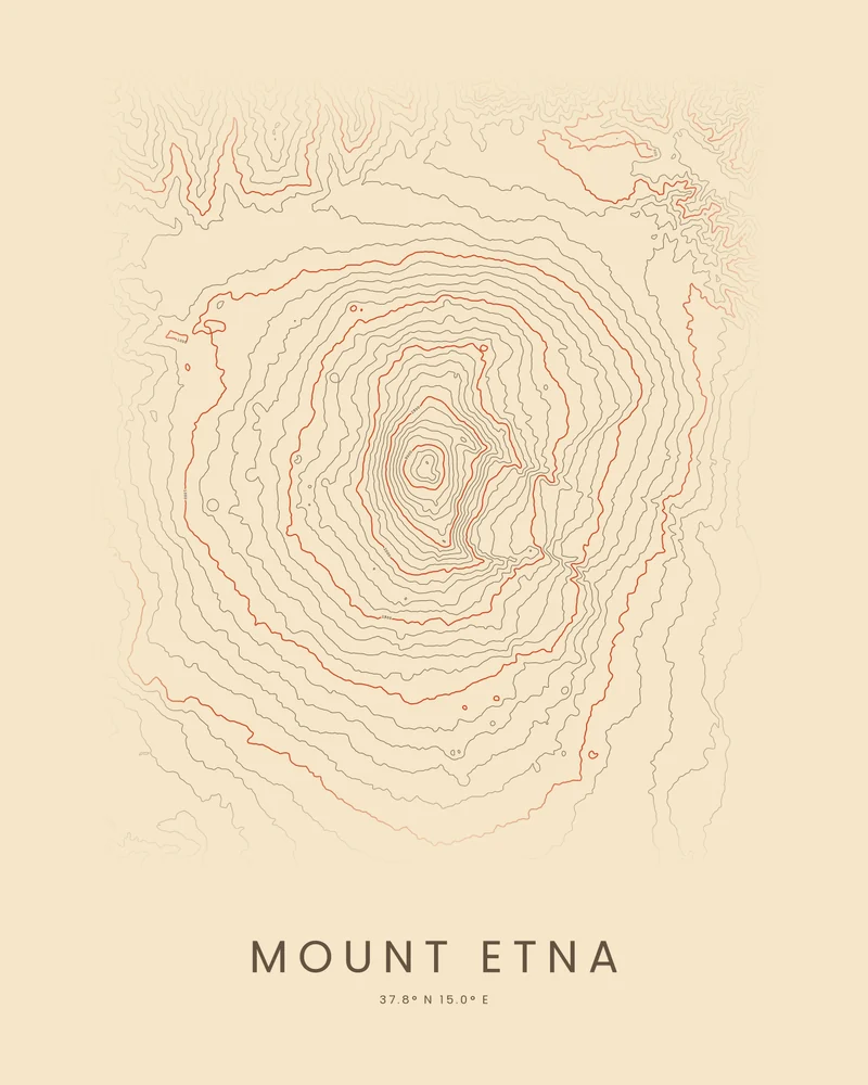
Mount Etna, on the east coast of Sicily, is one of the most active volcanoes in the world and the highest mountain on any Mediterranean island. Its summit stands more than 3,300 meters (10,800 feet) high, though the height changes with its eruptions. It was inscribed on the UNESCO World Heritage List in 2013.
The curated map area is about 35 by 33 kilometers, covering the whole volcano. In the Contours preview, the rings tighten toward the summit craters, and on the eastern flank the lines bend around the Valle del Bove, a huge horseshoe-shaped depression.
The preview is the Contours export for this map area, generated from public global elevation data. In the creator you can change the contour interval, colors and title, move the area, or switch to Ridgeline or Strata. Choose 3D Terrain Model to download the volcano as a printable STL or 3MF; the download credits the elevation source used.
- Starting point
- Map area
- Map area
- 37.60°–37.90° N, 14.80°–15.20° E
- Preview style
- Contours
- Poster files
- PNG, PDF and SVG at print resolution
- Model files
- STL, 3MF and GLB, when you choose the 3D terrain model
- Price
- Pay what you want, including free
What you can make from Mount Etna
Poster. Keep the Contours preview or switch to another poster style. Set the title, colors and size, then download PNG, PDF or SVG and print it yourself or through a print shop.
3D terrain model. Choose the 3D Terrain Model product to turn the same terrain into a printable relief. Adjust the model size, base and vertical exaggeration, preview it in the browser, then download STL or 3MF for your slicer.
Questions about the Mount Etna artwork
- Does the Mount Etna map show the latest eruption?
- No. The terrain comes from public elevation data captured years ago, so recent lava flows and changes to the summit craters may not appear. The artwork is not a hazard map or navigation guidance.
- Can I download this landscape as an STL file?
- Yes. Choose 3D Terrain Model in the creator to turn the same map area into a printable relief model. Download STL or 3MF, open it in your slicer, and check the scale for your printer.
- How much does it cost?
- Downloads are pay what you want, including free. You can add a contribution at checkout if the artwork or model is worth it to you. No account is needed.
- Do you ship a printed poster or a 3D print?
- No. Printed Canyon delivers digital files only: PNG, PDF and SVG for posters, and STL, 3MF and GLB for terrain models. You print them at home or through a print shop or 3D-printing service of your choice.
Want the conversion pages instead? See GPX to poster or GPX to STL.