The Teton Range rises more than 7,000 feet above the valley of Jackson Hole along the active Teton fault, from about 6,320 feet on the sagebrush flats to 13,770 feet on the summit of the Grand Teton. Congress created Grand Teton National Park on February 26, 1929, to protect the range and the lakes at its base; on September 14, 1950, the park was joined with Jackson Hole National Monument into a park of about 310,000 acres that takes in the valley floor and Jackson Lake.
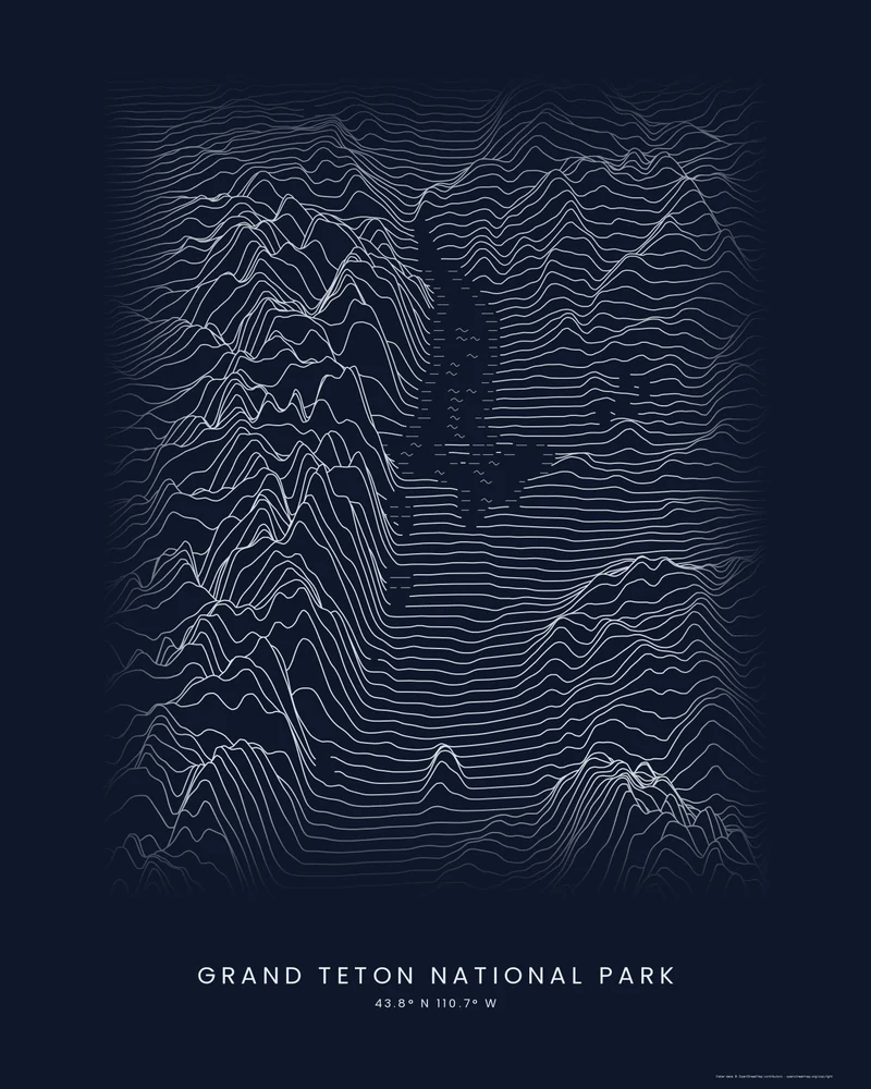
The curated map area is about 40 by 60 kilometers around the park. In the Ridgeline preview, the Tetons rise as a crowded wall of peaks along the left side of the frame, Jackson Lake shows as a patch of short wave marks beside them, and the flat floor of Jackson Hole fills the right side with long, nearly level lines.
The preview is the Ridgeline export for this map area, light lines on a dark background, generated from public elevation data. In the creator you can change line density, perspective, colors and title, or switch to Contours or Strata. Choose 3D Terrain Model to download the range as a printable STL or 3MF.
Park facts from the National Park Service: nature, creation of Grand Teton National Park.
- Starting point
- Map area
- Map area
- 43.58°–44.12° N, 110.45°–110.95° W
- Preview style
- Ridgeline
- Poster files
- PNG, PDF and SVG at print resolution
- Model files
- STL, 3MF and GLB, when you choose the 3D terrain model
- Price
- Pay what you want, including free
What you can make from Grand Teton National Park
Poster. Keep the Ridgeline preview or switch to another poster style. Set the title, colors and size, then download PNG, PDF or SVG and print it yourself or through a print shop.
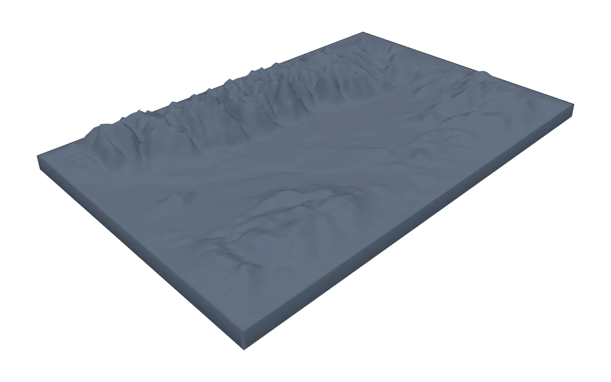
3D terrain model. Choose the 3D Terrain Model product to turn the same terrain into a printable relief. Adjust the model size, base and vertical exaggeration, preview it in the browser, then download STL or 3MF for your slicer.
Questions about the Grand Teton National Park artwork
- Why do the Tetons rise so abruptly from the valley?
- The range sits on the Teton fault: the mountain block has been lifted along it while the valley floor of Jackson Hole has dropped. There are no foothills between them, which is why the peaks rise more than 7,000 feet straight from the valley.
- Can I download this landscape as an STL file?
- Yes. Choose 3D Terrain Model in the creator to turn the same map area into a printable relief model. Download STL or 3MF, open it in your slicer, and check the scale for your printer.
- How much does it cost?
- Downloads are pay what you want, including free. You can add a contribution at checkout if the artwork or model is worth it to you. No account is needed.
- Do you ship a printed poster or a 3D print?
- No. Printed Canyon delivers digital files only: PNG, PDF and SVG for posters, and STL, 3MF and GLB for terrain models. You print them at home or through a print shop or 3D-printing service of your choice.
See every park ready to customize in national park map posters.
Related tools: 3D printed maps, 3D printed topographic maps, the contour map generator, GPX to poster and GPX to STL.