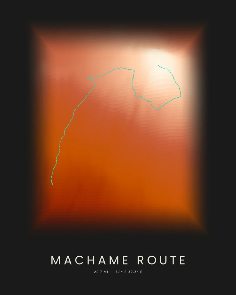
The Machame Route climbs Kilimanjaro from the south-west. It starts at Machame Gate in the rainforest, crosses the Shira Plateau, passes the Lava Tower and the Barranco Wall, and usually reaches the summit at Uhuru Peak, 5,895 meters (19,340 feet), the highest point in Africa, in six or seven days. Climbers normally descend by the Mweka Route.
The bundled track is joined from the OpenStreetMap hiking route relation for the Machame Route, © OpenStreetMap contributors under the Open Database License, and runs from the gate to the summit. In the Strata preview, it climbs through the bands of the mountain's south-western slopes to the crater rim of Kibo in the lightest bands.
The track is artwork, not navigation guidance. Climbers on Kilimanjaro must go with a licensed guide, and Kilimanjaro National Park sets its own fees and rules. In the creator you can change the palette, highlight color and title, or switch to Ridgeline or Contours, and choose 3D Terrain Model to emboss the route on a printable model of the mountain; the download credits the elevation source used.
- Starting point
- OpenStreetMap hiking route
- Preview style
- Strata
- Poster files
- PNG, PDF and SVG at print resolution
- Model files
- STL, 3MF and GLB, when you choose the 3D terrain model
- Price
- Pay what you want, including free
What you can make from Machame Route
Poster. Keep the Strata preview or switch to another poster style. Set the title, colors and size, then download PNG, PDF or SVG and print it yourself or through a print shop.
3D terrain model. Choose the 3D Terrain Model product to turn the same terrain into a printable relief. Adjust the model size, base and vertical exaggeration, preview it in the browser, then download STL or 3MF for your slicer.
Route. The bundled trail is an OpenStreetMap hiking route, joined into one track and highlighted on the terrain. Bundled routes are artwork inputs, not navigation guidance. Upload your own GPX file to replace it with your recorded hike.
Questions about the Machame Route artwork
- Do I need a guide to climb the Machame Route?
- Yes. Kilimanjaro National Park requires every climber to go with a licensed guide, and most climbs are booked through a registered operator. Check the park's current rules before you plan; this poster is artwork, not trip guidance.
- Can I use my own hike instead of the bundled route?
- Yes. Upload a GPX file from Strava, AllTrails, Garmin or another service and your recorded track replaces the bundled one. The bundled track is joined from an OpenStreetMap hiking route, © OpenStreetMap contributors under the Open Database License, and it is artwork, not navigation guidance.
- Can I 3D print this trail as a terrain model?
- Yes. In the creator, switch the product to 3D Terrain Model. The route is embossed on the surrounding terrain, and you can adjust the model size, terrain extent and vertical exaggeration before downloading STL or 3MF.
- How much does it cost?
- Downloads are pay what you want, including free. You can add a contribution at checkout if the artwork or model is worth it to you. No account is needed.
Want the conversion pages instead? See GPX to poster or GPX to STL.