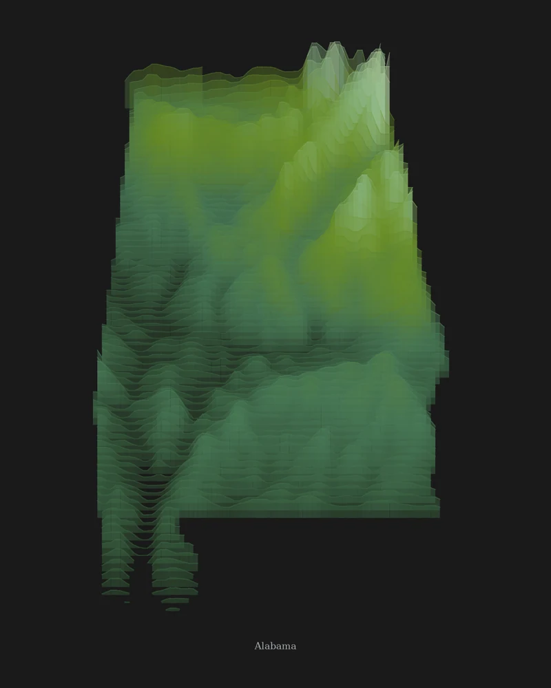
Alabama is usually divided into five physiographic sections. The Cumberland Plateau, the Highland Rim, the Valley and Ridge and the Piedmont Upland carry the southern end of the Appalachian Highlands across the north and east, and the East Gulf Coastal Plain covers the south, reaching the Gulf of Mexico at Mobile Bay.
Cheaha Mountain in Cleburne County is the highest point at 2,405 feet (733 m), and the Gulf of Mexico is the lowest, at sea level. In the Strata preview, the ridges of the northeast take the palest greens of the forest palette, and the bands deepen as the land falls away across the Coastal Plain.
The preview is the Strata export for Alabama with the forest palette at 18 × 24 inches. The tall outline fills much of the portrait frame; open it in the creator to change the palette, background, title and vertical exaggeration, or switch to Ridgeline, Contours or a 3D terrain model.
- Starting point
- US state
- Boundary
- AL
- Preview style
- Strata
- Poster files
- PNG, PDF and SVG at print resolution
- Model files
- STL, 3MF and GLB, when you choose the 3D terrain model
- Price
- Pay what you want, including free
What you can make from Alabama
Poster. Keep the Strata preview or switch to another poster style. Set the title, colors and size, then download PNG, PDF or SVG and print it yourself or through a print shop.
3D terrain model. Choose the 3D Terrain Model product to turn the same state into a printable relief. Adjust the model size, base and vertical exaggeration, preview it in the browser, then download STL or 3MF for your slicer.
Questions about the Alabama artwork
- Can I make a map of just the northern Alabama mountains?
- Yes. The whole-state view keeps the ridges to the northeast. Search a place such as Cheaha State Park or Little River Canyon in the creator to fill the poster with the Appalachian foothills.
- Can I make a 3D-printable model of the whole state?
- Yes. Switch the product to 3D Terrain Model in the creator to preview the state as a relief model and download STL, 3MF or GLB. Choose a model size that fits your printer and check the slicer preview before printing.
- How much does it cost?
- Downloads are pay what you want, including free. You can add a contribution at checkout if the artwork or model is worth it to you. No account is needed.
- Do you ship a printed poster or a 3D print?
- No. Printed Canyon delivers digital files only: PNG, PDF and SVG for posters, and STL, 3MF and GLB for terrain models. You print them at home or through a print shop or 3D-printing service of your choice.
Want the conversion pages instead? See GPX to poster or GPX to STL.