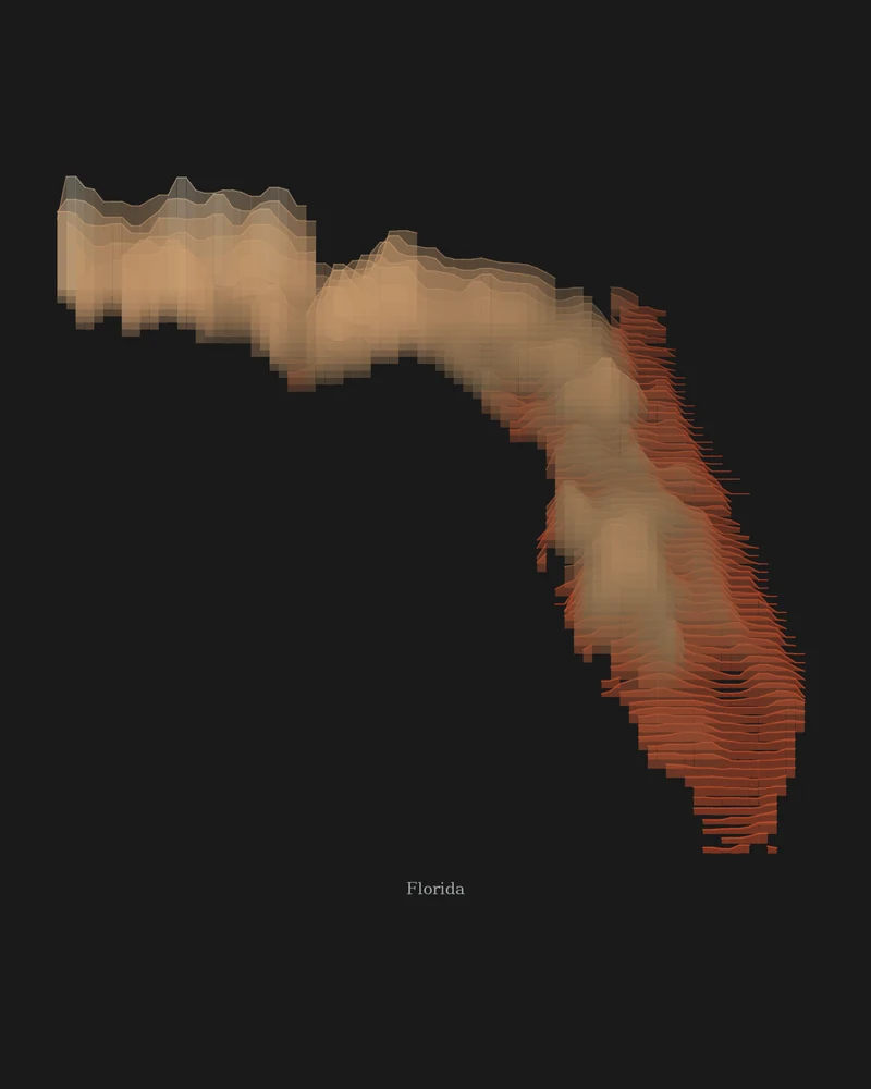
Florida's highest point, Britton Hill in Walton County in the Panhandle, is only 345 feet (105 m) above sea level, and its lowest is sea level along the Atlantic. What relief there is comes as low uplands and ridges, such as the Lake Wales Ridge, an upland of sinkhole lakes in central Florida.
Relief this low is subtle, and the preview does not pretend otherwise. Strata spreads Florida's own narrow elevation range across the palette, so the Panhandle and the central uplands take the pale bands and the southern peninsula settles into red. In Strata, Ridgeline or a 3D model, the vertical exaggeration setting decides how tall those rises stand; at true scale they would look nearly flat.
The preview is the Strata export for Florida with the canyon palette at 18 × 24 inches. In the creator you can change the palette, background and title, raise the vertical exaggeration, or switch to Ridgeline, Contours or a 3D terrain model of the state.
- Starting point
- US state
- Boundary
- FL
- Preview style
- Strata
- Poster files
- PNG, PDF and SVG at print resolution
- Model files
- STL, 3MF and GLB, when you choose the 3D terrain model
- Price
- Pay what you want, including free
What you can make from Florida
Poster. Keep the Strata preview or switch to another poster style. Set the title, colors and size, then download PNG, PDF or SVG and print it yourself or through a print shop.
3D terrain model. Choose the 3D Terrain Model product to turn the same state into a printable relief. Adjust the model size, base and vertical exaggeration, preview it in the browser, then download STL or 3MF for your slicer.
Questions about the Florida artwork
- Is Florida too flat for a 3D-printed map?
- It prints, but gently. With 345 feet between the highest ground and the sea, a true-scale model would look almost smooth. Increase the vertical exaggeration in the creator, check the 3D preview, and expect soft rises rather than mountains.
- Can I make a 3D-printable model of the whole state?
- Yes. Switch the product to 3D Terrain Model in the creator to preview the state as a relief model and download STL, 3MF or GLB. Choose a model size that fits your printer and check the slicer preview before printing.
- How much does it cost?
- Downloads are pay what you want, including free. You can add a contribution at checkout if the artwork or model is worth it to you. No account is needed.
- Do you ship a printed poster or a 3D print?
- No. Printed Canyon delivers digital files only: PNG, PDF and SVG for posters, and STL, 3MF and GLB for terrain models. You print them at home or through a print shop or 3D-printing service of your choice.
Want the conversion pages instead? See GPX to poster or GPX to STL.