Tokyo · Race day Sunday, March 7, 2027
Shinjuku to Tokyo Station. One line.
The whole 42.195 km Tokyo Marathon course, from the Metropolitan Government Building in Shinjuku to the finish in front of Tokyo Station, drawn over every building in the city. Make it a City poster in four styles or a 3D model with the skyline on it, with your name and finish time under it. Pay what you want.
26.3 mi of track
Printed Canyon is an independent map-art studio with no connection to the race organiser or its sponsors. The race name describes the course drawn here; the organiser's course page has the official map.
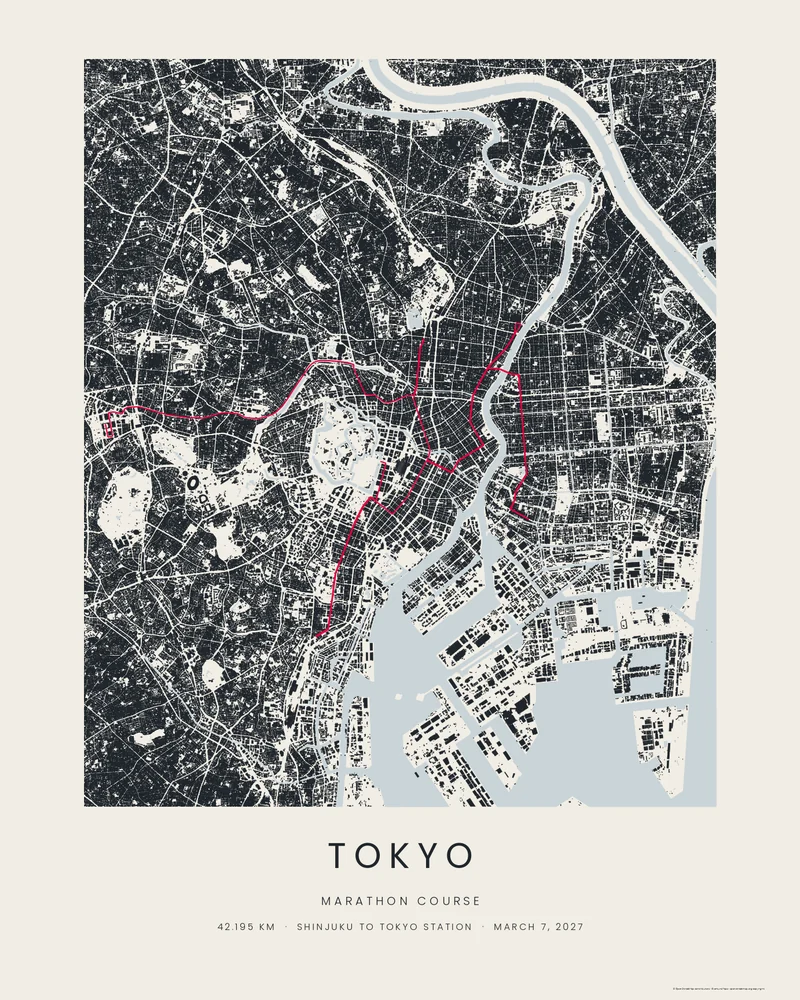
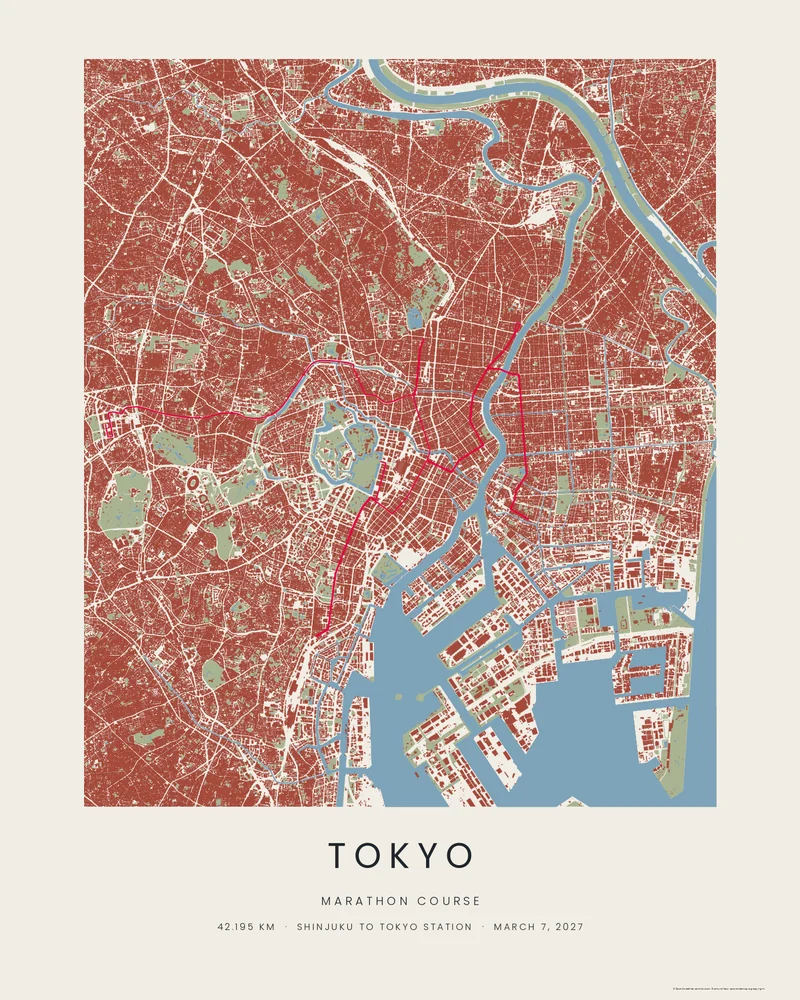
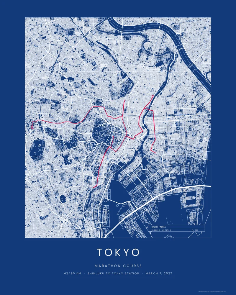
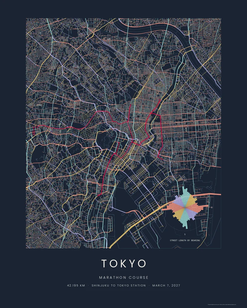
One course, four City styles
Every building in central Tokyo, and the line through them.
The City styles draw the city itself rather than its terrain: every building footprint, the water and the streets. The course keeps its colour in every one. Open any style with your name and time already set.
The whole course in 3D
One base, the whole course, and Tokyo's towers beside it.
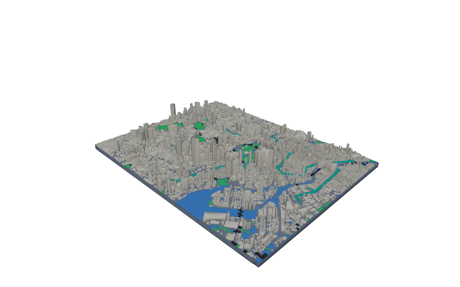
The Sumida River, the canals and Tokyo Bay as water, the Imperial Palace gardens and the parks as greenery, the expressways as raised strips, and the city's blocks as crisp slabs at the height of their tallest buildings, from the towers of Shinjuku to Marunouchi beside the finish. The course runs over all of it as one embossed line, with its elevation profile on the front wall.
- Printable STL, or 3MF with buildings, water, greenery, roads and the course as named parts for a multi-colour print.
- Set the size for your printer; 250 mm fits most beds and prints the course at about 1:45,000.
- Turn the buildings off for a plain relief, or raise them further with the building height setting.
Your race on the print
Add your name, your half and your finish.
Type your half split, your finish time and, if you like, your bib number. The studio opens with them set as the caption under the course, ready to adjust, recolour and download.
Ran it yourself? Upload the GPX from your watch and your own line replaces the bundled course, wave start and all; the caption fields work the same way.
The course
Three turns, two river crossings, one finish line.
The course starts below the Tokyo Metropolitan Government Building in Shinjuku and runs east through Ichigaya, Iidabashi, Kanda and Akihabara to its first turn at Ueno-hirokoji. It comes back to Nihonbashi, runs north along the Sumida River to Asakusa, crosses the river at Kuramae Bridge into Ryogoku and turns at Tomioka Hachimangu shrine in Monzen-nakacho. The last third runs through Ginza and Hibiya to a turn at Tamachi Station, then back past the Imperial Palace to the finish on Gyoko-dori in front of Tokyo Station.
Course figures from the organiser's course page. The bundled course is the organiser's course as plotted by goandrace.com, an independent race calendar, bundled unchanged and checked against the organiser's course map. It is artwork, not an official course file or navigation guidance. Track geometry published by goandrace.com and bundled unchanged.
- Distance
- 42.195 km (26.2 mi), Shinjuku to Tokyo Station
- Start
- Tokyo Metropolitan Government Building No. 1, Shinjuku
- Turning points
- Ueno-hirokoji at 10.6 km, Tomioka Hachimangu at 23.95 km, Tamachi Station at 37.5 km
- Race day
- Sunday, March 7, 2027
- The 2027 race
- The race's twentieth anniversary; the bundled 2025 plot matches the turns on the organiser's 2027 course page
- Finish
- Wadakura-mon on Gyoko-dori, in front of Tokyo Station
Tokyo Marathon poster questions
Can I print my own Tokyo Marathon?
Yes. Type your name and times into the form and the studio writes them under the course. For your exact line, upload the GPX your watch recorded instead; the bundled course is replaced by your file and the caption stays editable.
Is this an official race product?
No. Printed Canyon is an independent map-art studio with no connection to the race organiser or its sponsors. The course line follows the organiser's published course, and we sell only our own map art.
How accurate is the course line?
It is the organiser's course as plotted by goandrace.com, an independent race calendar, bundled unchanged and checked against the organiser's course map: the start, the finish and the turns and landmarks the organiser names all match. Drawn along road centrelines it measures about 42.3 km, a little longer than the certified 42.195 km, which is normal for a course plot.
What do I get, and what does it cost?
Print-ready PNG, PDF and SVG files for a poster, or STL, 3MF and GLB for the 3D city model. Downloads are pay what you want, including free, with no account.
Which City style suits the course best?
Footprints shows central Tokyo as a dense field of ink with the course cut through it. Wash adds the rivers, brick and parks in colour. Blueprint draws every street in white on Prussian blue with a title block, and Street Compass colours the streets by the way they run, which picks out the grids of Ginza and Nihonbashi. Switch between them in the studio with one click.
How does the whole course fit on a 3D model with buildings?
The model covers about 11 by 9 km on one base. The rivers and parks are drawn as their own parts, the major roads as raised strips, and the buildings as their city blocks: each block is a crisp slab at the height of its tallest building, with the streets left as gaps. The course is embossed on top and never covered.
The course file is also on the sample GPX files page (download the GPX), and every place we have drawn is on Places.