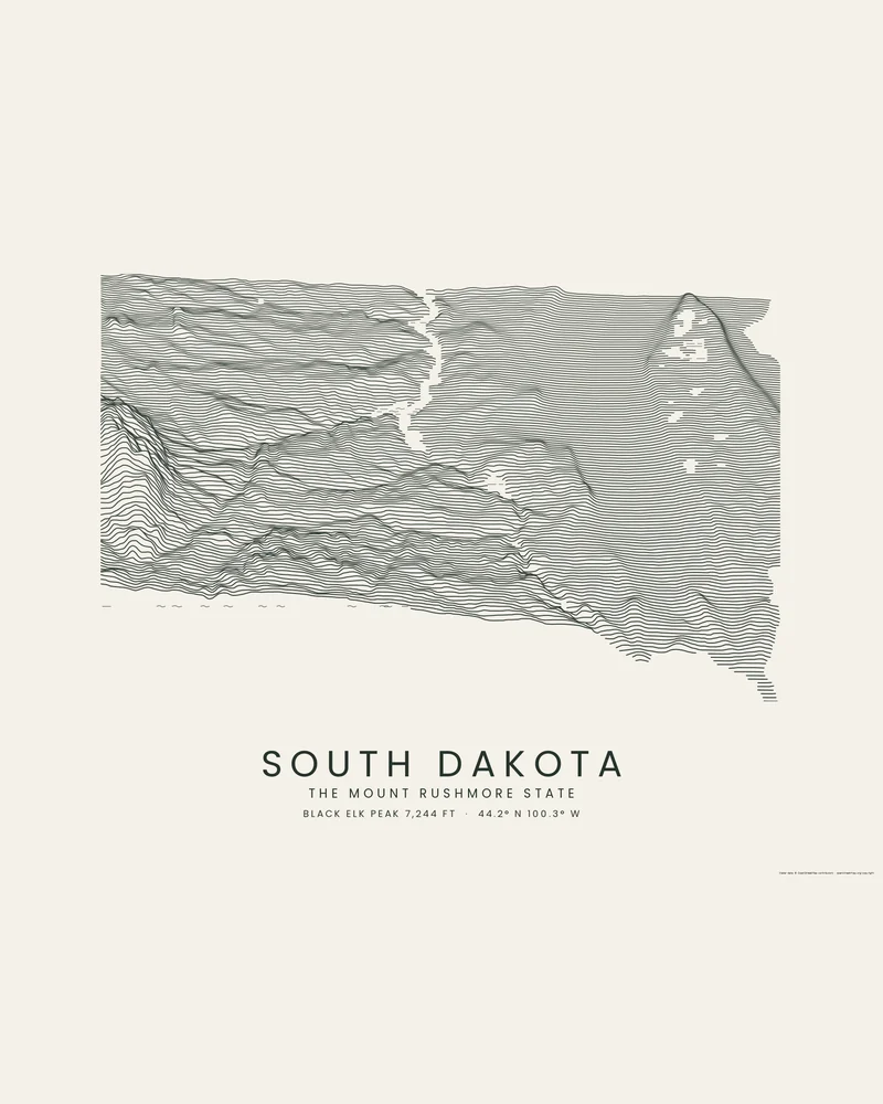
The Missouri River divides South Dakota into the rolling, glaciated prairie of the east and the drier plains of the west. In the far west, the Black Hills rise as an isolated dome of granite and forest; Black Elk Peak, the highest point at 7,242 feet (2,207 m), stands among them near Mount Rushmore. The Badlands lie east of the hills, and the lowest point is Big Stone Lake on the Minnesota line, at 966 feet (294 m).
In the Ridgeline preview, the Black Hills rise as steep, crowded crests at the left edge, the Missouri River and its reservoirs run down the middle as a narrow blank channel, and the glacial lakes of the northeast show as small gaps at the upper right, where the Coteau des Prairies lifts the lines once more.
The preview is the Ridgeline export for South Dakota with dark lines on light paper, on a 24 × 18 inch landscape sheet. In the creator you can adjust line density, perspective, colors and title, or switch to Contours, Strata or a 3D model.
- Starting point
- US state
- Boundary
- SD
- Preview style
- Ridgeline
- Poster files
- PNG, PDF and SVG at print resolution
- Model files
- STL, 3MF and GLB, when you choose the 3D terrain model
- Price
- Pay what you want, including free
South Dakota elevation
- Highest point
- Black Elk Peak, 7,242 ft (2,207 m)
- Lowest point
- Big Stone Lake, 966 ft (294 m)
- Mean elevation
- About 2,200 ft (671 m)
Source: U.S. Census Bureau, Statistical Abstract of the United States: 2012, Table 366, from U.S. Geological Survey figures. Meters are converted from feet and rounded; recent surveys can differ by a few feet.
What you can make from South Dakota
Poster. Keep the Ridgeline preview or switch to another poster style. Set the title, colors and size, then download PNG, PDF or SVG and print it yourself or through a print shop.
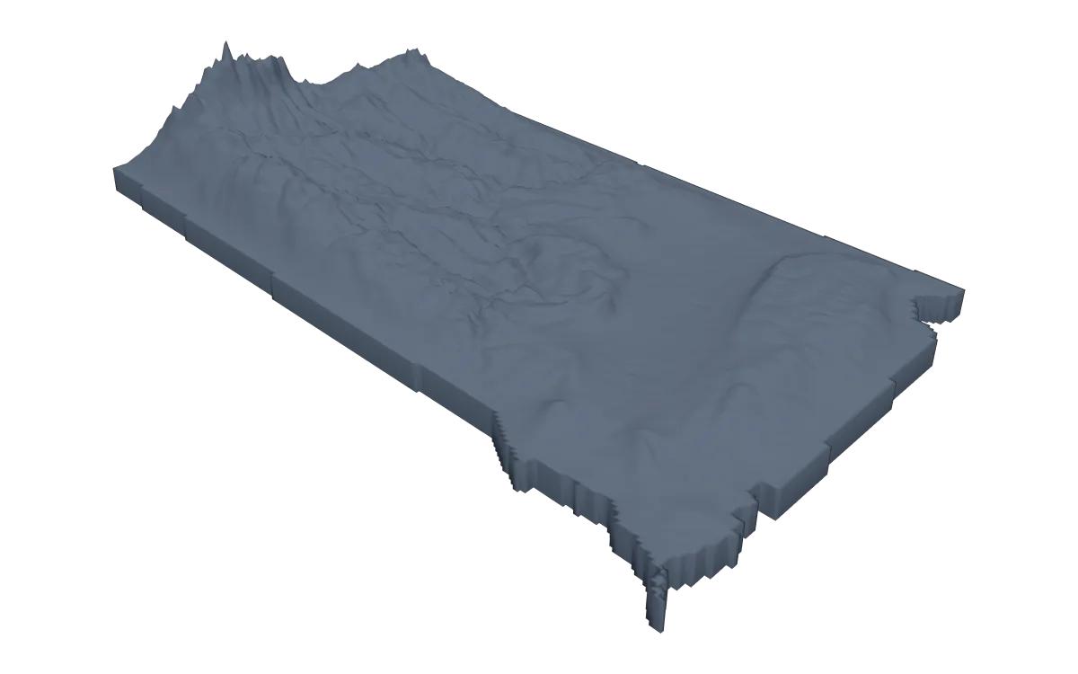
3D terrain model. Choose the 3D Terrain Model product to turn the same state into a printable relief. Adjust the model size, base and vertical exaggeration, preview it in the browser, then download STL or 3MF for your slicer.
Questions about the South Dakota artwork
- Can I make a poster of the Black Hills or Badlands National Park?
- Yes. Search the Black Hills, Mount Rushmore or Badlands National Park in the creator, or draw your own area, to fill the poster with that landscape instead of a corner of the state.
- Can I make a 3D-printable model of the whole state?
- Yes. Switch the product to 3D Terrain Model in the creator to preview the state as a relief model and download STL, 3MF or GLB. Choose a model size that fits your printer and check the slicer preview before printing.
- How much does it cost?
- Downloads are pay what you want, including free. You can add a contribution at checkout if the artwork or model is worth it to you. No account is needed.
- Do you ship a printed poster or a 3D print?
- No. Printed Canyon delivers digital files only: PNG, PDF and SVG for posters, and STL, 3MF and GLB for terrain models. You print them at home or through a print shop or 3D-printing service of your choice.
Related tools: 3D printed maps, 3D printed topographic maps, the contour map generator, GPX to poster and GPX to STL.