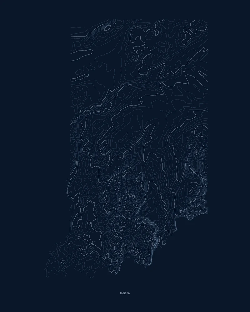
Glaciers shaped most of Indiana. The Indiana Geological and Water Survey divides the state into three physiographic regions: the Northern Moraine and Lake Region, the Central Till Plain, and the Southern Hills and Lowlands, where the most recent ice sheet stopped short and karst features such as sinkholes and caves are common.
Hoosier Hill in Wayne County is the highest point at 1,257 feet (383 m), and the lowest is 320 feet (98 m), where the Wabash River meets the Ohio. In the Contours preview, the till plains open into wide, calm lines, and the south breaks into dense, winding loops along the valleys that drain to the Ohio River.
The preview is the Contours export for Indiana on a dark background at 18 × 24 inches. In the creator you can change the contour interval, colors and title, or switch to Ridgeline, Strata or a 3D terrain model and raise the vertical exaggeration to bring the southern hills forward.
- Starting point
- US state
- Boundary
- IN
- Preview style
- Contours
- Poster files
- PNG, PDF and SVG at print resolution
- Model files
- STL, 3MF and GLB, when you choose the 3D terrain model
- Price
- Pay what you want, including free
What you can make from Indiana
Poster. Keep the Contours preview or switch to another poster style. Set the title, colors and size, then download PNG, PDF or SVG and print it yourself or through a print shop.
3D terrain model. Choose the 3D Terrain Model product to turn the same state into a printable relief. Adjust the model size, base and vertical exaggeration, preview it in the browser, then download STL or 3MF for your slicer.
Questions about the Indiana artwork
- Will Indiana's hills show up on a 3D print?
- Gently. About 940 feet separates the Ohio River from Hoosier Hill, which is small across a whole state. Increase the vertical exaggeration in the creator and check the 3D preview before you download.
- Can I make a 3D-printable model of the whole state?
- Yes. Switch the product to 3D Terrain Model in the creator to preview the state as a relief model and download STL, 3MF or GLB. Choose a model size that fits your printer and check the slicer preview before printing.
- How much does it cost?
- Downloads are pay what you want, including free. You can add a contribution at checkout if the artwork or model is worth it to you. No account is needed.
- Do you ship a printed poster or a 3D print?
- No. Printed Canyon delivers digital files only: PNG, PDF and SVG for posters, and STL, 3MF and GLB for terrain models. You print them at home or through a print shop or 3D-printing service of your choice.
Want the conversion pages instead? See GPX to poster or GPX to STL.