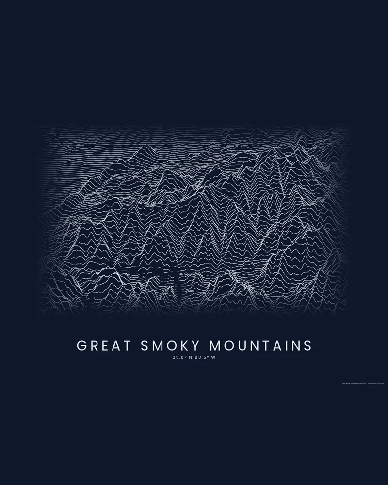
Great Smoky Mountains National Park, founded in 1934, covers 522,427 acres (about 800 square miles) split almost evenly between Tennessee and North Carolina, and the National Park Service counted more than 12 million recreation visits in 2024, the most of any national park. Its elevation runs from about 875 feet at the mouth of Abrams Creek to 6,643 feet on Kuwohi, formerly Clingmans Dome, and sixteen peaks top 6,000 feet. The park's name comes from the haze that often hangs over the ridges; the Cherokee called the range Shaconage, land of blue smoke.
The curated map area is a rectangle of about 97 by 44 kilometers around the park, so it also takes in land outside it. In the Ridgeline preview, the main crest of the Smokies, which carries the Appalachian Trail along the state line, rises through the middle of the frame as a wall of tall peaks, with lower ridges stacked in front and behind it.
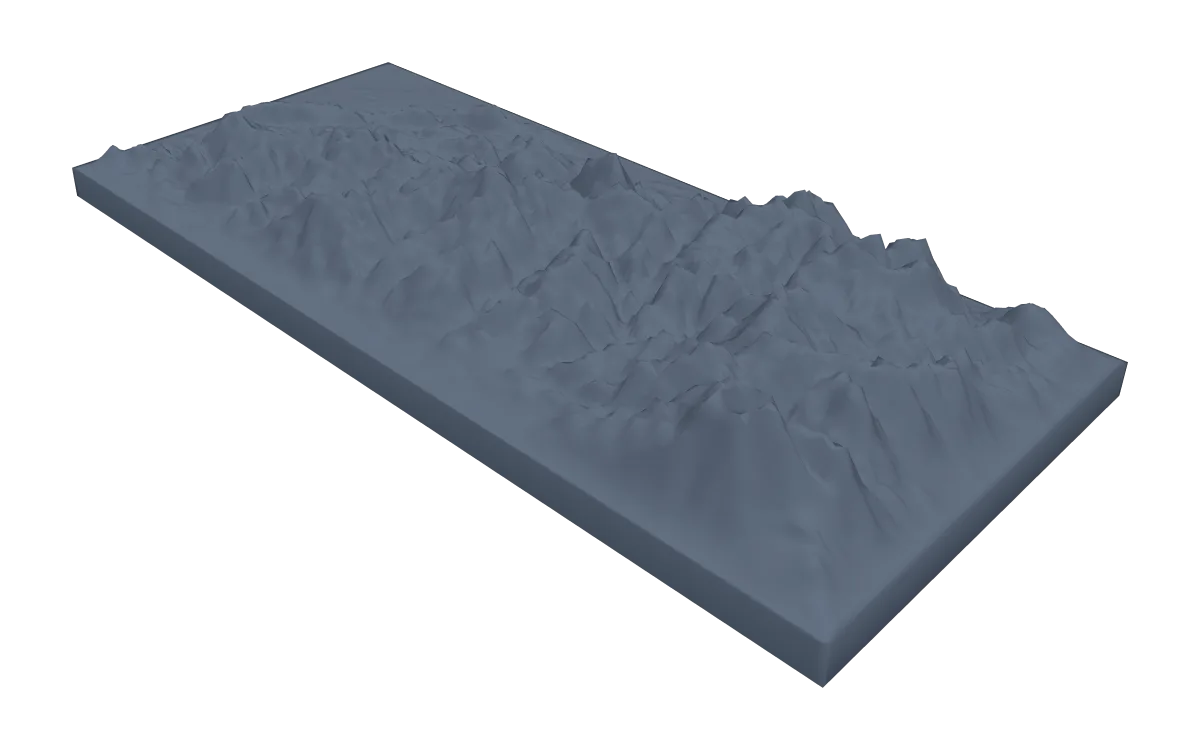
The preview is the Ridgeline export for this map area on a 24 × 18 inch landscape sheet, light lines on a dark background, generated from public elevation data. In the creator you can change line density, perspective, colors and title, or switch to Contours or Strata. Choose 3D Terrain Model to download the park as a printable STL or 3MF; the download credits the elevation source used.
Park facts from the National Park Service: park statistics, frequently asked questions.
- Starting point
- Map area
- Map area
- 35.42°–35.82° N, 82.98°–84.05° W
- Preview style
- Ridgeline
- Poster files
- PNG, PDF and SVG at print resolution
- Model files
- STL, 3MF and GLB, when you choose the 3D terrain model
- Price
- Pay what you want, including free
What you can make from Great Smoky Mountains
Poster. Keep the Ridgeline preview or switch to another poster style. Set the title, colors and size, then download PNG, PDF or SVG and print it yourself or through a print shop.
3D terrain model. Choose the 3D Terrain Model product to turn the same terrain into a printable relief. Adjust the model size, base and vertical exaggeration, preview it in the browser, then download STL or 3MF for your slicer.
Questions about the Great Smoky Mountains artwork
- Can I add my Appalachian Trail or Alum Cave hike to the poster?
- Yes, from your own GPX file. This page has no bundled route; upload the track you recorded and the creator draws it on the terrain. The park has 848 miles of trail, including 74 miles of the Appalachian Trail. The artwork is not navigation guidance.
- Can I download this landscape as an STL file?
- Yes. Choose 3D Terrain Model in the creator to turn the same map area into a printable relief model. Download STL or 3MF, open it in your slicer, and check the scale for your printer.
- How much does it cost?
- Downloads are pay what you want, including free. You can add a contribution at checkout if the artwork or model is worth it to you. No account is needed.
- Do you ship a printed poster or a 3D print?
- No. Printed Canyon delivers digital files only: PNG, PDF and SVG for posters, and STL, 3MF and GLB for terrain models. You print them at home or through a print shop or 3D-printing service of your choice.
See every park ready to customize in national park map posters.
Related tools: 3D printed maps, 3D printed topographic maps, the contour map generator, GPX to poster and GPX to STL.