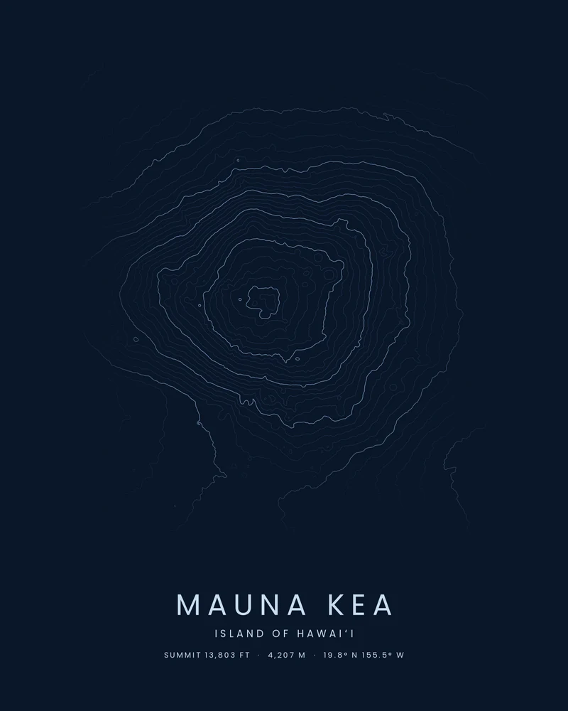
Mauna Kea is the highest point in Hawaiʻi at 13,803 feet (4,207 m). It is a dormant shield volcano on the Island of Hawaiʻi, last active more than 4,000 years ago, and its summit is crowded with cinder cones. The summit is sacred in Native Hawaiian tradition and is also home to a cluster of astronomical observatories.
The curated map area is about 34 by 28 kilometers around the summit. In the Contours preview, the summit shows as a small knot of rings near the center, the rings spread wide across the gentle upper slopes, and the lines bend away to the south toward the saddle between Mauna Kea and Mauna Loa.
The preview is the Contours export for this map area at 18 × 24 inches, generated from public elevation data. In the creator you can change the contour interval, colors and title, or switch to Ridgeline or Strata. Choose 3D Terrain Model to download the mountain as a printable STL or 3MF; the download credits the elevation source used.
- Starting point
- Map area
- Map area
- 19.70°–19.95° N, 155.30°–155.62° W
- Preview style
- Contours
- Poster files
- PNG, PDF and SVG at print resolution
- Model files
- STL, 3MF and GLB, when you choose the 3D terrain model
- Price
- Pay what you want, including free
What you can make from Mauna Kea
Poster. Keep the Contours preview or switch to another poster style. Set the title, colors and size, then download PNG, PDF or SVG and print it yourself or through a print shop.
3D terrain model. Choose the 3D Terrain Model product to turn the same terrain into a printable relief. Adjust the model size, base and vertical exaggeration, preview it in the browser, then download STL or 3MF for your slicer.
Questions about the Mauna Kea artwork
- Is Mauna Kea taller than Mount Everest?
- Measured from base to summit, yes. Mauna Kea rises more than 33,000 feet (10,000 m) from its base on the Pacific seafloor, but only 13,803 feet above sea level. Mount Everest is the highest mountain above sea level at 29,032 feet (8,849 m).
- Can I download this landscape as an STL file?
- Yes. Choose 3D Terrain Model in the creator to turn the same map area into a printable relief model. Download STL or 3MF, open it in your slicer, and check the scale for your printer.
- How much does it cost?
- Downloads are pay what you want, including free. You can add a contribution at checkout if the artwork or model is worth it to you. No account is needed.
- Do you ship a printed poster or a 3D print?
- No. Printed Canyon delivers digital files only: PNG, PDF and SVG for posters, and STL, 3MF and GLB for terrain models. You print them at home or through a print shop or 3D-printing service of your choice.
Want the conversion pages instead? See GPX to poster or GPX to STL.