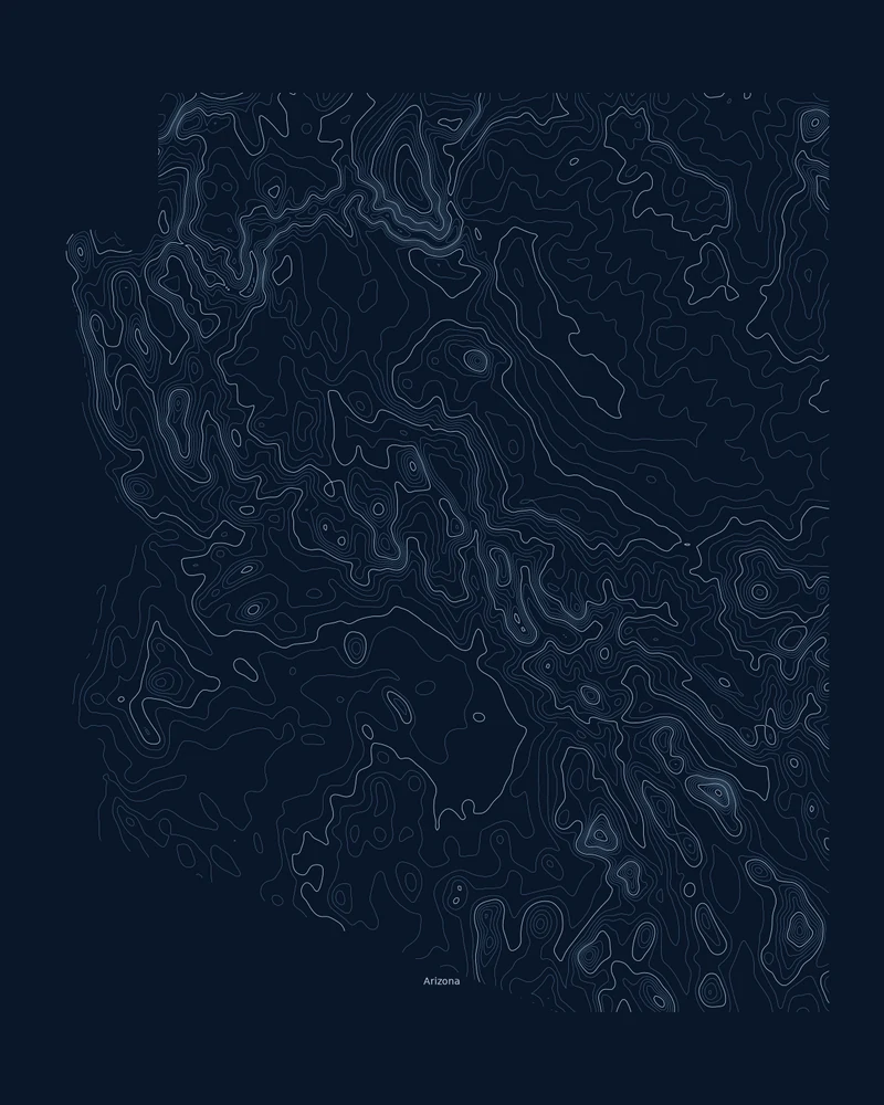
Arizona spans two major physiographic provinces: the Colorado Plateau across the north and the Basin and Range to the south and west, with a Transition Zone between them. The Grand Canyon cuts into the plateau, while the Basin and Range breaks the rest of the state into mountain ranges separated by broad desert valleys.
Humphreys Peak in the San Francisco Peaks is the state's highest point at 12,633 feet (3,851 m), and the Colorado River in Yuma County is the lowest at 70 feet (21 m). In the Contours preview, the canyon country in the north and the ranges in the southeast pack the tightest lines, while the low southwestern desert opens into wide spacing.
The preview is the Contours export for Arizona on a dark background at 18 × 24 inches, and the state nearly fills the portrait frame. In the creator you can set a fixed contour interval instead of the automatic one, change the colors and title, or switch to Strata, Ridgeline or a 3D terrain model.
- Starting point
- US state
- Boundary
- AZ
- Preview style
- Contours
- Poster files
- PNG, PDF and SVG at print resolution
- Model files
- STL, 3MF and GLB, when you choose the 3D terrain model
- Price
- Pay what you want, including free
What you can make from Arizona
Poster. Keep the Contours preview or switch to another poster style. Set the title, colors and size, then download PNG, PDF or SVG and print it yourself or through a print shop.
3D terrain model. Choose the 3D Terrain Model product to turn the same state into a printable relief. Adjust the model size, base and vertical exaggeration, preview it in the browser, then download STL or 3MF for your slicer.
Questions about the Arizona artwork
- Is the Grand Canyon visible on the Arizona map?
- Yes, as a dense knot of contour lines in the north, but at state scale it is a small part of the picture. For a poster centered on the canyon, start from the Grand Canyon place page, which uses a much smaller map area.
- Can I make a 3D-printable model of the whole state?
- Yes. Switch the product to 3D Terrain Model in the creator to preview the state as a relief model and download STL, 3MF or GLB. Choose a model size that fits your printer and check the slicer preview before printing.
- How much does it cost?
- Downloads are pay what you want, including free. You can add a contribution at checkout if the artwork or model is worth it to you. No account is needed.
- Do you ship a printed poster or a 3D print?
- No. Printed Canyon delivers digital files only: PNG, PDF and SVG for posters, and STL, 3MF and GLB for terrain models. You print them at home or through a print shop or 3D-printing service of your choice.
Want the conversion pages instead? See GPX to poster or GPX to STL.