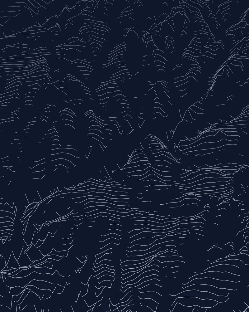
The curated area covers Yosemite Valley from the western gateway past El Capitan to Half Dome and the Merced River canyon. Ridgeline art draws each row as an elevation profile, so the sheer valley walls become abrupt steps in the lines and the flat valley floor stays quiet between them.
The preview is the Ridgeline export for this map area. It is also the example used in the guide to making map art without a GPX file. Open it in the creator to adjust the line density, colors, perspective and title, or switch to Contours, Strata or a 3D terrain model.
- Starting point
- Map area
- Map area
- 37.68°–37.81° N, 119.48°–119.72° W
- Preview style
- Ridgeline
- Poster files
- PNG, PDF and SVG at print resolution
- Model files
- STL, 3MF and GLB, when you choose the 3D terrain model
- Price
- Pay what you want, including free
What you can make from Yosemite Valley
Poster. Keep the Ridgeline preview or switch to another poster style. Set the title, colors and size, then download PNG, PDF or SVG and print it yourself or through a print shop.
3D terrain model. Choose the 3D Terrain Model product to turn the same terrain into a printable relief. Adjust the model size, base and vertical exaggeration, preview it in the browser, then download STL or 3MF for your slicer.
Questions about the Yosemite Valley artwork
- How do I change the map area for Yosemite Valley?
- Open the place in the creator and use the map area step to move or resize the selection. The guide to map art without a GPX file shows the clipping controls with real screenshots.
- Can I download this landscape as an STL file?
- Yes. Choose 3D Terrain Model in the creator to turn the same map area into a printable relief model. Download STL or 3MF, open it in your slicer, and check the scale for your printer.
- How much does it cost?
- Downloads are pay what you want, including free. You can add a contribution at checkout if the artwork or model is worth it to you. No account is needed.
- Do you ship a printed poster or a 3D print?
- No. Printed Canyon delivers digital files only: PNG, PDF and SVG for posters, and STL, 3MF and GLB for terrain models. You print them at home or through a print shop or 3D-printing service of your choice.
Related guide: Create map art without a GPX file.
Related tools: 3D printed maps, 3D printed topographic maps, the contour map generator, GPX to poster and GPX to STL.