Yellowstone National Park was established on March 1, 1872, and covers 3,472 square miles (8,991 km²). According to the National Park Service, its elevation runs from 5,282 feet (1,610 m) at Reese Creek to 11,358 feet (3,462 m) on Eagle Peak, and it holds one of the world's largest calderas, about 45 by 30 miles (72 by 48 km), with more than 10,000 hydrothermal features.
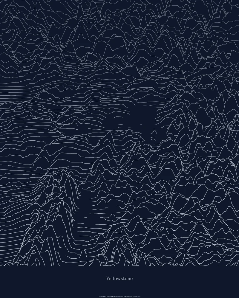
The curated map area is a rectangle drawn around the official park boundary, about 105 by 109 kilometers, so it also takes in land just outside the park. In the Ridgeline preview, the plateau reads as calm, gently rippled lines and the surrounding ranges rise as crowded peaks; the blank patches are lakes.
The preview is the Ridgeline export for this map area, generated from public elevation data. In the creator you can change line density, perspective, colors and title, or switch to Strata for color elevation bands or Contours. Choose 3D Terrain Model to download the park as a printable STL or 3MF; in the United States, models use USGS 3D Elevation Program data where it is available.
- Starting point
- Map area
- Map area
- 44.13°–45.11° N, 109.82°–111.16° W
- Preview style
- Ridgeline
- Poster files
- PNG, PDF and SVG at print resolution
- Model files
- STL, 3MF and GLB, when you choose the 3D terrain model
- Price
- Pay what you want, including free
What you can make from Yellowstone
Poster. Keep the Ridgeline preview or switch to another poster style. Set the title, colors and size, then download PNG, PDF or SVG and print it yourself or through a print shop.
3D terrain model. Choose the 3D Terrain Model product to turn the same terrain into a printable relief. Adjust the model size, base and vertical exaggeration, preview it in the browser, then download STL or 3MF for your slicer.
Questions about the Yellowstone artwork
- Does the Yellowstone map follow the park boundary?
- No. The map area is a rectangle around the park boundary, so the edges of the surrounding land are included. To frame one part of the park, such as Yellowstone Lake or the Grand Canyon of the Yellowstone, search for it or draw your own area in the creator.
- Can I download this landscape as an STL file?
- Yes. Choose 3D Terrain Model in the creator to turn the same map area into a printable relief model. Download STL or 3MF, open it in your slicer, and check the scale for your printer.
- How much does it cost?
- Downloads are pay what you want, including free. You can add a contribution at checkout if the artwork or model is worth it to you. No account is needed.
- Do you ship a printed poster or a 3D print?
- No. Printed Canyon delivers digital files only: PNG, PDF and SVG for posters, and STL, 3MF and GLB for terrain models. You print them at home or through a print shop or 3D-printing service of your choice.
Want the conversion pages instead? See GPX to poster or GPX to STL.