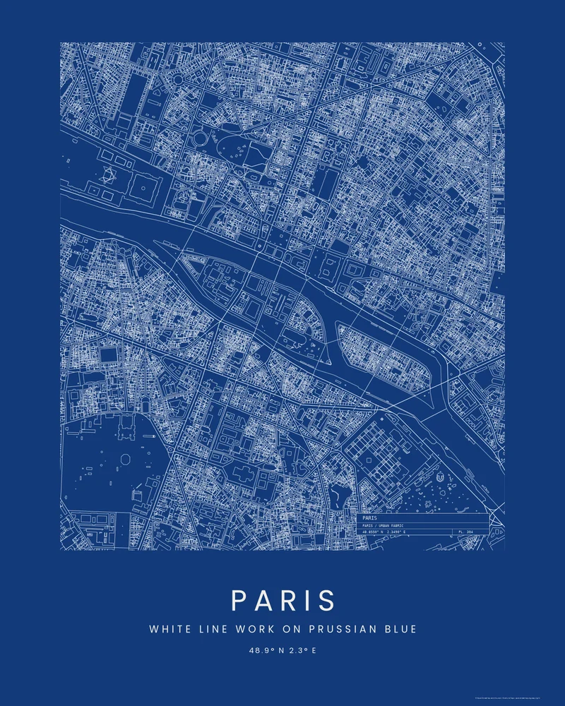
Île de la Cité, an island in the Seine, is where Paris began, and Notre-Dame and the Sainte-Chapelle stand on it. Île Saint-Louis lies just upstream, with the Latin Quarter to the south and the Marais to the north.
The curated map area is about 2.2 by 2.8 kilometers. The Blueprint preview outlines every building, street and riverbank in white on Prussian blue, with a title block in the corner, so the bridges stitch the two islands to both banks.
Buildings, streets and water come from OpenStreetMap contributors and Overture Maps Foundation. In the creator you can switch to Footprints, Wash or Street Compass, edit the title block, change every color, or move the area.
- Starting point
- Map area
- Map area
- 48.84°–48.87° N, 2.33°–2.36° E
- Preview style
- City
- Poster files
- PNG, PDF and SVG at print resolution
- Model files
- STL, 3MF and GLB, when you choose the 3D terrain model
- Price
- Pay what you want, including free
What you can make from Paris
Poster. Keep the City preview or switch to another poster style. Set the title, colors and size, then download PNG, PDF or SVG and print it yourself or through a print shop.
3D terrain model. Choose the 3D Terrain Model product to turn the same terrain into a printable relief. Adjust the model size, base and vertical exaggeration, preview it in the browser, then download STL or 3MF for your slicer.
Questions about the Paris artwork
- What does the title block on the Paris blueprint say?
- By default it gives the place name, the map's coordinates and a plate number, like the label on an architect's drawing. You can rewrite its lines, move it to another corner or turn it off in the creator.
- Can I 3D print this city instead?
- Yes. Choose 3D Terrain Model in the creator and turn on city features to model the same buildings, streets, water and parks as a printable STL or 3MF, for areas under 5 km across.
- How much does it cost?
- Downloads are pay what you want, including free. You can add a contribution at checkout if the artwork or model is worth it to you. No account is needed.
- Do you ship a printed poster or a 3D print?
- No. Printed Canyon delivers digital files only: PNG, PDF and SVG for posters, and STL, 3MF and GLB for terrain models. You print them at home or through a print shop or 3D-printing service of your choice.
Want the conversion pages instead? See GPX to poster or GPX to STL.