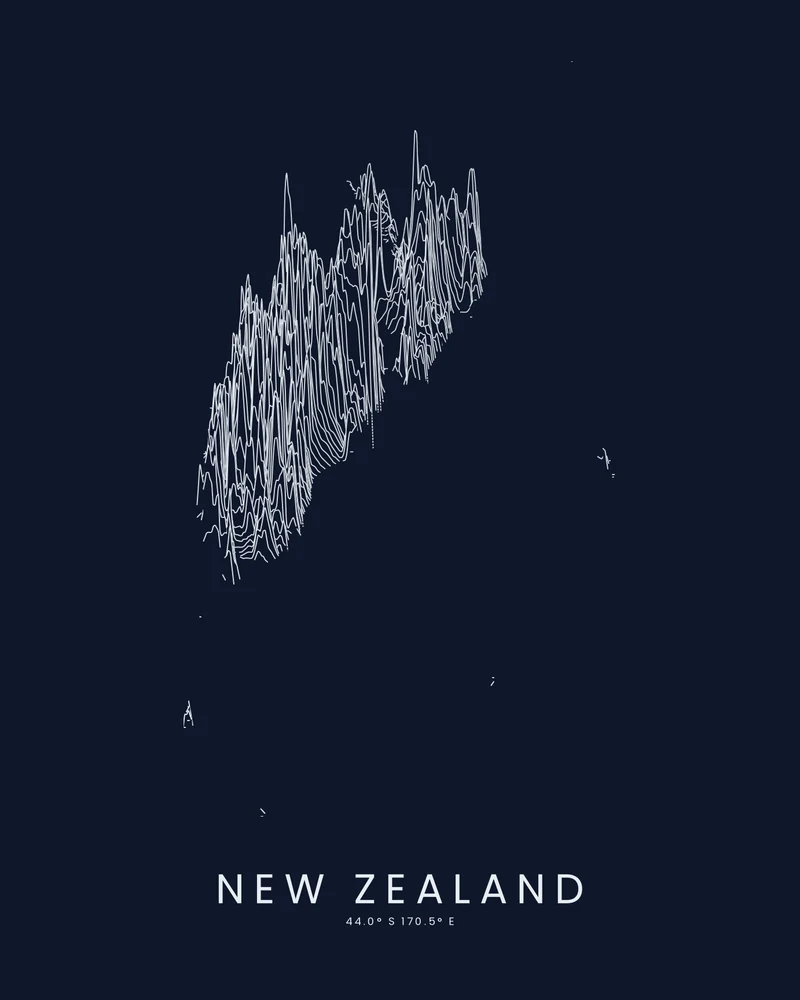
New Zealand lies on the boundary between the Pacific and Australian plates. The Southern Alps run almost the length of the South Island and rise to Aoraki / Mount Cook, 3,724 meters (12,218 feet), the country's highest peak, while the North Island has the active volcanoes of its central plateau, among them Ruapehu.
The artwork is the whole country cut to its outline. The Chatham Islands, the Kermadec Islands and the subantarctic islands appear in their true positions, so the two main islands sit smaller on the sheet. In the Ridgeline preview, drawn in light lines on dark paper, the Southern Alps rise as the tallest, most crowded lines along the South Island.
The preview is the Ridgeline export for this outline, generated from public global elevation data. In the creator you can change line density, perspective, colors and title, or switch to Contours, Strata or Watershed. Choose 3D Terrain Model for a printable relief model cut to the same outline, as STL or 3MF; the download credits the elevation source used.
- Starting point
- Country or territory
- Boundary
- NZ
- Preview style
- Ridgeline
- Poster files
- PNG, PDF and SVG at print resolution
- Model files
- STL, 3MF and GLB, when you choose the 3D terrain model
- Price
- Pay what you want, including free
What you can make from New Zealand
Poster. Keep the Ridgeline preview or switch to another poster style. Set the title, colors and size, then download PNG, PDF or SVG and print it yourself or through a print shop.
3D terrain model. Choose the 3D Terrain Model product to turn the same terrain into a printable relief. Adjust the model size, base and vertical exaggeration, preview it in the browser, then download STL or 3MF for your slicer.
Questions about the New Zealand artwork
- Where does the country outline come from?
- From Natural Earth's public-domain boundary data. The country's provinces or states are joined into one outline, and every island and overseas part stays in its true position. Borders in disputed areas follow Natural Earth's de facto lines; they are not a statement on any claim.
- Can I 3D print the whole country?
- Yes. Switch the product to 3D Terrain Model in the creator to preview the country as a relief model cut to the same outline, then download STL, 3MF or GLB. Across a whole country, a raised Elevation setting helps the ranges stand out; check the slicer preview before printing.
- How much does it cost?
- Downloads are pay what you want, including free. You can add a contribution at checkout if the artwork or model is worth it to you. No account is needed.
- Do you ship a printed poster or a 3D print?
- No. Printed Canyon delivers digital files only: PNG, PDF and SVG for posters, and STL, 3MF and GLB for terrain models. You print them at home or through a print shop or 3D-printing service of your choice.
Want the conversion pages instead? See GPX to poster or GPX to STL.