Missouri is usually divided into four natural regions: the Ozarks across most of the south, the Glaciated Plains north of the Missouri River, the Osage Plains in the west, and the Mississippi Lowlands of the Bootheel. The St. Francois Mountains, a knot of ancient igneous knobs, rise from the eastern Ozarks.
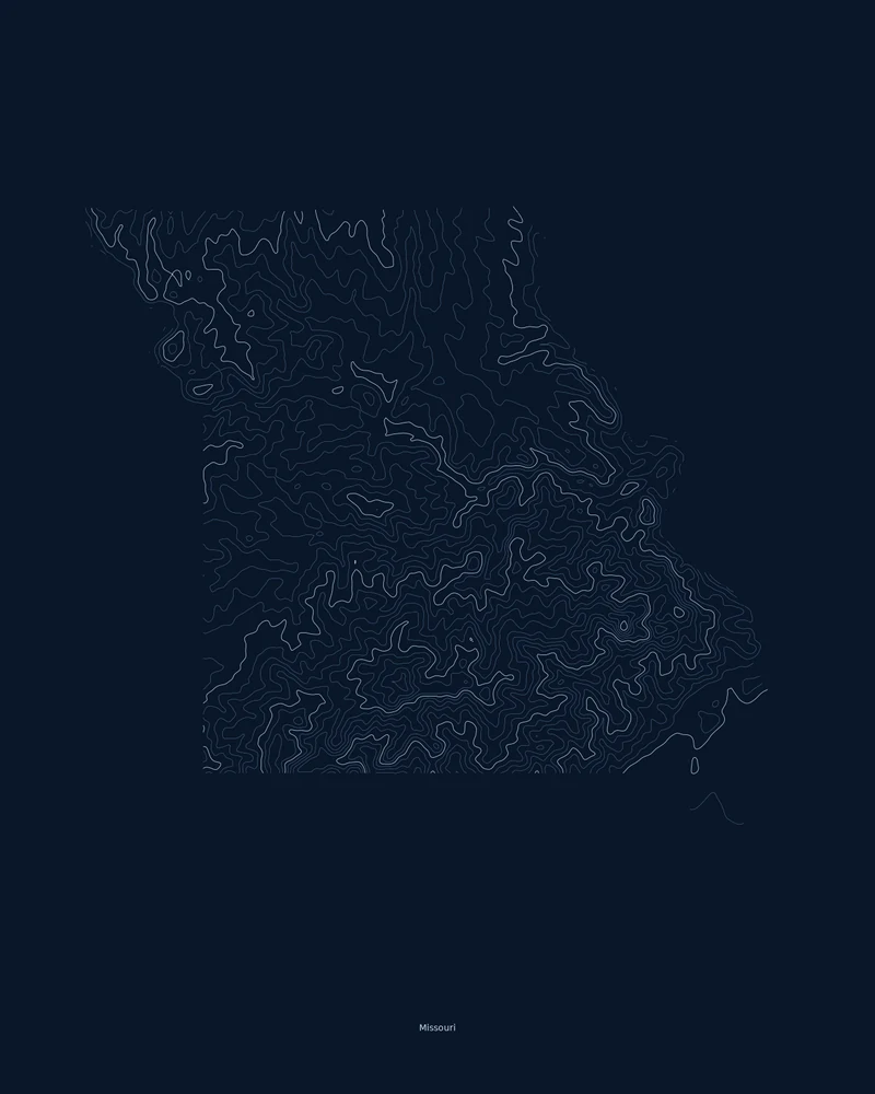
Taum Sauk Mountain in the St. Francois Mountains is the highest point at 1,772 feet (540 m), and the St. Francis River in the Bootheel is the lowest at 230 feet (70 m). In the Contours preview, the Ozarks fill the south with tight, branching loops, the northern plains open up, and the flat Bootheel carries almost no lines.
The preview is the Contours export for Missouri on a dark background at 18 × 24 inches. In the creator you can change the contour interval, colors and title, or switch to Ridgeline, Strata or a 3D terrain model.
- Starting point
- US state
- Boundary
- MO
- Preview style
- Contours
- Poster files
- PNG, PDF and SVG at print resolution
- Model files
- STL, 3MF and GLB, when you choose the 3D terrain model
- Price
- Pay what you want, including free
What you can make from Missouri
Poster. Keep the Contours preview or switch to another poster style. Set the title, colors and size, then download PNG, PDF or SVG and print it yourself or through a print shop.
3D terrain model. Choose the 3D Terrain Model product to turn the same state into a printable relief. Adjust the model size, base and vertical exaggeration, preview it in the browser, then download STL or 3MF for your slicer.
Questions about the Missouri artwork
- Why is the Bootheel almost blank on the Missouri map?
- Because it is nearly flat. The Bootheel lies on the Mississippi River floodplain, so few contour lines cross it at state scale. Set a smaller contour interval in the creator, or switch to Strata, which colors elevation instead of drawing lines.
- Can I make a 3D-printable model of the whole state?
- Yes. Switch the product to 3D Terrain Model in the creator to preview the state as a relief model and download STL, 3MF or GLB. Choose a model size that fits your printer and check the slicer preview before printing.
- How much does it cost?
- Downloads are pay what you want, including free. You can add a contribution at checkout if the artwork or model is worth it to you. No account is needed.
- Do you ship a printed poster or a 3D print?
- No. Printed Canyon delivers digital files only: PNG, PDF and SVG for posters, and STL, 3MF and GLB for terrain models. You print them at home or through a print shop or 3D-printing service of your choice.
Want the conversion pages instead? See GPX to poster or GPX to STL.