Places / National parks

National park map posters, drawn from the terrain itself.

17 US national parks, each ready to open in the creator with a poster style chosen for its landscape. Download the poster as PNG, PDF or SVG, or the park as a 3D-printable STL or 3MF terrain model. Pay what you want, including free.

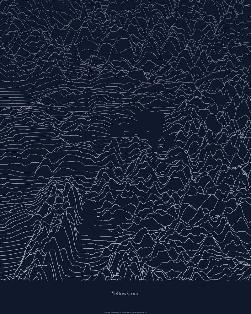
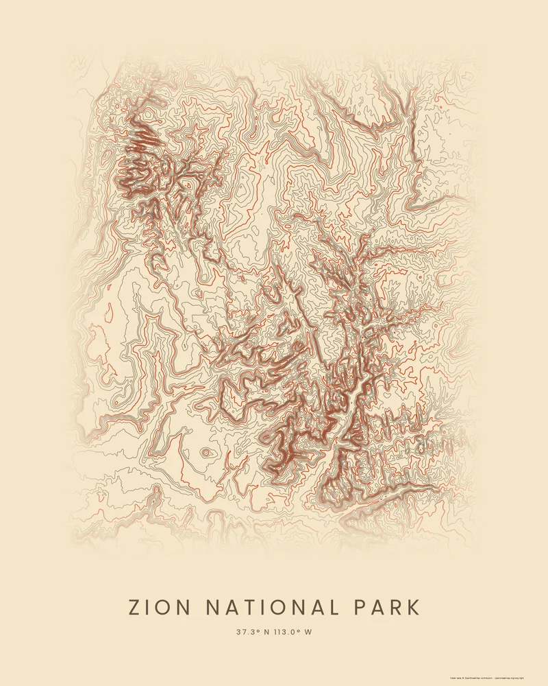
A national park poster here is made from public elevation data rather than a drawn map: the Smokies' main crest rises as stacked ridgelines, Zion's canyons crowd together as contour lines, and Yellowstone's plateau stays calm between the ranges around it. Each park page explains what its map area covers, what the preview shows and the park facts behind it.

Every park opens in the same creator. Keep the preview's style or switch between Ridgeline, Contours and Strata, change the colors and the title, and print the file yourself or through a print shop. The 3D Terrain Model turns the same area into a relief model for your printer.
Parks to start from

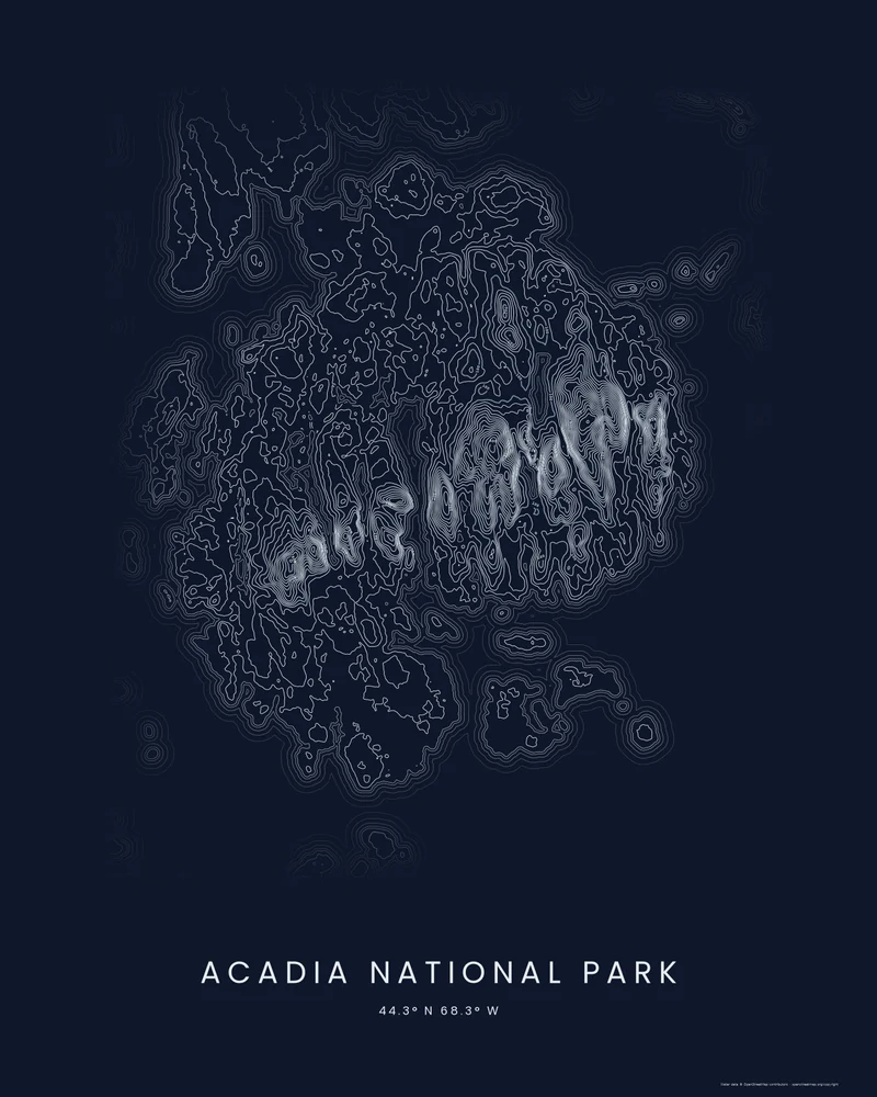
Acadia National Park rendered as a Contours poster, Mount Desert Island's mountains as a chain of bright rings
Contours poster

Acadia National Park

Cadillac Mountain and the granite domes of Mount Desert Island, with the islands of the Maine coast around them.

See Acadia National Park →
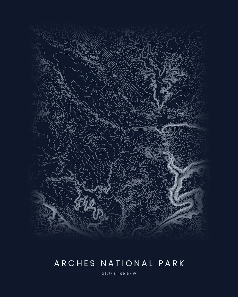
Arches National Park rendered as a Contours poster, the Colorado River a bright channel through fine lines
Contours poster

Arches National Park

The sandstone country north of Moab and the Colorado River's bend, traced in fine contour lines.

See Arches National Park →
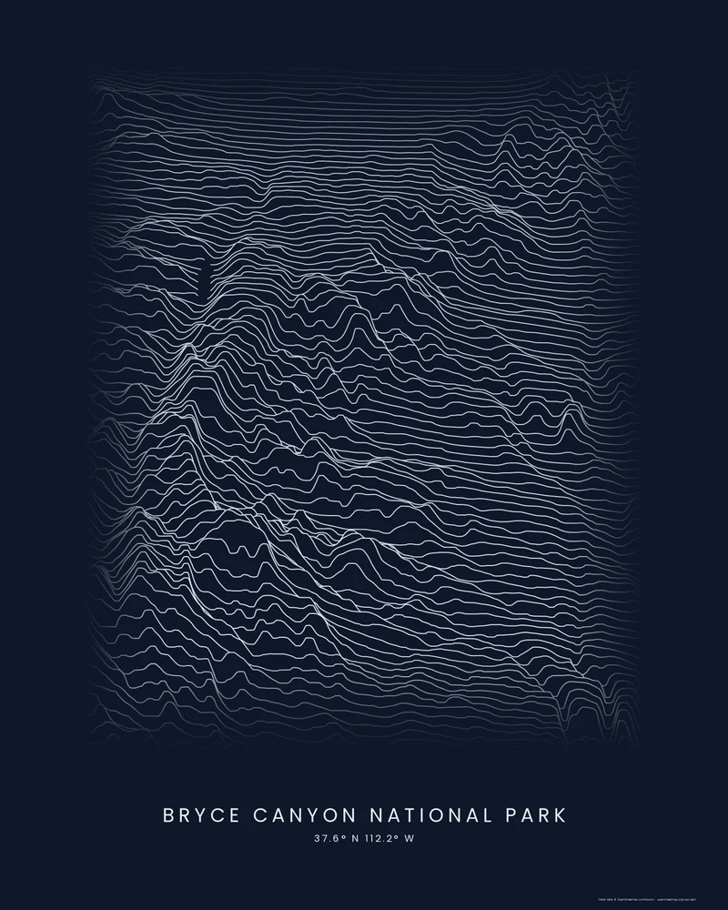
Bryce Canyon National Park rendered as a Ridgeline poster, calm plateau lines breaking where the rim drops away
Ridgeline poster

Bryce Canyon National Park

The eastern rim of the Paunsaugunt Plateau and the amphitheaters below it, drawn as stacked light profiles.

See Bryce Canyon National Park →
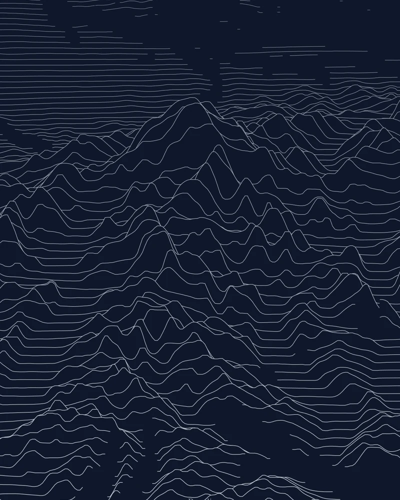
Denali rendered as a Ridgeline poster, the massif rising above flat lines to the north
Ridgeline poster

Denali National Park and Preserve

The massif rising from its base to 20,310 feet, drawn as stacked elevation profiles.

See Denali →
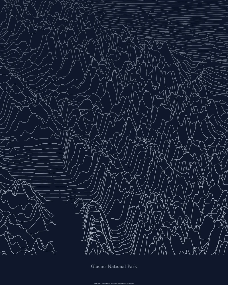
Glacier National Park rendered as a Ridgeline poster of stacked elevation profiles
Ridgeline poster

Glacier National Park

The Montana park's glacier-carved ranges drawn as stacked elevation profiles.

See Glacier National Park →
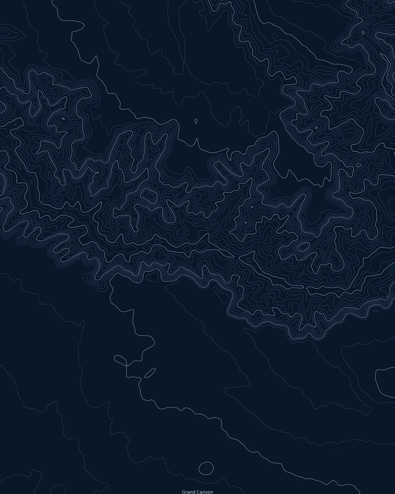
Grand Canyon terrain rendered as a Contours poster with dense topographic lines
Contours poster

Grand Canyon National Park

Roughly 45 by 55 kilometers of canyon around the South Rim, drawn as topographic contour lines.

See Grand Canyon →
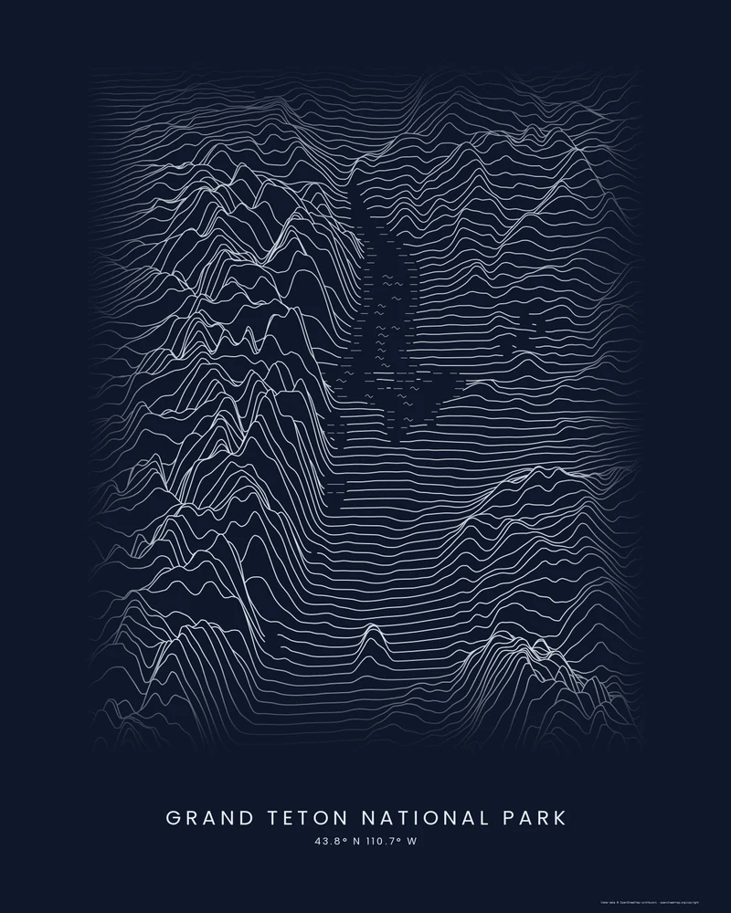
Grand Teton National Park rendered as a Ridgeline poster, the Teton Range rising beside the flat lines of Jackson Hole
Ridgeline poster

Grand Teton National Park

The Teton Range rising straight out of Jackson Hole, with Jackson Lake at its feet, drawn as stacked light profiles.

See Grand Teton National Park →
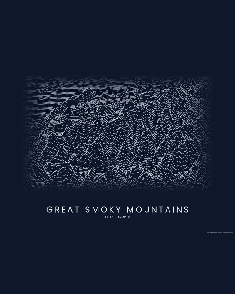
Great Smoky Mountains rendered as a Ridgeline poster, the main crest rising as a wall of light peaks on dark paper
Ridgeline poster

Great Smoky Mountains National Park

Ridge after ridge of the Smokies along the Tennessee–North Carolina line, drawn as stacked light profiles.

See Great Smoky Mountains →
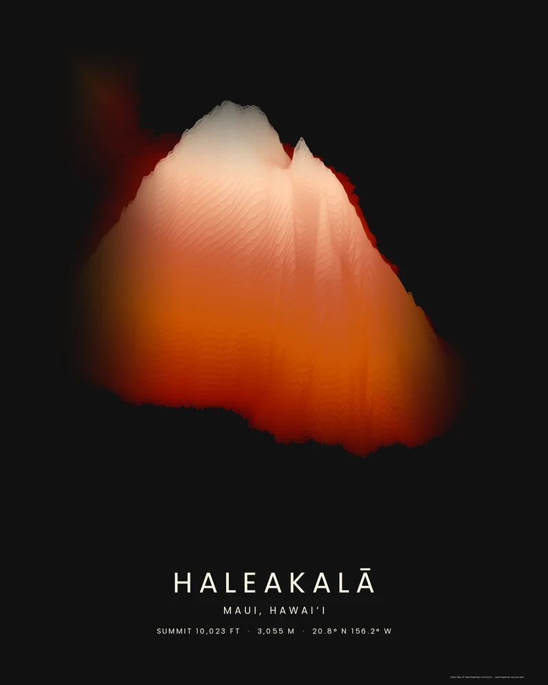
Haleakalā rendered as a Strata poster, East Maui rising in rust and sandstone bands to a pale summit
Strata poster

Haleakalā National Park

The volcano that forms East Maui, rising from the sea to 10,023 feet in layered elevation bands.

See Haleakalā →
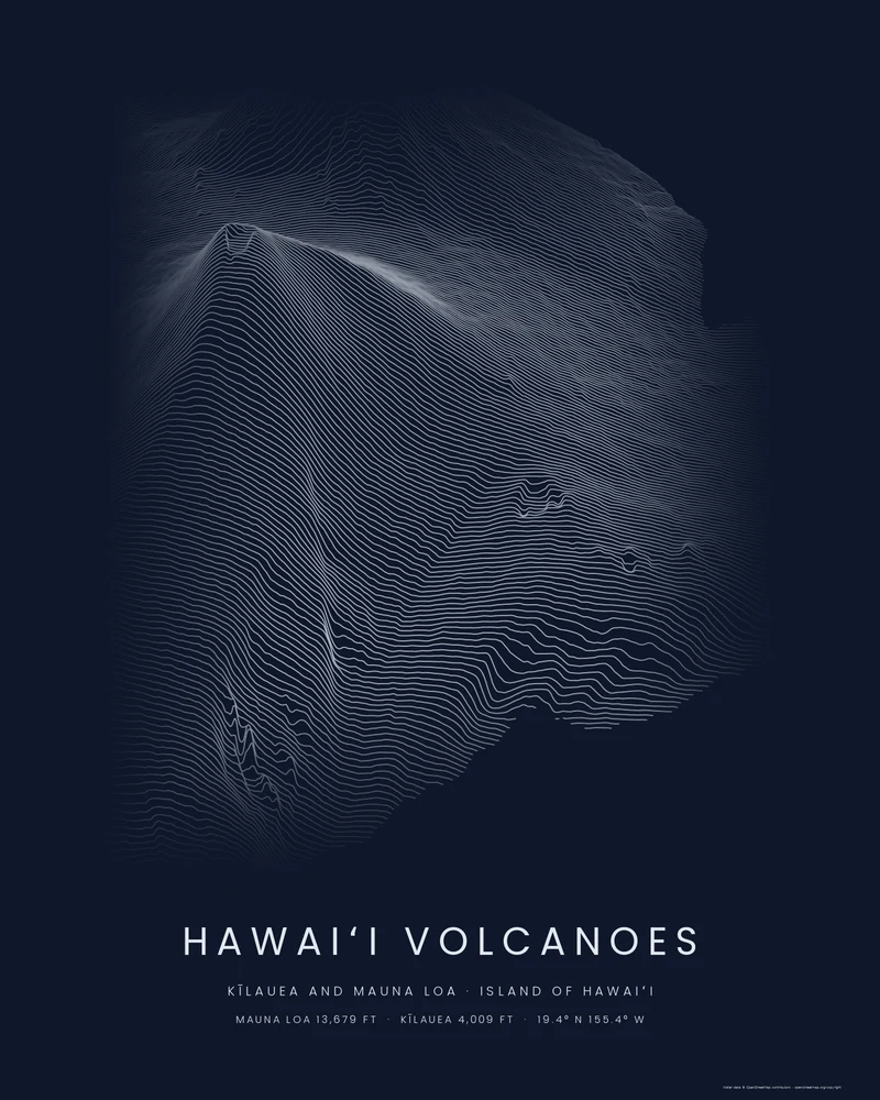
Hawaiʻi Volcanoes rendered as a Ridgeline poster, Mauna Loa's summit rising above stacked profiles that end at the coast
Ridgeline poster

Hawaiʻi Volcanoes National Park

Two of the most active volcanoes on Earth, drawn as stacked elevation profiles from the summit of Mauna Loa to the sea.

See Hawaiʻi Volcanoes →
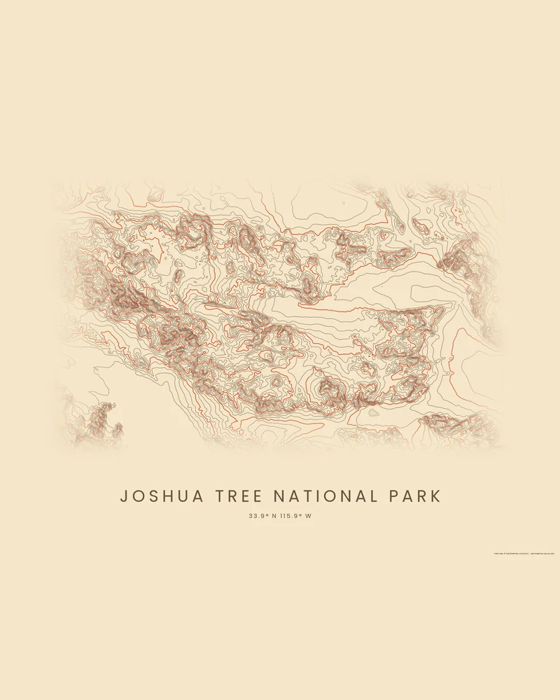
Joshua Tree National Park rendered as a Contours poster, knots of rings over desert ranges across a wide sheet
Contours poster

Joshua Tree National Park

Where the Mojave meets the Colorado Desert: granite mountains and wide basins, traced in canyon-colored contours.

See Joshua Tree National Park →
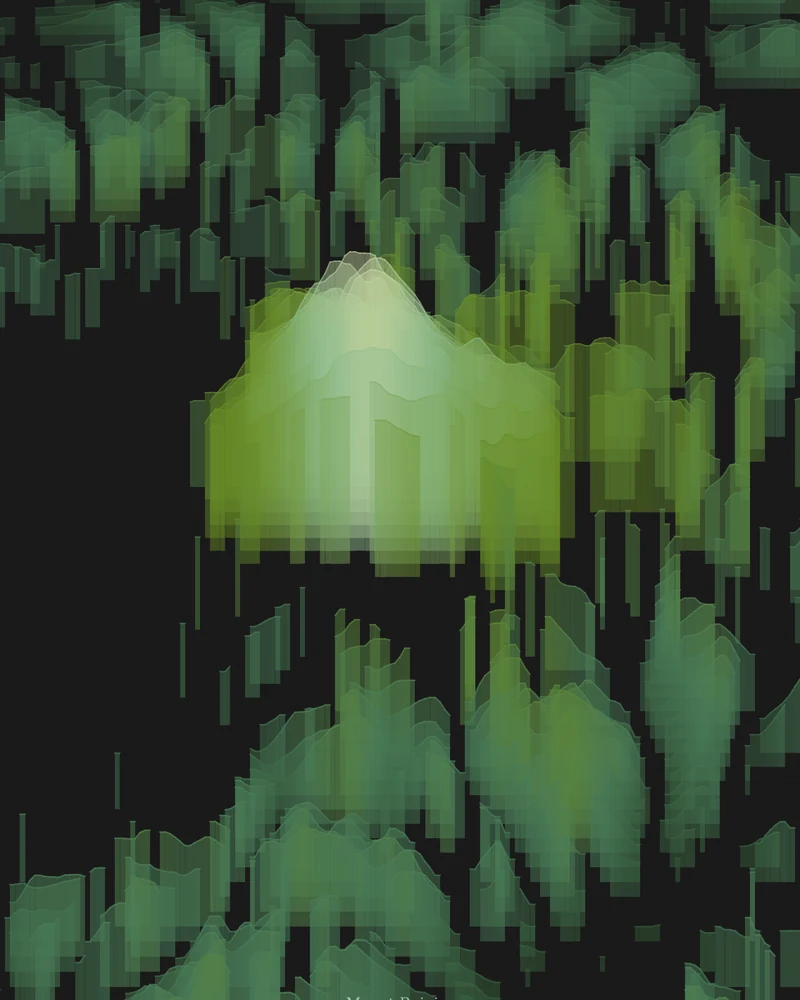
Mount Rainier rendered as a Strata poster with layered forest-green elevation bands
Strata poster

Mount Rainier National Park

The volcano and its glaciers, drawn as layered elevation bands.

See Mount Rainier →
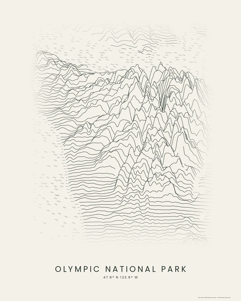
Olympic National Park rendered as a Ridgeline poster, the Olympic Mountains rising as a cluster of dark peaks
Ridgeline poster

Olympic National Park

The glaciated core of the Olympic Peninsula, from the Pacific coast to Puget Sound, drawn as stacked profiles.

See Olympic National Park →
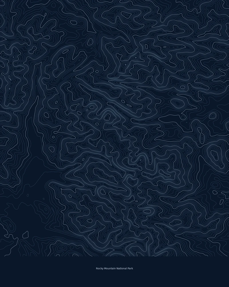
Rocky Mountain National Park rendered as a Contours poster of fine elevation lines
Contours poster

Rocky Mountain National Park

Longs Peak, Trail Ridge and the Continental Divide, traced line by line.

See Rocky Mountain National Park →
Yellowstone National Park rendered as a Ridgeline poster of stacked elevation profiles
Ridgeline poster

Yellowstone National Park

The park's high volcanic plateau and the ranges around it, drawn as stacked elevation profiles.

See Yellowstone →
Yosemite Valley rendered as a Ridgeline poster with stacked elevation profiles
Ridgeline poster

Yosemite National Park

El Capitan, Half Dome and the valley floor, drawn as stacked elevation profiles.

See Yosemite Valley →
Zion National Park rendered as a Contours poster, dense dark lines tracing branching canyons on cream paper
Contours poster

Zion National Park

Zion Canyon, the Kolob Terrace and the side canyons of the Virgin River, traced in canyon-colored contour lines.

See Zion National Park →

Questions about national park posters

Does a national park poster follow the official park boundary?

No. Each map area is a rectangle drawn around the park, or around its best-known part, so it also shows the land just outside. The boundary itself is not drawn. Each park page states the size of its map area and what it covers.

Can I make a map of a national park that is not listed here?

Yes. Search any park, peak or valley in the creator, or draw your own area on the map, and choose a poster style or the 3D terrain model. The parks here are starting points with a style already chosen.

Can I add my own hike to a national park poster?

Yes. Upload a GPX file from Strava, AllTrails, Garmin or another service and the creator draws your track on the terrain. Three trail pages, Angels Landing, Bright Angel and Half Dome, also come with a bundled National Park Service route.

Are these posters made by or for the National Park Service?

No. Printed Canyon is independent and not affiliated with the National Park Service. The posters are drawn from public elevation data, and the facts on each park page cite the park's own National Park Service pages.

Can I 3D print a national park?

Yes. On any park page, open the creator and choose 3D Terrain Model to preview the same map area in relief, then download STL or 3MF for your slicer. The new park pages show the model at 150 mm with Auto (printable) relief.

Somewhere else in mind? Search any place, browse every place or upload a GPX route.