Every place has a shape.
Turn a trail you hiked, a town you love, or a whole country into a poster or a 3D-printable terrain model. Download the files and print them yourself. Pay what you want, no account needed.
Race day · New York City, November 1
The New York City Marathon, printed. Five boroughs, one line, your time.
The whole 26.2-mile course over every building in the city, as a poster in four City styles or as a 3D model with the skyline on it, captioned with your name and finish time.
One place, seven ways to see it.
Every style starts from public map data: elevation, water, buildings or stars. Pick the one that feels like the place, then shape it in the studio.
3D terrain model
The land itself. Print it at home in STL, 3MF or GLB.
Make one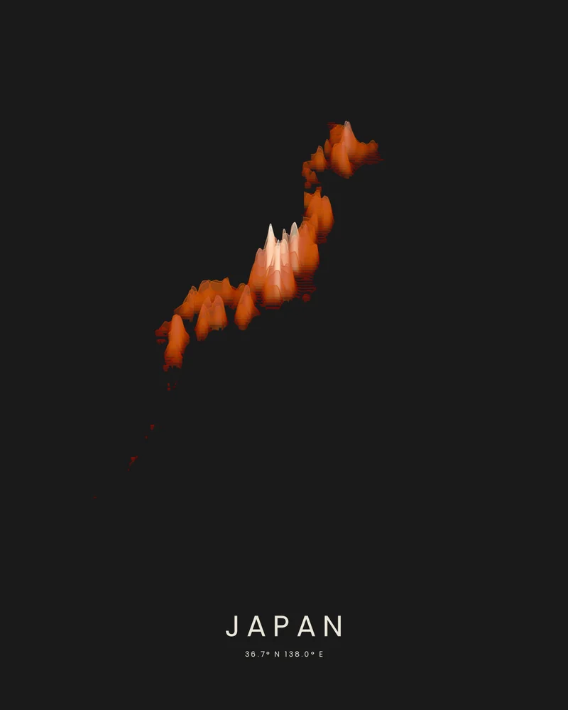
Ridgeline
Stacked elevation profiles, drawn ridge by ridge.
Make one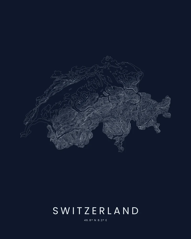
Contours
Fine topographic lines that read like a survey sheet.
Make one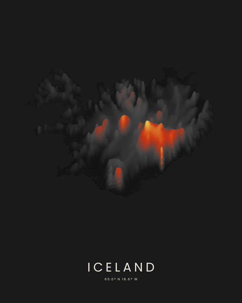
Strata
Elevation bands in sandstone, shale, forest or volcanic color.
Make one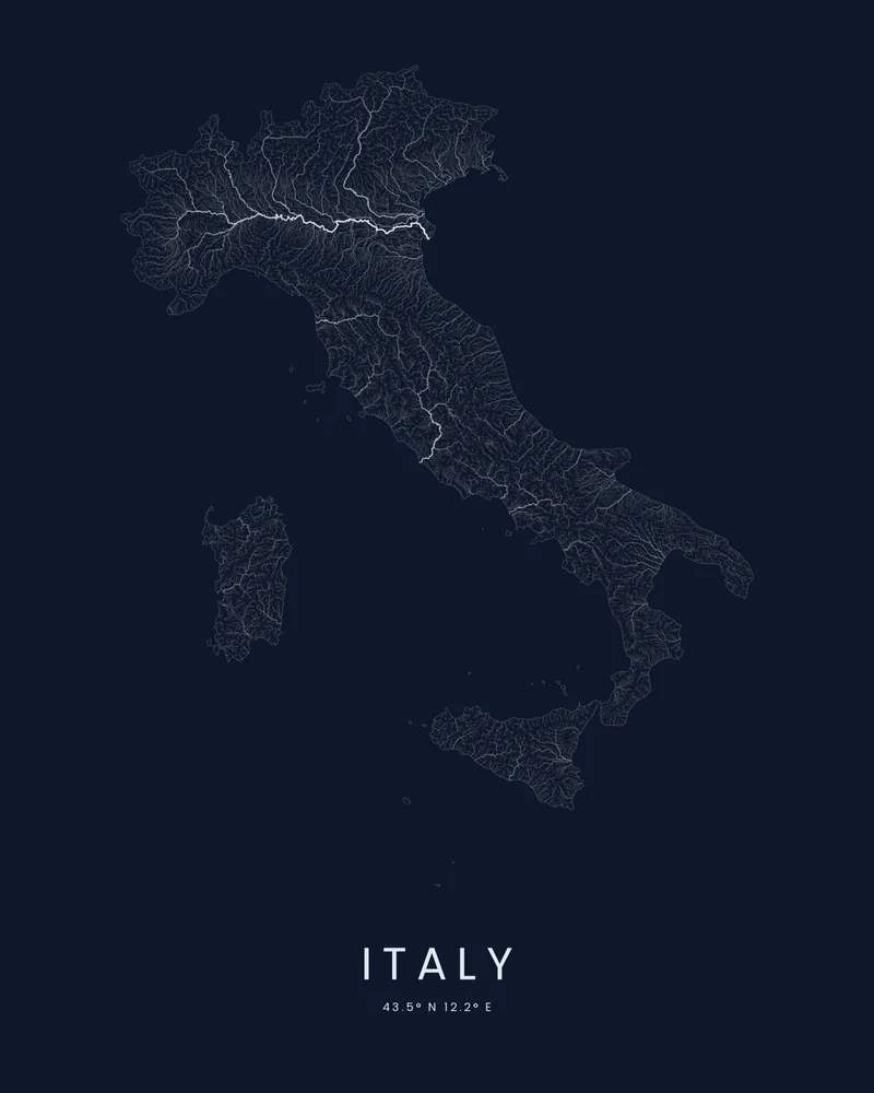
Watershed
Every river and stream that drains your place.
Make one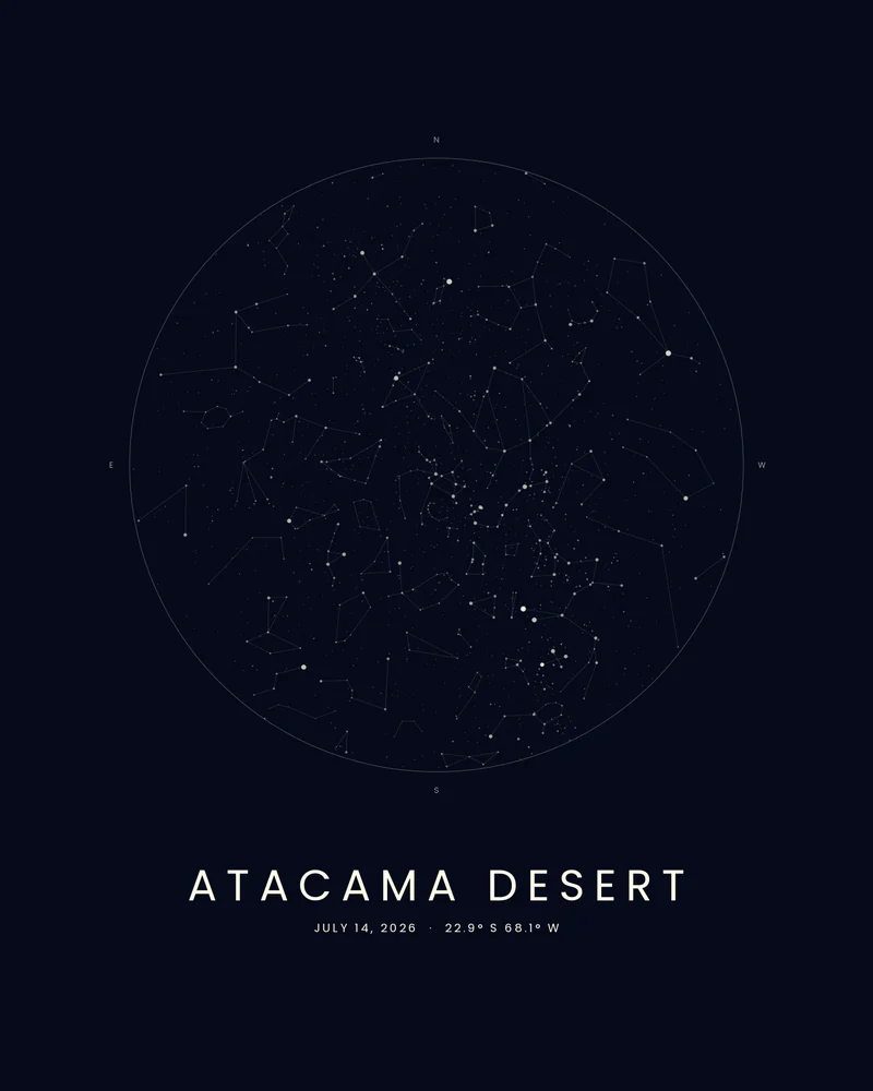
Celestial
The night sky over your terrain on a date you choose.
Make one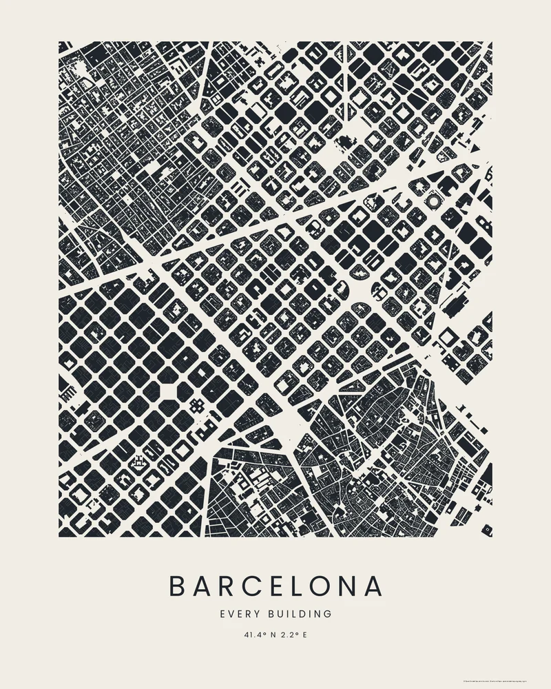
City
Every building and street, as ink, wash, blueprint or compass.
Make one
Drag to turn it over
Hold a mountain in your hand.
Terrain models are built from the same elevation data as the posters, then checked for printability before you download. Your route can be embossed, engraved, or split off as a separate part.
- FilesSTL for any slicer, 3MF for multi-material printers, GLB for the web and AR.
- SizeSet the footprint in millimeters. Big pieces split into tiles that lock together with bowtie keys.
- ShapeSquare, rectangle, circle, oval, triangle, the outline of a country or US state, or your own drawn or uploaded outline.
Print a topographic map, a mountain or a city with its buildings, or make a flat contour map.
From a place to a print in three steps.
- Step 1
Pick a place
Upload a GPX file from Strava, Garmin or AllTrails, search for a mountain or town, or choose a country or US state.
- Step 2
Shape it in the studio
Choose a style and refine it with a live preview. Resize, retitle, recolor. Undo anything. Save the layout to come back later.
- Step 3
Download and print
Files render in about a minute. Print the poster at home or at a shop, send the model to your slicer. Links stay live for 30 days.
No route file required.
Begin with a place you already love. Every one of these opens in the studio, ready to make your own.
Countries, territories and states
The outline, the elevation and a title, already set.
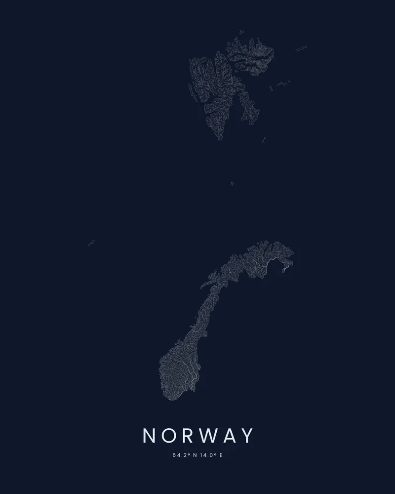
Norway
The rivers that carved the fjords
About Norway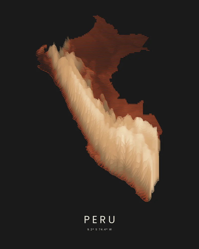
Peru
The Andes between desert and rainforest
About Peru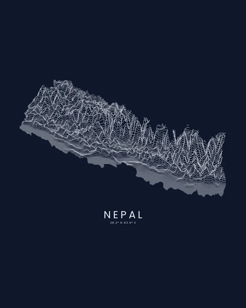
Nepal
The Himalaya rising from the plains
About Nepal
Iconic trails
Famous hikes from five continents, the route drawn on the terrain.
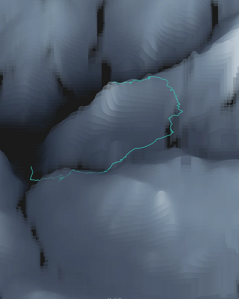
Half Dome
Happy Isles to the summit, route included
About Half Dome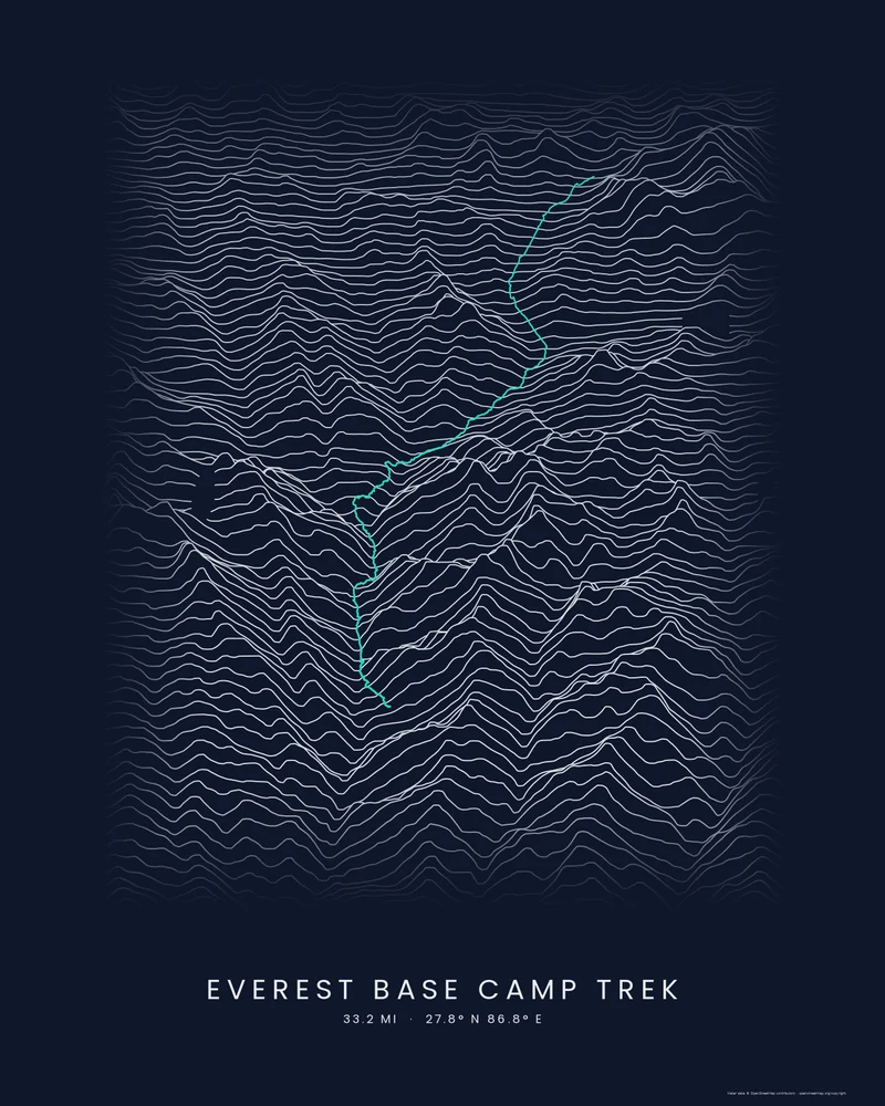
Everest Base Camp
Lukla up the Khumbu to the foot of Everest
About Everest Base Camp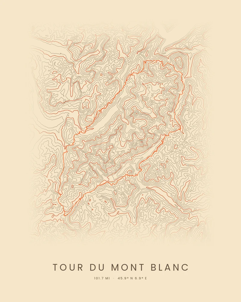
Tour du Mont Blanc
Around Mont Blanc through three countries
About Tour du Mont Blanc
Iconic locations
Landscapes that need no introduction.
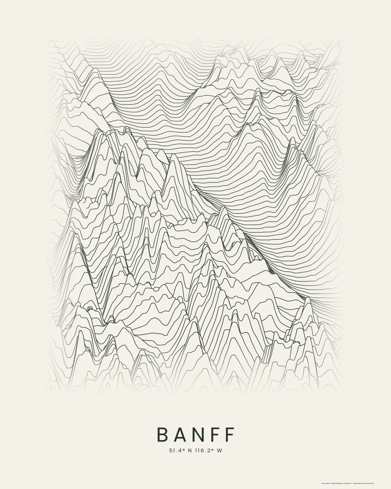
Banff
Lake Louise and the Canadian Rockies
About BanffBarcelona
The Eixample's chamfered blocks, every building in ink
About BarcelonaAtacama Desert
The night sky over the driest desert on Earth
About Atacama Desert
Curated artwork tracks from selected National Park Service trail segments and OpenStreetMap hiking routes. These are artworks, not navigation aids. Check park conditions and permits before you go.
Pay what you want.
Every download is free, including the print-ready files. If a poster or model makes you happy, you can leave a tip at checkout. Tips cover the servers and the elevation data.
Start for free- Price
- From $0. You choose the amount.
- Account
- None. Your download link is the receipt.
- Poster files
- PNG, PDF and SVG at print resolution.
- Model files
- STL, 3MF and GLB, checked for printability.
- Download window
- 30 days, renewable on request.
- Payments
- Handled by Stripe. We never see your card.