Every place has a shape.
Turn a trail you hiked, a town you love, or a whole state into a poster or a 3D-printable terrain model. Download the files and print them yourself. Pay what you want, no account needed.
One place, six ways to see it.
Every style starts from the same public elevation data. Pick the one that feels like the place, then shape it in the studio.
3D terrain model
The land itself. Print it at home in STL, 3MF or GLB.
Make one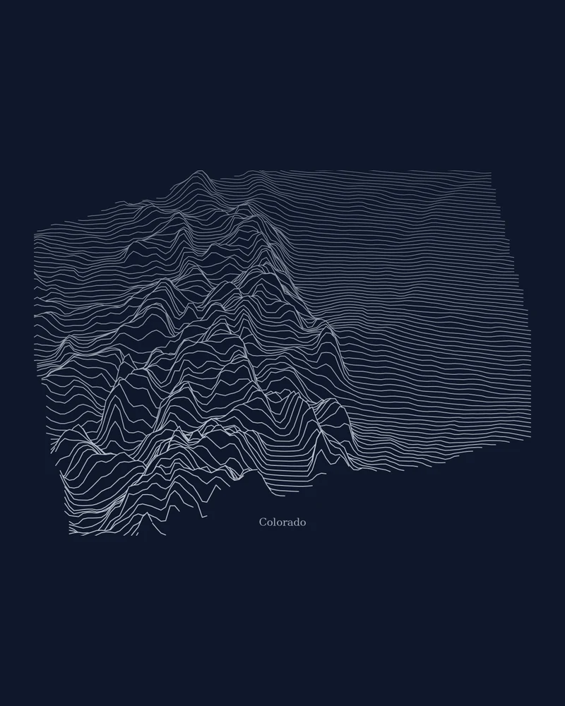
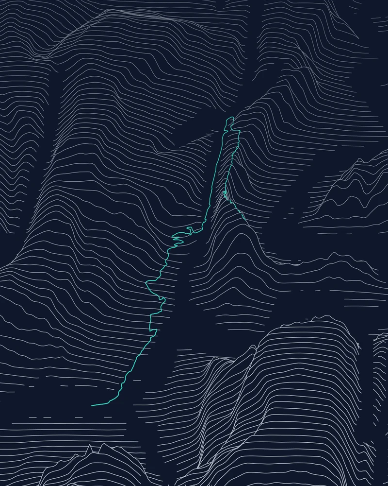
Ridgeline
Stacked elevation profiles, drawn ridge by ridge.
Make one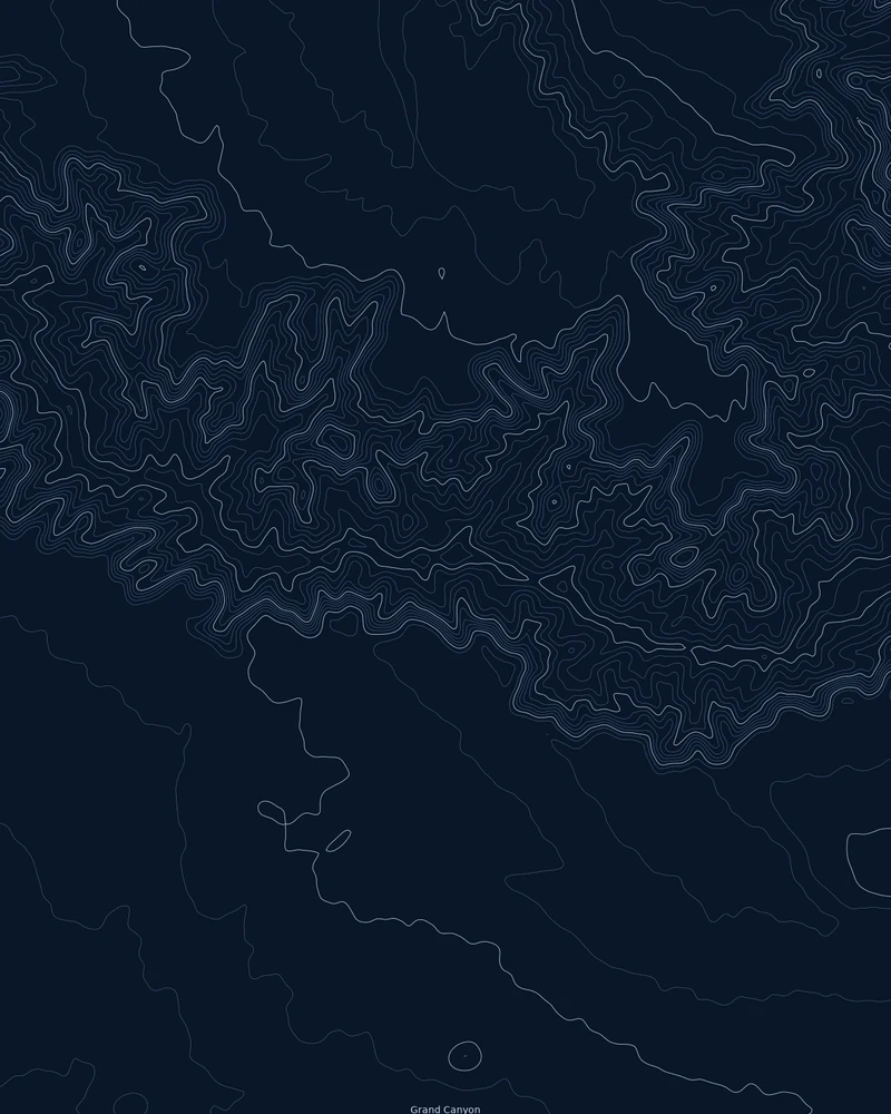
Contours
Fine topographic lines that read like a survey sheet.
Make one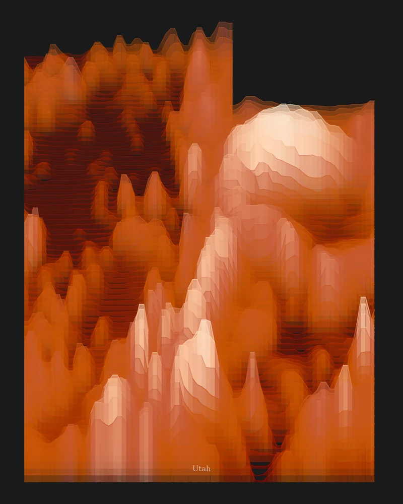
Strata
Elevation bands in sandstone, shale, forest or volcanic color.
Make one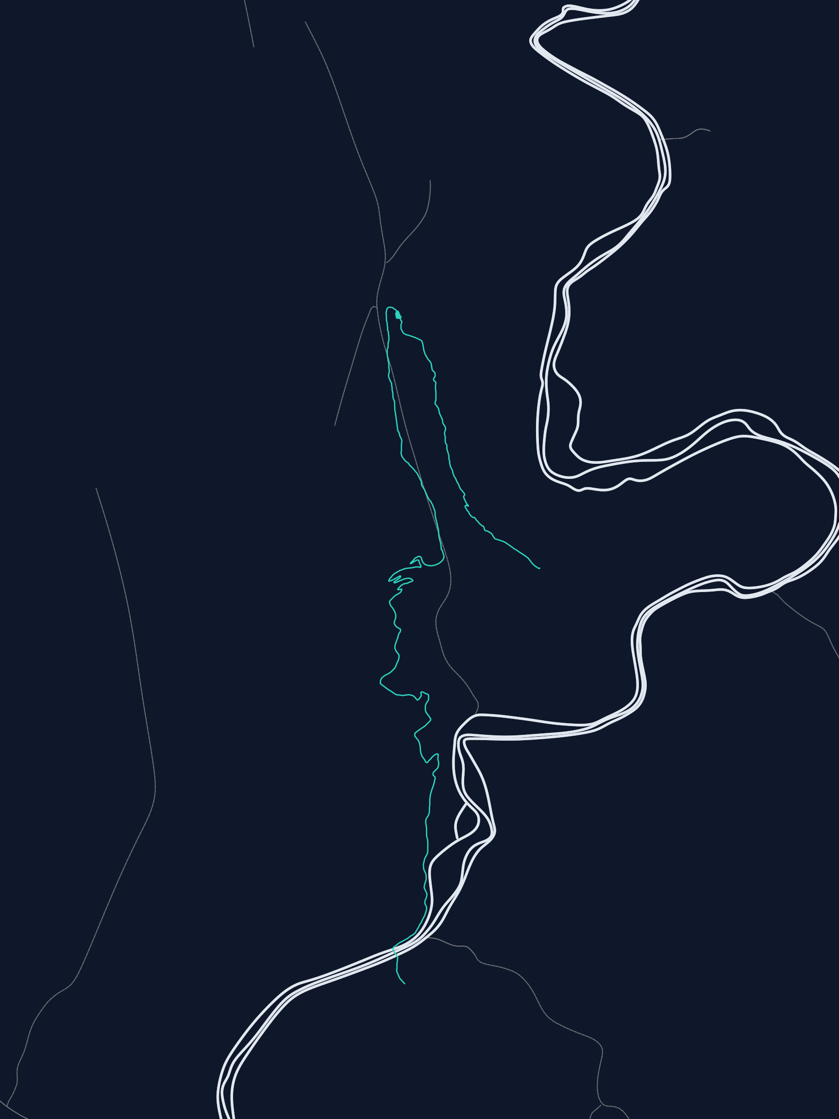
Watershed
Every river and stream that drains your place.
Make one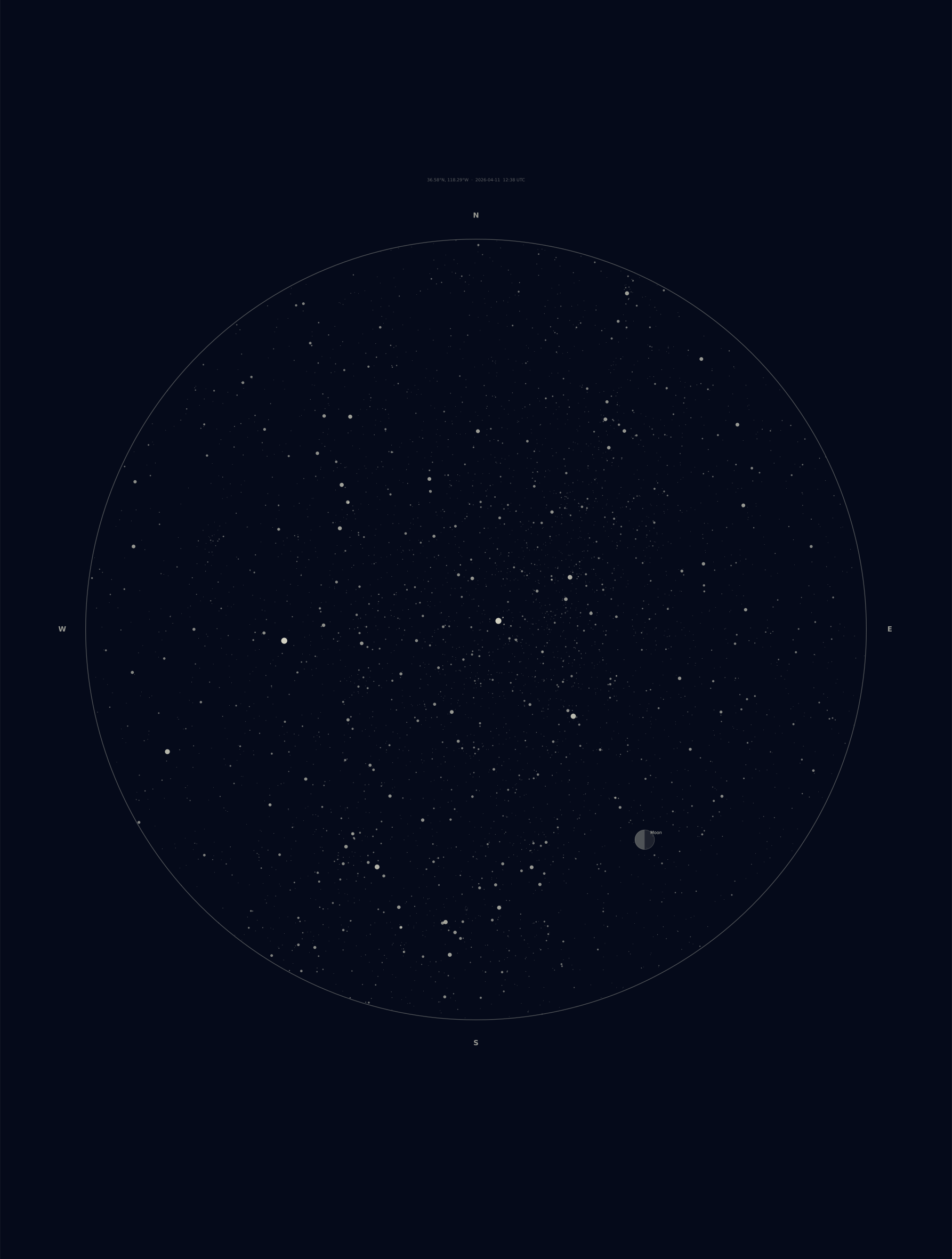
Celestial
The night sky over your terrain on a date you choose.
Make one
Drag to turn it over
Hold a mountain in your hand.
Terrain models are built from the same elevation data as the posters, then checked for printability before you download. Your route can be embossed, engraved, or split off as a separate part.
- FilesSTL for any slicer, 3MF for multi-material printers, GLB for the web and AR.
- SizeSet the footprint in millimeters to fit your printer's build plate.
- ShapeSquare, rectangle, circle, oval, triangle, or the outline of a US state.
From a place to a print in three steps.
- Step 1
Pick a place
Upload a GPX file from Strava, Garmin or AllTrails, search for a mountain or town, or choose a US state.
- Step 2
Shape it in the studio
Choose a style and refine it with a live preview. Resize, retitle, recolor. Undo anything. Save the layout to come back later.
- Step 3
Download and print
Files render in about a minute. Print the poster at home or at a shop, send the model to your slicer. Links stay live for 30 days.
No route file required.
Begin with a place you already love. Every one of these opens in the studio, ready to make your own.
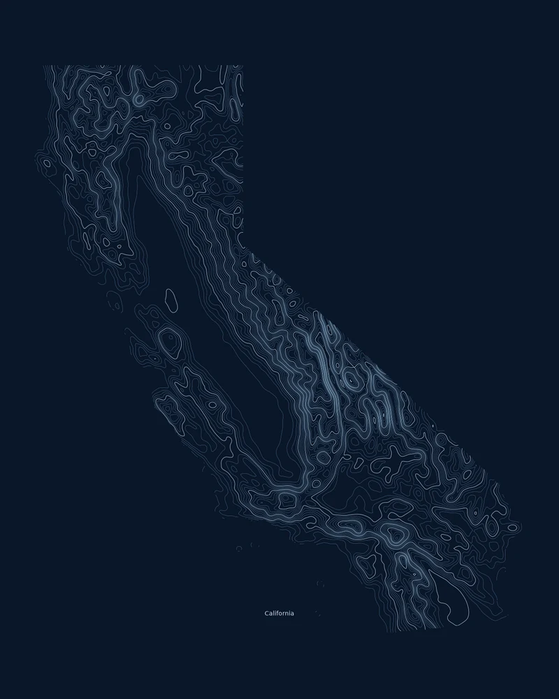
States
The outline, the elevation and a title, already set.
Iconic trails
Official National Park Service geometry, no file to find.
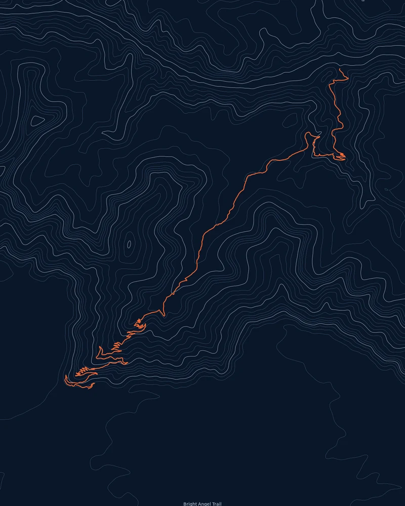
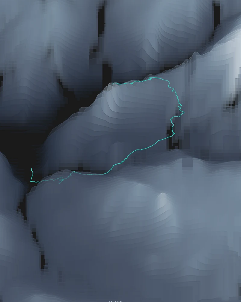
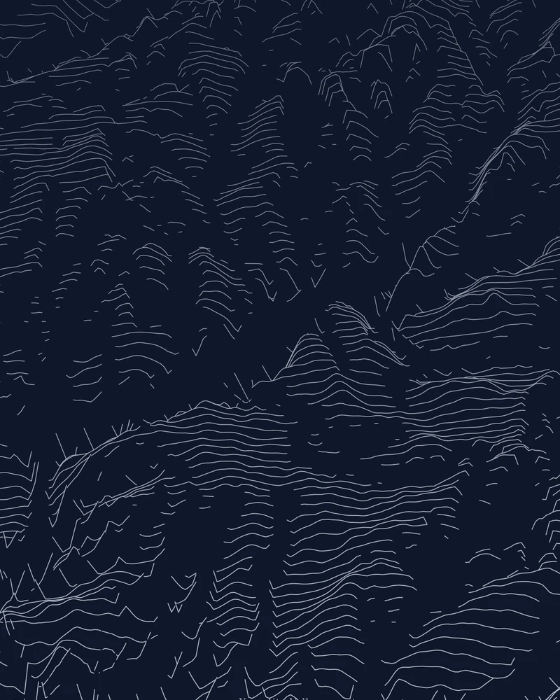
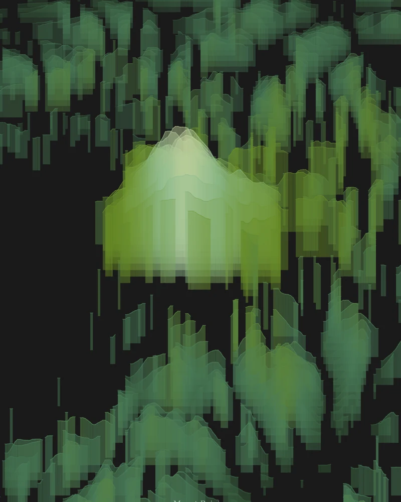
Trail geometry from the National Park Service. These are artworks, not navigation aids. Check park conditions and permits before you go.
Pay what you want.
Every download is free, including the print-ready files. If a poster or model makes you happy, you can leave a tip at checkout. Tips cover the servers and the elevation data.
Start for free- Price
- From $0. You choose the amount.
- Account
- None. Your download link is the receipt.
- Poster files
- PNG, PDF and SVG at print resolution.
- Model files
- STL, 3MF and GLB, checked for printability.
- Download window
- 30 days, renewable on request.
- Payments
- Handled by Stripe. We never see your card.